Where Rotorua Scenic Helicopter Flights Actually Go: A Route Map
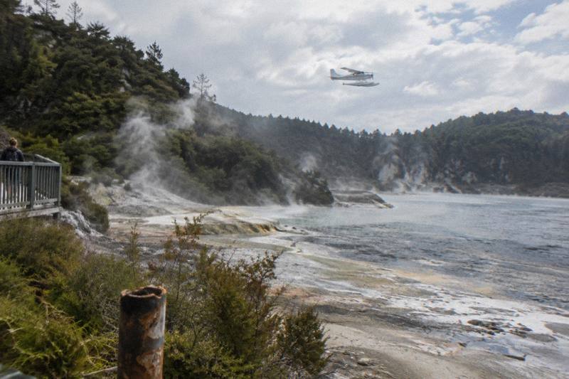
Every Volcanic Air scenic flight in Rotorua leaves from the same Lakefront pier, and from there the routes fan out across the crater lakes, Mount Tarawera, the Waimangu Valley and, on the longer trips, Orakei Korako to the south.
Short answer
Rotorua scenic flights take off from the Lakefront at 1 Lakefront Drive, under 1 km from the town centre. Short 15 minute flights circuit the crater lakes; Tarawera flights cross Lakes Okareka, Okataina and Tarawera to the 1,111 m summit and the eruption rift that GNS Science measures at 17 km; longer trips continue to Waimangu Volcanic Valley and Orakei Korako. Exact flight paths are approximate and weather dependent.
If you are weighing up the options first, the broader guide to Rotorua scenic flights covers pricing and trip lengths, and the Rotorua Helicopter Tours home page lists every flight side by side. What this page adds is the geography: which lake you cross, which dome you fly along, and which trips land where.
| Fact | Detail |
|---|---|
| Take-off point | Rotorua City Lakefront, 1 Lakefront Drive, Rotorua 3010 |
| Distance from town centre | Under 1 km |
| Check-in | Helicopters 30 minutes prior, floatplanes 20 minutes prior |
| Operator history | Flying in Rotorua since 1992 |
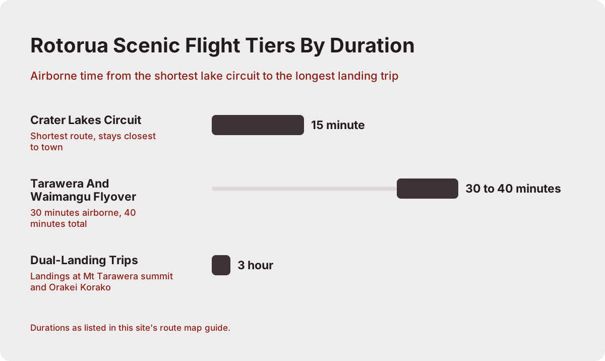
| Flight tiers | 15 minute lake circuit to 3 hour dual-landing trips |
| Landing spots | Mt Tarawera summit, Orakei Korako (by helicopter or floatplane) |
| Route accuracy | Exact paths not published; descriptions approximate |
Where Do Rotorua Scenic Flights Take Off From?
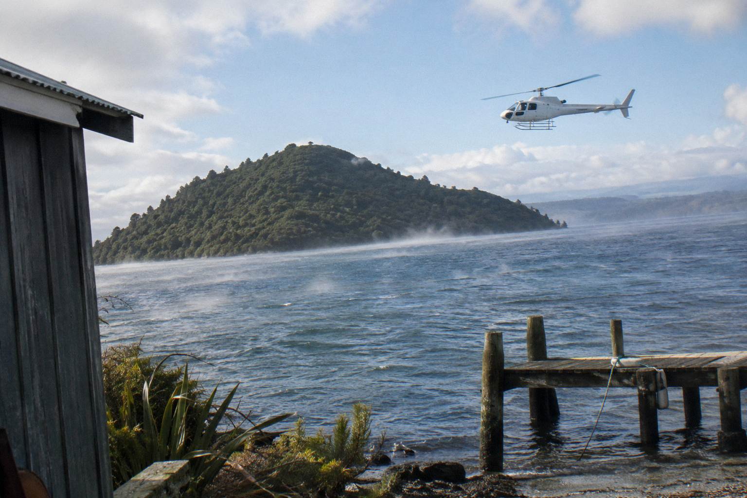
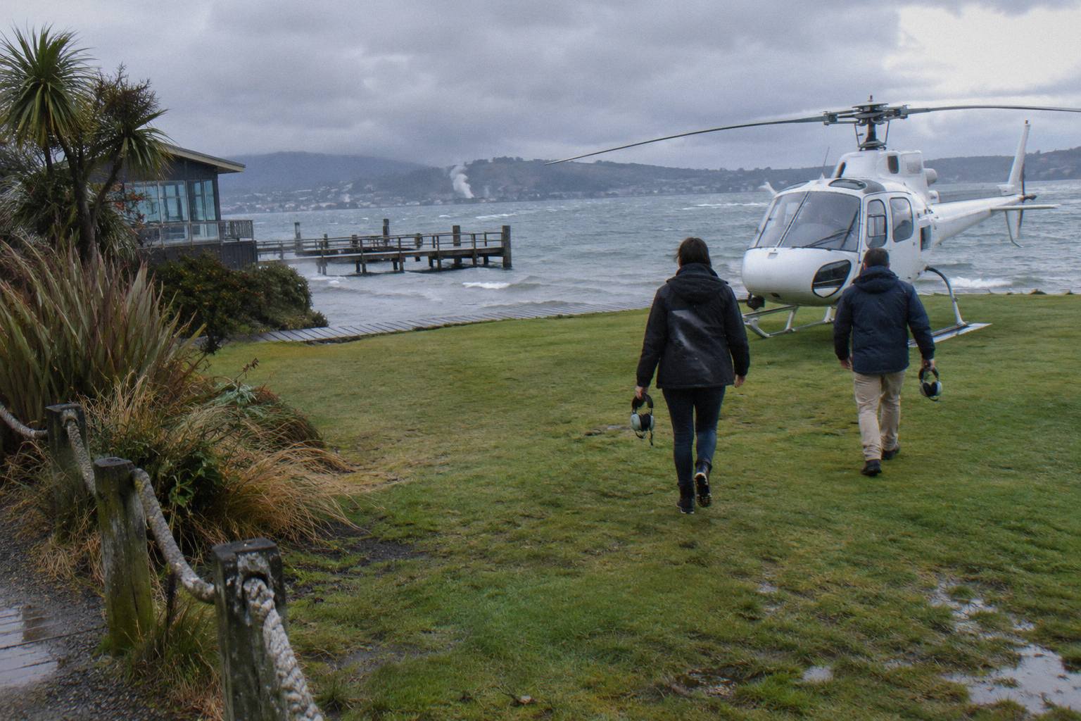
Every flight on the line-up, helicopter or floatplane, departs from the Volcanic Air base at the Rotorua City Lakefront, 1 Lakefront Drive, under 1 km from the town centre. Floatplanes taxi out and lift off from Lake Rotorua itself; helicopters use the Lakefront pad beside the office. Check-in happens at the same office for both, 30 minutes before a helicopter flight and 20 minutes before a floatplane, with a full safety briefing included.
That single departure point is the quiet advantage of flying in Rotorua. There is no transfer to an airfield on the edge of town, no shuttle from a hotel that may or may not be included (hotel pickup is not part of standard flights; the operator offers direct pick-ups only for bespoke charters). You walk from most central accommodation to the Lakefront, check in, get briefed, and you are airborne from the pier or the pad minutes later. The operator's own crater lakes flight page describes floatplanes "departing from our city-center lakefront pier, your floatplane will take off from Lake Rotorua" (Volcanic Air crater lakes flight page).
The base also matters for how you plan the day. Because the office is on the lakefront, you can pair a morning flight with the Sulphur Bay walkway, the lakefront playground or a coffee on the terrace, all within a few hundred metres. If the weather turns, the reschedule conversation happens in person at the same counter rather than over a phone line from a remote strip.
The shared base also means the aircraft mix is visible before you fly. On a busy morning the helicopters cycle through the pad while floatplanes load at the pier, and watching both gives you a feel for the aircraft you are about to board, which helps anyone in your group who is nervous about the difference. The two check-in windows are worth setting a phone reminder for: arriving late for a helicopter briefing at 30 minutes prior can cost the departure slot, since the briefing is a fixed part of the sequence rather than a formality.
| Departure detail | Helicopter flights | Floatplane flights |
|---|---|---|
| Check-in time | 30 minutes prior | 20 minutes prior |
| Take-off surface | Lakefront pad | Lake Rotorua, from the pier |
| Hotel pickup | Not part of standard flights | Not part of standard flights |
| Briefing | Full safety briefing at the office | Full safety briefing at the office |
What Does The 15 Minute Crater Lakes Route Cover?
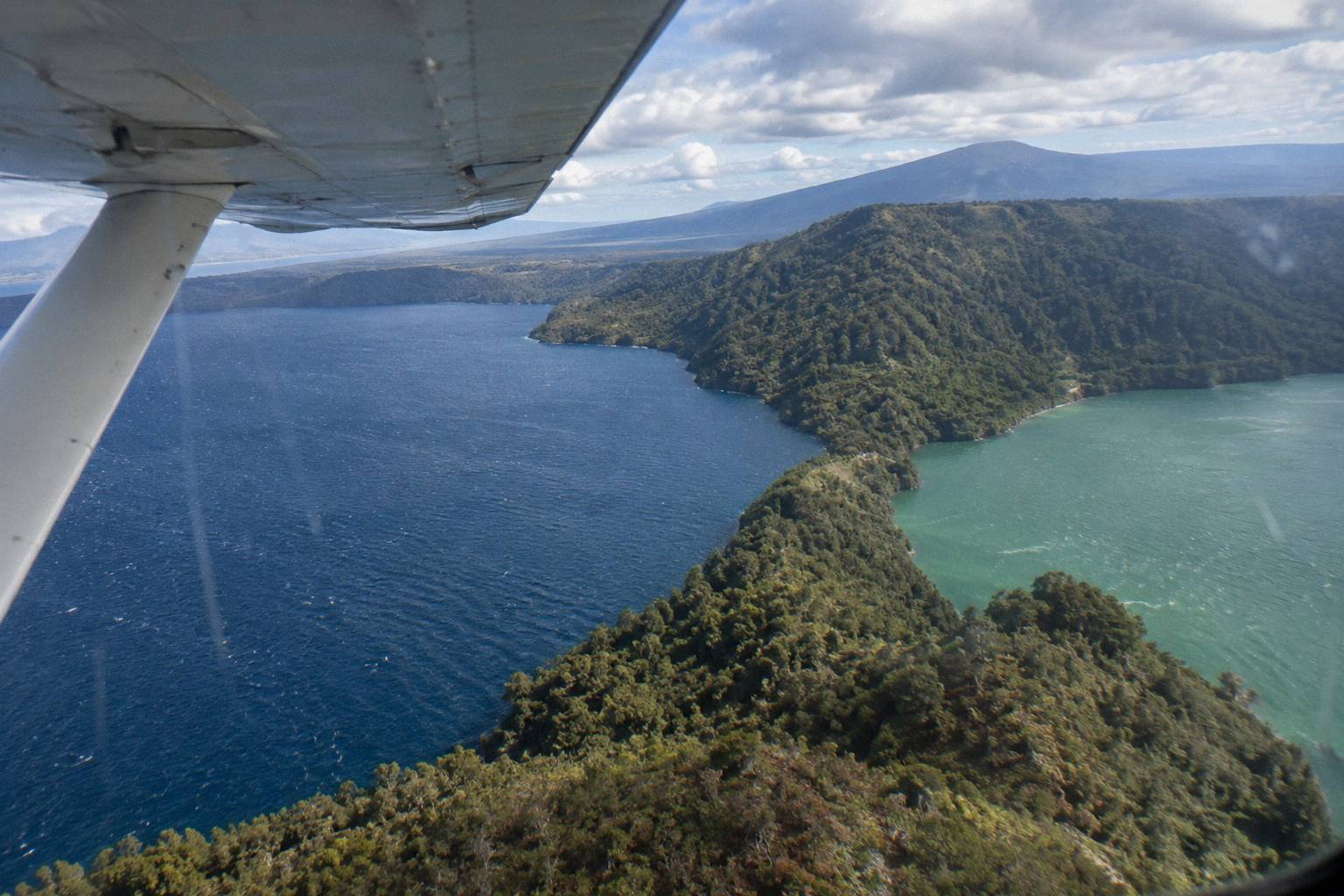
The 15 minute crater lakes circuit is the shortest route on the line-up and stays closest to town. It climbs out over Lake Rotorua, swings past Mokoia Island, described by the operator as a native bird sanctuary, and sweeps across a chain of crater lakes before returning to the Lakefront. The operator's page names Rotoiti, Okataina, Tarawera, Okareka, Rotomahana, Rotokakahi (Green Lake) and Tikitapu (Blue Lake) among the lakes viewed, and references views of 12 distinct crater lakes.
The route comes in two aircraft versions, and the choice is more than cosmetic. The 15-Minute Crater Lakes Flight by Helicopter banks and turns tightly, which suits photographers who want the nose pointed at a lake rather than along it. The 15-Minute Crater Lakes Flight by Floatplane, the related trip on this page, takes off from and lands on the water, and the lake take-off run is itself part of the spectacle. Neither version lands anywhere; both are pure circuits back to the Lakefront.
Which lakes you actually cross on a given day depends on the pilot's track, and that is worth saying once and clearly: exact flight paths are not published, and any route description, including this one, is approximate. What is fixed is the inventory of landmarks within reach and the rough arc from the pier, around the lake country east and south of the city, and home. The area is part of the Okataina volcanic centre, the system that built these lake basins, documented by GeoNet's Okataina volcanic centre page.
Named lakes on the operator's flight page, for orientation:
- Lake Rotorua: the take-off lake, with Mokoia Island, a native bird sanctuary, and Sulphur Bay in the climb-out.
- Lake Okareka and Lake Okataina: the first of the eastern lake chain on the way toward Tarawera.
- Lake Tarawera: the large lake sitting directly under the mountain's southern flank.
- Lake Rotomahana: the lake that grew into the 1886 rift; GNS records that remnants of the Pink Terraces may lie at its bottom.
- Rotokakahi (Green Lake) and Tikitapu (Blue Lake): the paired lakes southwest of Tarawera, close enough to frame together from the air.
- Lake Rotoiti: the northern lake on the wider circuit.
The Scenic Floatplane, Tarawera And Waimangu version of the short flight stretches the same idea to 30 minutes airborne (40 minutes total), trading the tight lake circuit for a run down to Tarawera and the Waimangu Valley. That makes it the natural step up if you want the eruption landscape, not just the lakes, without committing to a landing trip.
It rates 4.9 from 28 reviews and starts from NZ$395 per person, with free cancellation up to 24 hours in advance, and all amounts on this page are in New Zealand dollars. The floatplane is a flyover, not a mountain landing; the landing trips are a separate tier described below.
Which Route Takes You Over Mount Tarawera?
The Tarawera route is the one: it leaves the lake chain behind, runs southeast to the mountain, and crosses Lakes Okareka, Okataina and Tarawera on the way. From there it follows the line of the summit rift and its craters, an 8 km stretch of the 17 km rift that GNS Science describes as running across the mountain top, through Lake Rotomahana and into the Waimangu Valley.
The distinction matters more than it looks on a map. Tarawera is not a single cone but three domes, Ruawahia, Tarawera and Wahanga, with Ruawahia the highest and the summit at 1,111 m. The eruption of the night of 10 June 1886 split the mountain along that rift, destroyed the Pink and White Terraces and killed more than 100 people in the villages nearby, a story covered in full in the guide to the 1886 eruption seen from above. Flying the line, you read the eruption's geometry rather than a single crater.
Several trips fly this route with different endings. The Helicopter Volcano Landing and the Helicopter Landing, Guided Summit Walk both land on the summit when the pilot approves it; the One-Hour Volcanic Adventure gives the mountain more time; the floatplane versions from the short-flight tier overfly it. A landing is never guaranteed: the operator's terms state that excursion landings are undertaken at your own risk and at the pilot's sole discretion, with tour duration and flight times varying due to weather conditions, volcanic activity and passenger loadings. For a deeper look at that decision, see whether you can land on Mount Tarawera by helicopter.
There is a cultural layer to the route as well. Independent summit access on foot is not permitted; the mountain is reached through authorised guided trips or approved helicopter landings. Ngati Rangitihi hold kaitiakitanga of the maunga, and the Ruawahia 2B Trust, which governs the mountain, reinvests most tourism concession revenue into conservation. A helicopter ticket is one of the sanctioned ways onto the summit, and the concession arrangement is part of why the access rules exist.
The Helicopter Volcano Landing trip carries a 4.9 rating from 43 reviews and free cancellation up to 24 hours in advance, which makes it the most review-supported of the landing options. The Helicopter Landing, Guided Summit Walk runs about 40 minutes total, from NZ$675 per person, with a 15 minute guided walk on the summit when the landing goes ahead. The exact landing spot on the mountain is not published, so treat any map pin as approximate.
Where Does The Waimangu Valley Sit On The Route?
Waimangu Volcanic Valley sits at 587 Waimangu Road, roughly 14 km south of Rotorua via State Highway 5 and then 6 km along Waimangu Road, about 25 minutes' drive from the city centre, making it the southern anchor of the Tarawera routes. By air it lies at the far end of the 1886 rift, its geothermal system attributed by the valley's own pages directly to the 10 June 1886 eruption.
On the map in your head, place Waimangu southeast of Tarawera, below Lake Rotomahana. The 30 minute Scenic Floatplane, Tarawera And Waimangu trip is built around exactly that pairing: summit rift first, then the steaming valley, then the turn for home. The longer Floatplane, Waimangu Included trip runs about 2 hours from NZ$1,230 per person and pairs the flight with time in the valley itself, and the family angle of that pairing is covered in how to build one day around a flight and Waimangu.
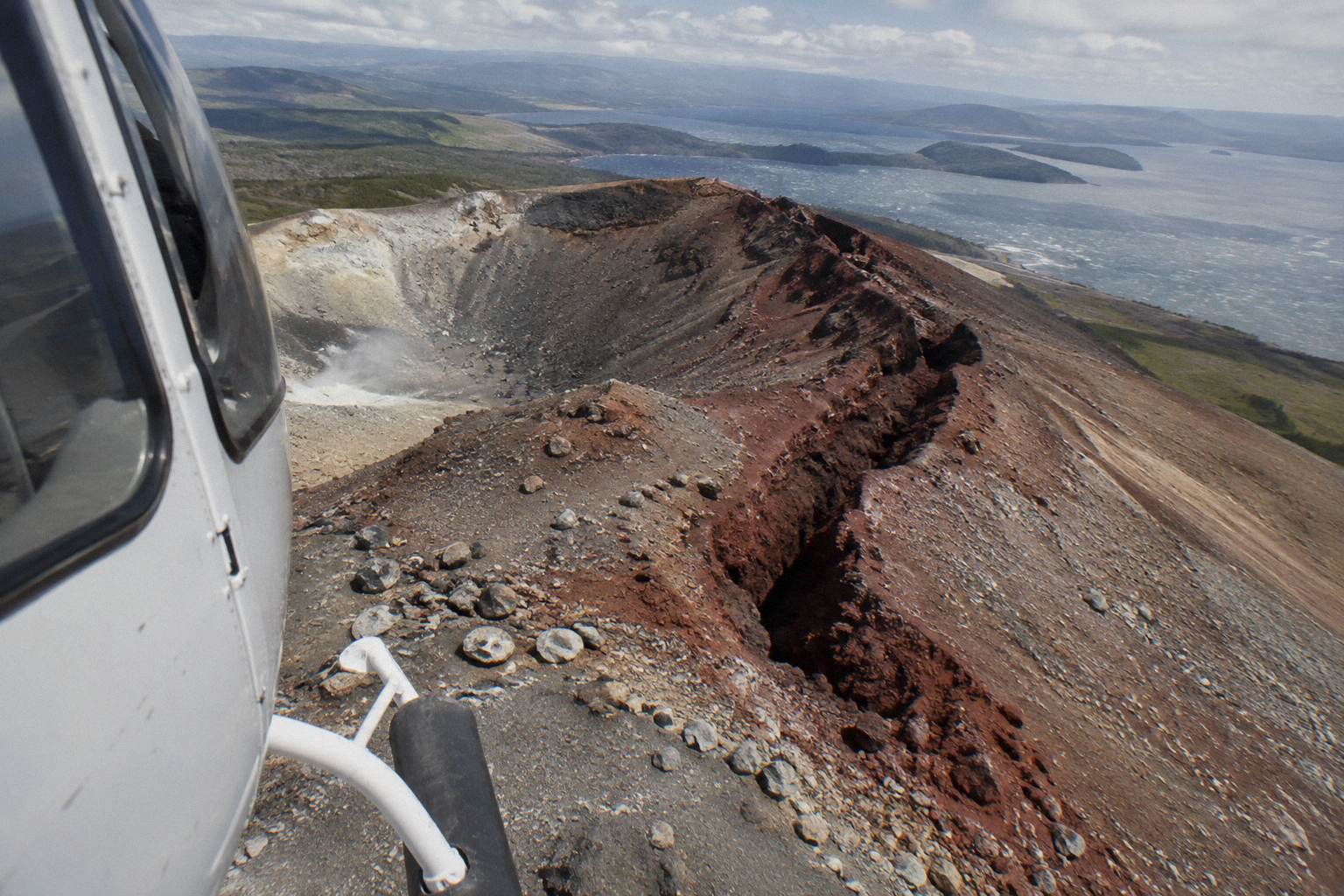
What you see from the air at Waimangu depends entirely on conditions, and no flight promises specific steam columns or crater views. The booking wording for the scenic floatplane is blunt about this: the tour is weather dependent and will not go ahead if it is not safe to do so, or if the views cannot be seen. That is a useful protection for the buyer, because a valley flyover in thick cloud is a lake flyover with extra steps, and the operator treats it that way too. The valley's location and road access are documented on Waimangu's getting-here page, useful if you are pairing a flight with a ground visit.
The valley also anchors the geography of the eruption in a way the summit alone cannot. The rift runs from the mountain top, through Lake Rotomahana, and into the area that became Waimangu, which means a single flight down that line crosses the whole 1886 sequence. GNS Science's Tarawera material covers this geometry in detail; the short version for a passenger is that the steam you may see at the valley's far end is the eruption's continuing afterlife, more than a century on.
How Far South Do The Orakei Korako Routes Go?
The Orakei Korako routes are the longest legs on the line-up. The park sits in the Taupo Volcanic Zone on the Waikato River at Lake Ohakuri, between Taupo and Rotorua, about 45 minutes' drive from Rotorua by road. The operator's floatplane description says the pilot touches down on the winding Waikato River at the Hidden Valley, with the return leg crossing farmland and the Paeroa Range, so this route leaves the volcanic lakes entirely and follows river country south.
Once on the water, the geography changes character again. The geothermal field at Orakei Korako is only accessible by boat, a short ferry ride across the lake from the Visitor Centre, and the boats leave on request rather than to a timetable, as described on the Orakei Korako visitor access page. The park's own claims, which should be read as operator wording, run to up to 23 active geysers and Ruatapu Cave, over 36 m deep, reaching the Pool of Mirrors.
Three trips reach this far. The Floatplane, Orakei Korako Landing runs about 2 hours total from NZ$845 per person. The Dual Landing Thermal Explorer helicopter lands at both Tarawera and Orakei Korako in one outing. The Geothermal Park Landing trip runs 3 hours from NZ$1,490 per person and pairs the Tarawera summit with Orakei Korako as well. All three carry free cancellation up to 24 hours in advance.
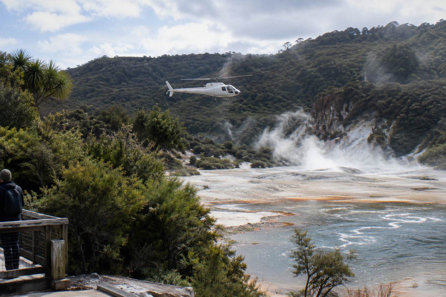
The dual-landing format is the full map in one booking: lakes, summit, rift, Waimangu country and the river valley, with two touchdowns. The trade-off is simply time and price, and the comparison between the pairing options is laid out in the guide to helicopter and Orakei Korako trips.
For anyone who wants the water take-off without the long southern leg, the 15-Minute Crater Lakes Flight by Floatplane keeps the lake departure and the bird sanctuary arc in a short, tidy circuit.
Which Trips Pass Each Landmark?
Every landmark on the line-up is reached by specific trips, and the table below shows which ones cover each site. Treat it as a coverage guide rather than a track line, since exact paths are not published and the pilot may reorder or trim a route for weather, volcanic activity, or loading. No trip lands on Whakaari: island landings are suspended, its routes fly east to the coast, and any overflight is a flyover only.
| Landmark | Passes over | Lands there |
|---|---|---|
| Lake Rotorua and Mokoia Island | Every trip (take-off and return) | No landing (flyover) |
| Crater lakes (Okareka, Okataina, Tarawera, Rotomahana, Green and Blue Lakes) | Crater lakes flights, Tarawera flights, dual-landing trips | No landing (flyover) |
| Mt Tarawera summit and rift | Tarawera flights, Volcanic Extremes, dual-landing trips, Geothermal Park Landing | Helicopter landing trips only, pilot's discretion |
| Waimangu Volcanic Valley | Scenic Floatplane Tarawera And Waimangu, Floatplane Waimangu Included, longer southern routes | No landing from the air line-up |
| Orakei Korako on the Waikato River | Dual-landing and Geothermal Park trips on the southern leg | Floatplane on the river; helicopter trips at the park |
| Whakaari / White Island, about 48 km off Whakatane | Floatplane White Island trips, Volcanic Extremes helicopter | Landings suspended; flyover only |
Two readings of the table help with choosing. If your must-see is the summit rift, any Tarawera route delivers the overflight and only the helicopter landing trips add the touchdown. If your must-see is geothermal colour, the southern routes to Orakei Korako or the Waimangu pairing beat the lake circuits, because steaming valleys are what that landscape is built from.
The line-up's price spread also maps cleanly onto distance from the base, which is worth seeing side by side:
| Trip | Aircraft | Reach on the map | From price |
|---|---|---|---|
| Crater Lakes By Helicopter, 15 Minutes | Helicopter | Lake circuit, Mokoia Island | Price on the booking page |
| Crater Lakes By Floatplane, 15 Minutes | Floatplane | Lake circuit, Mokoia Island | Price on the booking page |
| Scenic Floatplane, Tarawera And Waimangu | Floatplane | Lakes, Tarawera rift, Waimangu | NZ$395 per person |
| Helicopter Landing, Guided Summit Walk | Helicopter | Tarawera summit landing | NZ$675 per person |
| Floatplane, Orakei Korako Landing | Floatplane | Southern run, Waikato River landing | NZ$845 per person |
| Floatplane, Waimangu Included | Floatplane | Tarawera, Waimangu, valley time | NZ$1,230 per person |
| Geothermal Park Landing, 3 Hours | Helicopter | Tarawera and Orakei Korako, two landings | NZ$1,490 per person |
The pattern is simple: you pay for distance and touchdowns. Beyond about the 40 minute mark, the increments buy either a landing, a second region, or ground time paired with the flight, and the table above shows exactly where each step happens on the map.
What About The Whakaari Leg Of The Map?
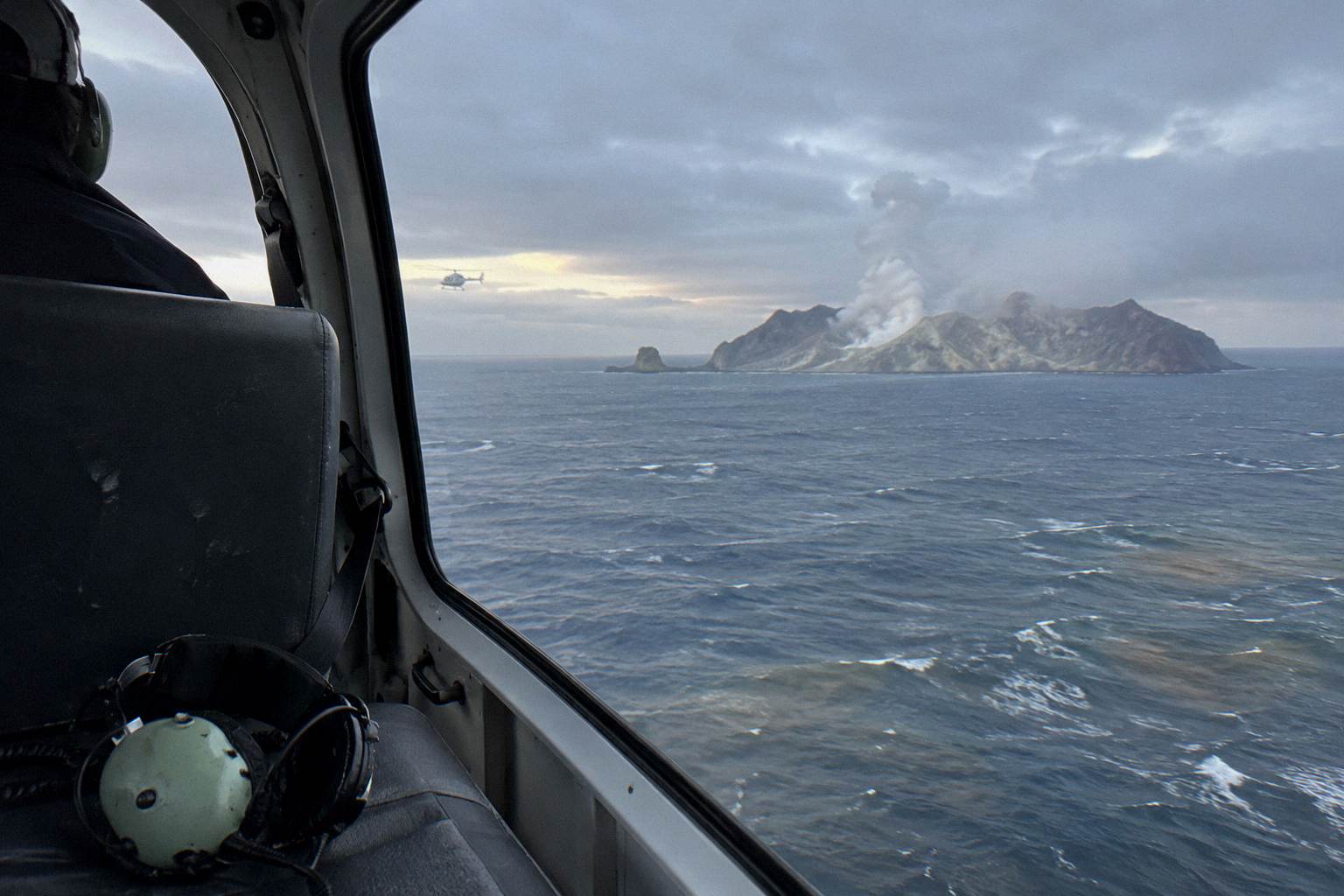
The Whakaari routes are the outlier on the map: they fly east from the Lakefront, out over the coast and about 48 km offshore to the island, rather than through the crater lake country. Landings on the island are suspended; the official wording is that there are currently no boat tours to, or helicopter flights that land on, the island, so every trip that mentions Whakaari is a flyover. The island's volcanic status changes and is monitored continuously.
The live status of the volcano sits on GeoNet's Whakaari page, which carries the current bulletin and alert information; it is the place to check close to departure, because no page like this one can hold a standing status that shifts with the volcano.
Three trips make that eastern run. The Floatplane, White Island And Tarawera trip pairs the island with the mountain. The White Island, Mount Tarawera and Waimangu floatplane adds the valley. The Volcanic Extremes helicopter totals 1 hour 45 minutes and lands at Tarawera when the pilot approves, making it the only trip that combines the offshore island with a mountain touchdown. The operator describes the island as New Zealand's only permanently active offshore volcano, which is why the long leg east exists at all. The full decision picture, including what a flyover can and cannot include, is in the guide to Whakaari flyover versus landing.
Planning-wise, treat the Whakaari routes as a different product: more flight time, a coastal and ocean leg the lake trips never touch, and a landing only at Tarawera, never at the island. Weather windows over 48 km of open water are tighter than over sheltered lakes, so keep your schedule flexible on those days, and expect the operator to reschedule rather than push a marginal window.
If the eastern leg sounds like too much machine time, the 15-Minute Crater Lakes Flight by Helicopter is the compact alternative on the opposite side of the map.
What Mistakes Do People Make When Reading A Scenic Flight Map?
The biggest mistake is treating a route description as a guaranteed track line, when exact flight paths are never published and pilots adjust for weather and loading, with landings made only at the pilot's sole discretion. Others include ignoring check-in requirements of 30 minutes for helicopters and 20 for floatplanes, and wrongly assuming hotel pickup is included when standard flights require you to reach the Lakefront yourself.
A few more map-reading errors cost real money or real time:
- Booking the 15 minute circuit expecting Tarawera. The short routes stay in the lake country; the mountain is a different tier of flight.
- Expecting to land at Whakaari. Island landings are suspended; the line-up flies over, and no booking changes that.
- Confusing the two rift numbers. The 17 km figure is the GNS description of the full rift; the 8 km figure is the operator's wording for the span over the mountain itself.
- Assuming the exact landing spot on Tarawera is known. The operator does not publish it; the pin on any map is approximate.
- Overlooking weight rules. Passengers are weighed on arrival against the weight declared at booking, and a deviation can mean a reschedule, a surcharge or a cancellation at the operator's discretion, per clause 1.16 of the operator's terms and conditions.
- Forgetting that children are weighed into the seating plan too. Under 2 flies on a lap, and ages 2 to 11 pay child rates, but weights still matter for balance.
| Mistake | What actually happens | How to avoid it |
|---|---|---|
| Treating the route as fixed | Pilot reorders or trims for weather, activity and loading | Pick the landmark, not the track |
| Assuming a guaranteed Tarawera landing | Landings at pilot's sole discretion, at your own risk | Book the trip for the flight, treat the landing as a bonus |
| Expecting hotel pickup | Pickup is for bespoke charters only | Plan to walk or drive to the Lakefront |
| Ignoring the declared weight | Weighed on arrival; deviation can mean surcharge, reschedule or cancellation | Declare accurately at booking |
| Reading the rift as one number | 17 km is GNS's full rift; 8 km is the operator's mountain span | Use each with its attribution |
One habit avoids most of these: read the route tier first, the landing language second, and the price last. The routes are the product; everything else is a condition attached to them.
The seasonal layer matters less than people assume, since the operator flies all year in daylight hours, but the pattern is real: the driest, warmest weather in Rotorua runs from late spring in October to early autumn in April, and mornings tend to give the calmest conditions and softest light, as the regional tourism body's weather note for Rotorua sets out. November is the driest month on the 1991 to 2020 normals at 86.8 mm of rain; July the wettest at 137.4 mm. None of that guarantees a window on any given day, and every flight still goes only if conditions are safe.
For a quick orientation before choosing, the bare-bones version is this: one base on the Lakefront, three tiers of route (lakes, Tarawera, southern river country), an eastern outlier to Whakaari, and landings only at Tarawera and Orakei Korako. Fit the map to the landmark you most want, then let the pilot fit the track to the day. If the aerial-versus-surface comparison is part of your decision, whether a flight beats the hike up Tarawera looks at the two directions from the same summit.
Common Questions About Scenic Flight Routes
Where Do Rotorua Scenic Flights Take Off From?
Every trip departs from the Volcanic Air base at the Rotorua City Lakefront, 1 Lakefront Drive, under 1 km from the town centre. Floatplanes take off from Lake Rotorua at the lakefront pier and helicopters use the Lakefront pad. Check in at the office 30 minutes before a helicopter flight or 20 minutes before a floatplane flight.
Which Lakes Do The 15 Minute Crater Lakes Flights Cover?
The operator's crater lakes flight page names Rotoiti, Okataina, Tarawera, Okareka, Rotomahana, Rotokakahi (Green Lake) and Tikitapu (Blue Lake), and references views of 12 distinct crater lakes, plus Mokoia Island, described as a native bird sanctuary. The exact lake sequence on any day is at the pilot's discretion and depends on weather.
Do Any Rotorua Scenic Flights Land On Mount Tarawera?
Yes, the helicopter landing trips land on the summit for a guided walk when the pilot approves it. The operator's terms state that excursion landings are undertaken at your own risk and at the pilot's sole discretion, and that duration and inclusions may vary with weather, volcanic activity and passenger loadings, so a landing is never guaranteed.
Can A Scenic Flight Land At Orakei Korako?
Yes. The floatplane landing trips touch down on the Waikato River at the Hidden Valley, and the dual-landing helicopter trips include Orakei Korako alongside Tarawera. The geothermal field itself is reached by a short on-request ferry ride from the Visitor Centre, as it is accessible only by boat.
Do The Whakaari Routes Land On The Island?
No. Landings on Whakaari are suspended; the official wording is that there are currently no boat tours to, or helicopter flights that land on, the island. Rotorua trips that include Whakaari are flyovers only, and its volcanic status is monitored on GeoNet's live bulletin.
Are The Published Flight Routes Exact?
No. Exact flight paths are not published, and every description, map and pin is approximate. Routes are adjusted for weather, volcanic activity and loading, and the operator's weather policy allows it to reschedule or fully refund a flight that cannot safely go ahead.