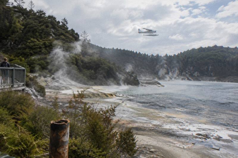
Rotorua Scenic Helicopter Flights: Routes, Lakes, And Volcano Views
Every Rotorua scenic flight leaves from the same Lakefront pier, and each one trades a different slice of volcano country: 15-minute lake hops, a Tarawera and Waimangu flyover, or river landings at a geothermal park. Here is what each route actually crosses.
Short answer
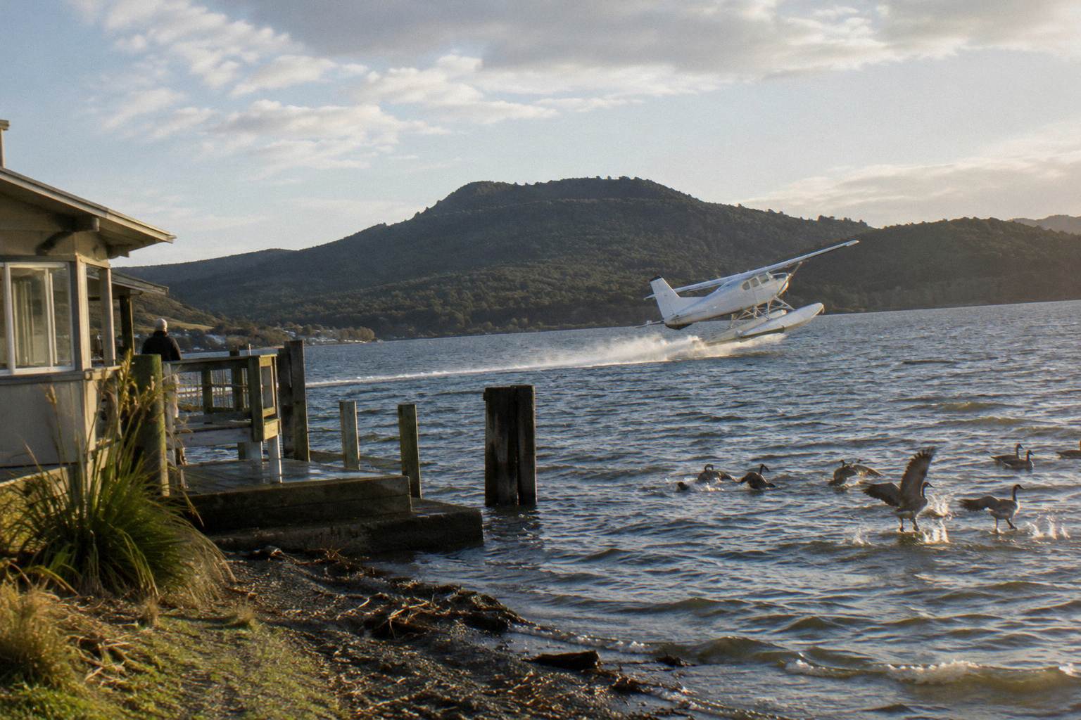
Rotorua scenic flights run by helicopter and floatplane from the Lakefront, from a 15-minute crater lakes circuit to a 40-minute Tarawera and Waimangu flyover from NZ$395 per person, which rates 4.9 from 28 reviews. Floatplanes take off from Lake Rotorua itself; the flight menu, weights and weather rules are compared below.
Part of the Rotorua helicopter rides overview series.
| Quick Fact | Detail |
|---|---|
| Meeting point | Volcanic Air, Lakefront, 1 Lakefront Drive, Rotorua 3010 |
| Check-in | 30 minutes prior for helicopters, 20 minutes prior for floatplanes |
| Vehicles | Helicopters and floatplanes, both from the Lakefront |
| Shortest scenic flight | 15 minutes, crater lakes circuit |
| Mid-length flyover | 30 minutes flying, 40 minutes total, from NZ$395 per person |
| Operator history | Flying in Rotorua since 1992 |
What Can You Actually See From A Scenic Flight Over Rotorua?
The view from a Rotorua scenic flight stacks a city lake, a bird-sanctuary island and a chain of volcanic crater lakes into less than an hour of flying, with Mt Tarawera's ruptured summit as the headline. Flights climb away from the Lakefront, round Mokoia Island, described by the operator as a native bird sanctuary, and track south east across the lake district towards Tarawera. Steam, bush-clad domes and water fill the window.
The lakes named on the operator's crater lakes route give a useful checklist of what scenic flying here means: Rotoiti, Okataina, Tarawera, Okareka, Rotomahana, Rotokakahi, known as Green Lake, and Tikitapu, known as Blue Lake. The operator's page for that flight also describes views of 12 distinct crater lakes. Mokoia Island, Sulphur Bay and the city itself appear on departure and return, and the pilot's commentary names what is below.
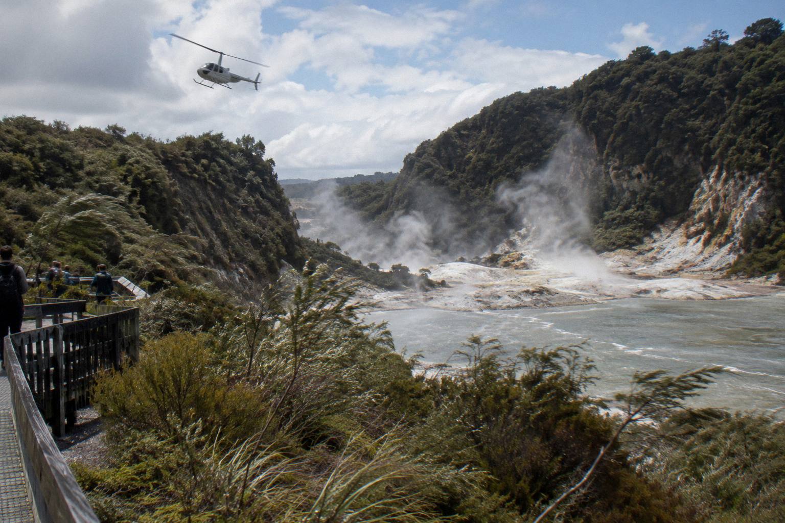
What turns a lake list into volcano country is the ground between the lakes. Tarawera, Rotomahana and the Waimangu Valley all sit on the line of the 1886 eruption, a subject covered in the Mount Tarawera 1886 eruption flight guide. GNS Science describes a 17 km rift from that eruption running across the mountain top, through Lake Rotomahana and into the Waimangu Valley area; the operator's own flight wording for the Tarawera landing tour speaks of flying over 8 km of rift and craters across the mountain itself.
None of that is promised on any given day. The operator's terms note that flights land and take off on hard terrain or water, and that natural hazards include geothermal activity and fast changing weather. A scenic flight only runs when the pilot judges conditions safe, and one booking-page wording is blunt: the flight will not go ahead if it is not safe to do so, or if the views cannot be seen.
Helicopter Or Floatplane: Which Vehicle Suits A Scenic Flight?
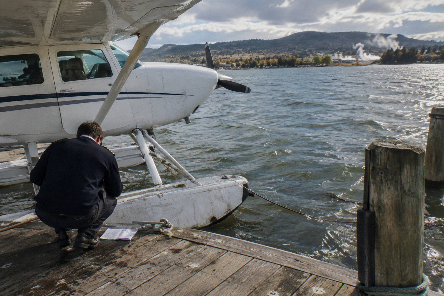
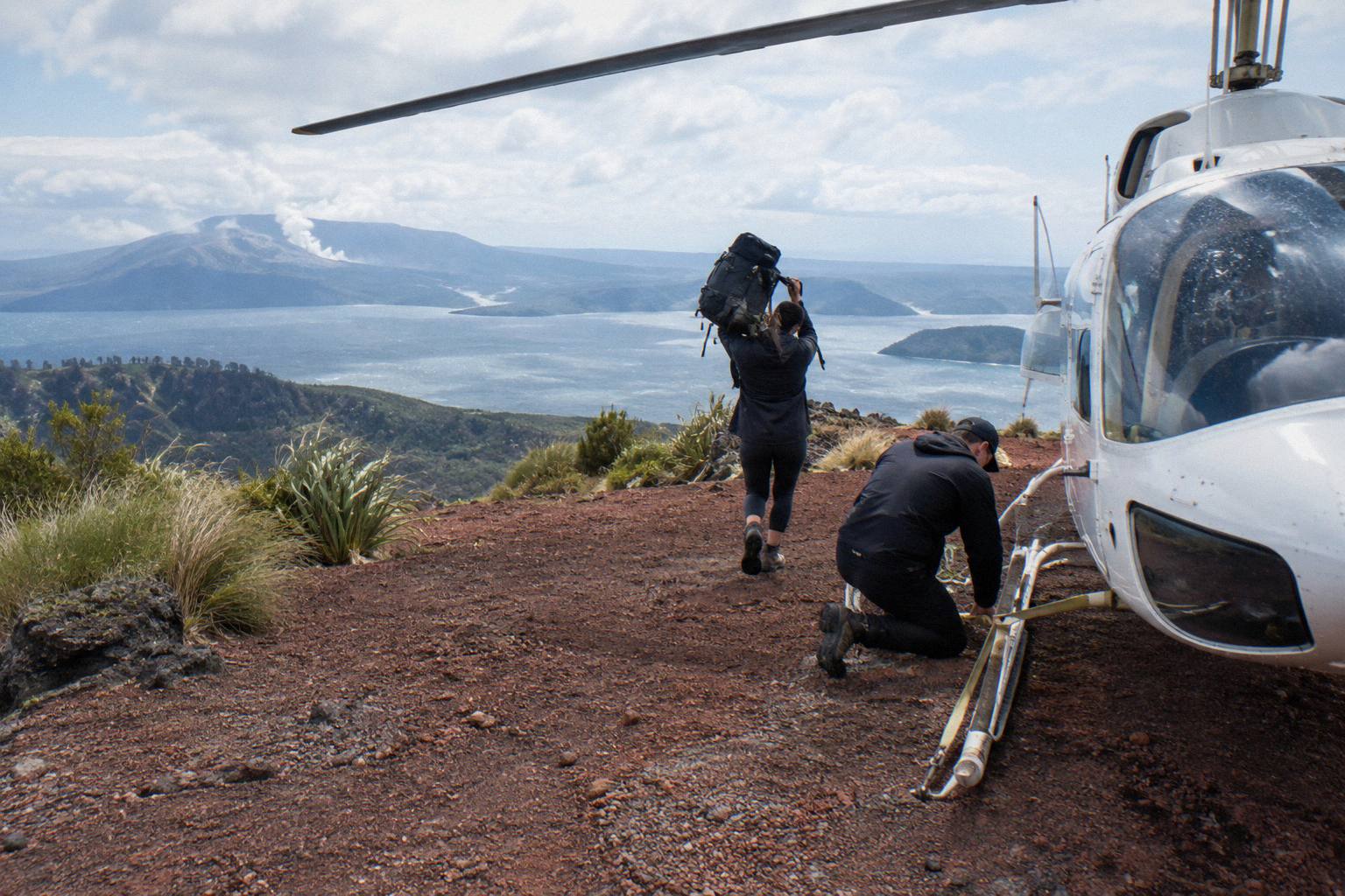
Helicopters and floatplanes give different scenic experiences from the same Lakefront base, and the choice is mostly about window shape, speed and landing options rather than altitude. Floatplanes take off from Lake Rotorua itself, off the city lakefront pier, giving a long water run as the lakes region opens beneath you. Helicopters lift vertically, hover-pace the craters, and are the only vehicle of the two that lands on Mt Tarawera's summit.
The operator's FAQ puts the practical difference simply: both aircraft leave from the Lakefront office, and check-in is 30 minutes prior for helicopters and 20 minutes prior for floatplanes, always with a full safety briefing before anyone boards.
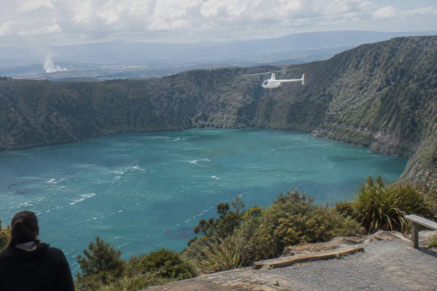
For pure sightseeing, both vehicles appear at the short and mid-length end of the menu. The 15-minute crater lakes circuit exists in both forms, helicopter and floatplane, at the same flight length, so the choice there is genuinely about whether a lake take-off or a vertical lift sounds better. The deeper split comes with landings: Orakei Korako geothermal park is reached by floatplane touching down on the Waikato River, while the Tarawera summit walk-off is a helicopter product, a distinction explored in the Rotorua helicopter versus floatplane guide.
Neither vehicle has a price on every product. Where a from-price exists in the operator's own data it is given below beside its own trip; where none exists, the live price sits with availability.
What Does The 15-Minute Crater Lakes Flight Cover?
The 15-minute crater lakes flight is the shortest scenic option, a 15-minute circuit from the Lakefront over the nearest of the crater lakes with no landing, offered by both helicopter and floatplane. It is the low-commitment taste of flying in Rotorua: brief, close to town, and built entirely around lakes rather than volcanoes. The floatplane version rolls off Lake Rotorua on take-off; the helicopter version lifts from beside it.
The operator's crater lakes page describes the floatplane experience as departing from the city lakefront pier, taking off from Lake Rotorua, climbing around Mokoia Island and continuing over the lakes district, with views back across Sulphur Bay and the city. It is a circuit, not a transit: you are up, around the water, and back within the quarter hour.
Who it suits is easy to frame. If the goal is to say you flew over Rotorua's lakes, to photograph Mokoia Island or to test how a small aircraft feels before committing to a longer volcano route, the 15-minute hop does that at the lowest entry point of the scenic menu. If the goal is Tarawera's craters or steaming ground, it does not reach them, and the longer routes below are the better spend.
The helicopter version of the same circuit carries no price or rating in the operator's data, so treat the booking page as the price source. The floatplane version has a small review pool of its own, too small to treat as a rating signal.
What Does The Tarawera And Waimangu Flyover Cross?
The Tarawera and Waimangu scenic floatplane flight is the mid-length option: 30 minutes of flying, about 40 minutes door to door, from NZ$395 per person, rating 4.9 from 28 reviews. It is a flyover, not a landing, tracking south east over the crater lakes to Mt Tarawera's rifted summit and the steam of Waimangu Volcanic Valley before returning across the lakes. Free cancellation applies up to 24 hours in advance.
This is the route that connects the two halves of the 1886 story in one flight. GNS Science attributes a 17 km rift to the eruption, running across Tarawera's top, through Lake Rotomahana and into the Waimangu Valley area; Waimangu's own pages state its geothermal system is the result of the 10 June 1886 eruption. From the air the line reads as a scar: domes, craters, the enlarged Rotomahana, and valley steam further down the rift.
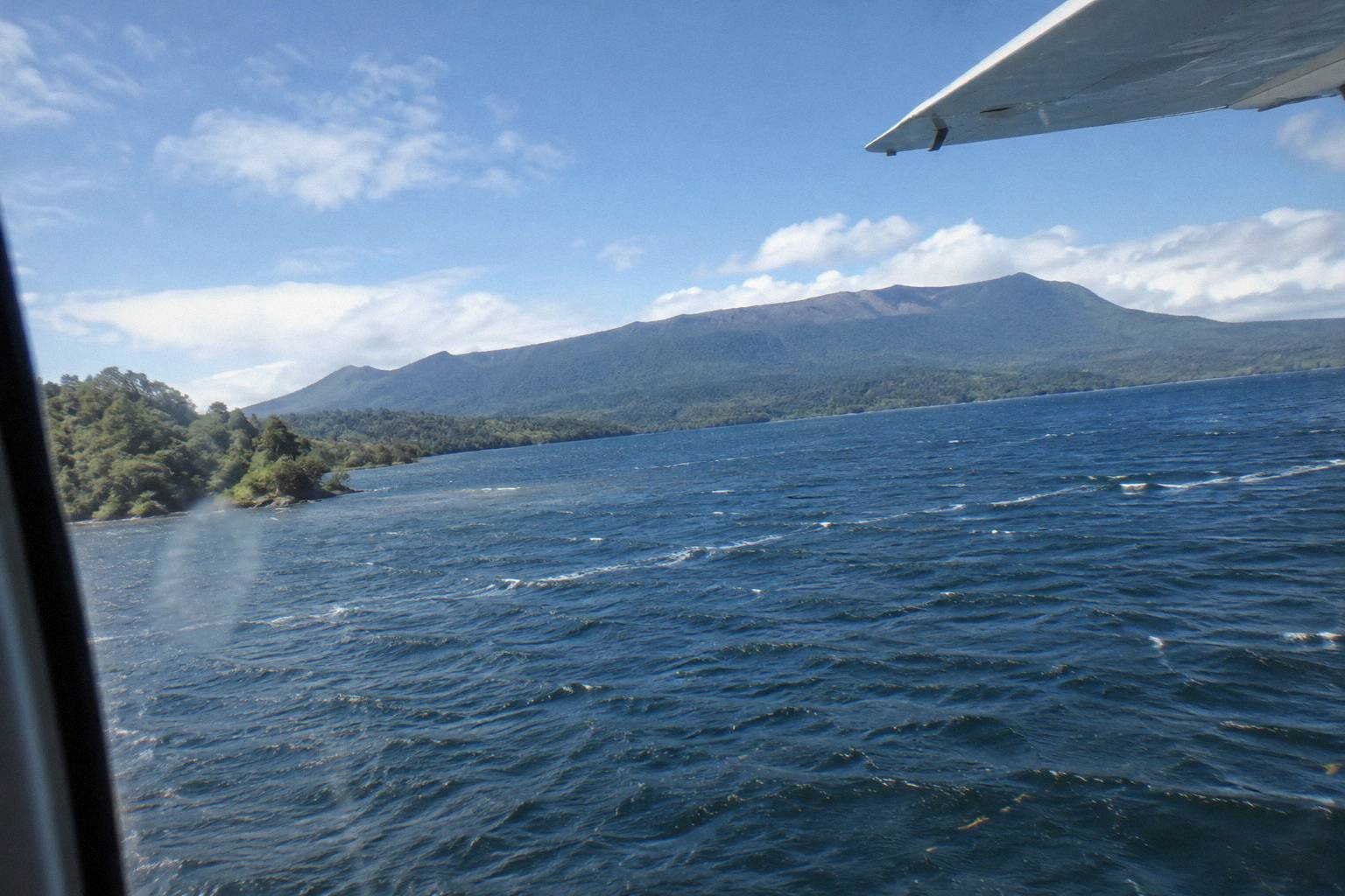
The booking description of this trip carries an unusually direct weather clause: it is weather dependent and will not go ahead if it is not safe, or if the views cannot be seen. For a flight whose whole product is the view, that is the right clause. If weather closes in, the operator's FAQ says flights that cannot proceed are rescheduled or fully refunded.
Whether the summit is worth landing on rather than flying over is a separate question with a separate price, covered in the Mt Tarawera helicopter landing guide; the scenic flyover skips the landing fee and the walk, and keeps the window seat.
Which Lakes And Places Does Each Scenic Route Overfly?
Each scenic route crosses a different, named set of lakes, and the operator publishes those sets per flight: the crater lakes circuit covers Rotoiti, Okataina, Tarawera, Okareka, Rotomahana, Rotokakahi and Tikitapu on its wider description, while the Tarawera landing flights cross Okareka, Okataina and Tarawera on the way to the mountain. Knowing the set tells you whether a flight is a lake circuit, a volcano run, or both stitched together.
Only the crossings stated by the operator or the product data are listed below; a blank cell means the route's description does not name that place, not that it is invisible from the window. More of these guides are collected on Rotorua Helicopter Tours.
| Scenic trip | Vehicle | Flight time | Landing | Lakes and places named on the route |
|---|---|---|---|---|
| Crater Lakes By Helicopter, 15 Minutes | Helicopter | 15 min | No landing (flyover) | Crater lakes district, up to 12 lakes described |
| Crater Lakes By Floatplane, 15 Minutes | Floatplane | 15 min | No landing (flyover) | Lake Rotorua take-off, Mokoia Island, Sulphur Bay, city views |
| Scenic Floatplane, Tarawera And Waimangu | Floatplane | 30 min | No landing (flyover) | Mt Tarawera, Waimangu Valley |
| Tarawera Volcano Floatplane | Floatplane | 30 min | No landing (flyover) | Mt Tarawera volcano |
| Floatplane, Waimangu Included | Floatplane | approx 2 hr total | No landing (flyover) | White Island, Mt Tarawera, Waimangu Volcanic Valley |
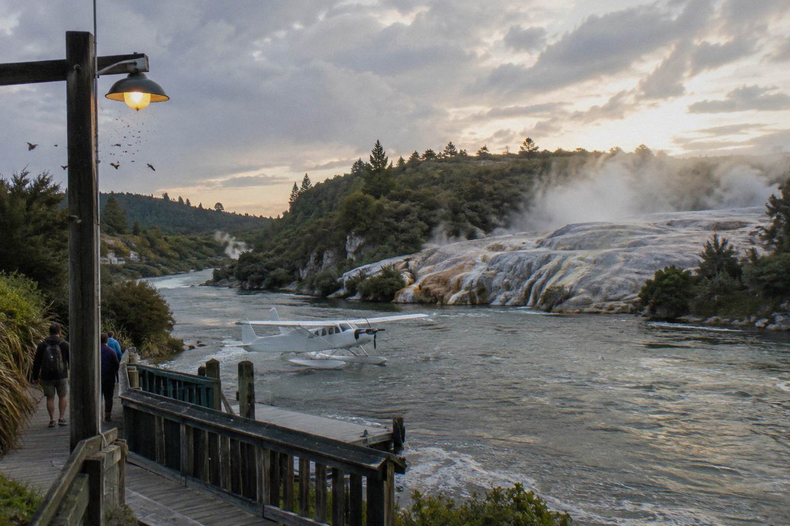
| Floatplane, Orakei Korako Landing | Floatplane | approx 2 hr total | Orakei Korako | Waikato River landing, Hidden Valley, Paeroa Range return |
The Orakei Korako landing flight is the odd one out in the scenic family: the operator describes the pilot touching down on the winding Waikato River at the Hidden Valley, with a return over farmland and the Paeroa Range. The park itself says its geothermal field is only accessible by boat, a short ferry ride across the lake from the visitor centre, with boats leaving on request rather than to a timetable.
How Much Do Rotorua Scenic Flights Cost?
From-prices exist for four of the scenic family's products: the Tarawera and Waimangu flyover from NZ$395 per person, the Orakei Korako floatplane landing from NZ$845 per person, the White Island, Tarawera and Waimangu floatplane from NZ$1,230 per person, and the helicopter landing with guided summit walk from NZ$675 per person. All amounts are New Zealand dollars, per person, and each price belongs to its own trip only.
Comparing across trips is the useful move, provided each figure stays tied to its own product:
| Trip | Vehicle | Landing | From-price per person | Rating |
|---|---|---|---|---|
| Scenic Floatplane, Tarawera And Waimangu | Floatplane | No landing (flyover) | NZ$395 | 4.9 from 28 reviews |
| Helicopter Landing, Guided Summit Walk | Helicopter | Mt Tarawera summit | NZ$675 | 5.0 from 12 reviews |
| Floatplane, Orakei Korako Landing | Floatplane | Orakei Korako | NZ$845 | 8 reviews |
| Floatplane, Waimangu Included | Floatplane | No landing (flyover) | NZ$1,230 | 7 reviews |
| Geothermal Park Landing, 3 Hours | Helicopter | Tarawera and Orakei Korako | NZ$1,490 | No reviews yet |
Two patterns are worth reading off that table. First, landings drive the price more than minutes do: the step from a flyover to a Tarawera summit landing roughly doubles the entry cost. Second, review pools on most of these products are small, a handful of reviews each, which is why ratings are shown only where the pool carries one; a rating from fewer than a dozen travellers is a data point, not a verdict. The wider price picture across the region, including how a New Zealand helicopter ride compares nationally, is set out in the how much a helicopter ride costs in New Zealand guide.
Every product in the table carries the booking-page terms of free cancellation up to 24 hours in advance for a full refund. That is the term that matters when booking a weather-dependent scenic flight months out. Where no price is shown here, the live booking page holds it.
What Are The Weight, Child And Weather Rules For Scenic Flights?
Weights are declared at booking and checked on arrival: individual weights help the operator seat the aircraft within balance limits, a deviation from the declared weight can mean rescheduling, a surcharge or cancellation at the operator's discretion, and passengers over 110 kg may attract a surcharge while over 135 kg as weighed requires two adult fares. Children of all ages are welcome, under 2s fly on a lap, and ages 2 to 11 pay child rates.
The operator's FAQ explains the weighing plainly: it exists so the aircraft stays within safe balance limits, not as a judgement. One helicopter product in the line-up lists a maximum of 6 travellers and a total weight per passenger of 110 kg, a figure tied to that trip rather than the whole fleet. The full picture is in the Rotorua helicopter flight weight limits guide.
Weather is the other gate. The operator's FAQ states all flights operate subject to suitable weather and safe flying conditions, and that flights which cannot go ahead due to weather are rescheduled or fully refunded; the terms add that operator cancellations for circumstances beyond its control, including weather and volcanic activity, are refunded in full. What that means day to day, and what a cancelled morning actually looks like, is covered in what happens when a Rotorua flight is cancelled for weather.
Pregnancy and mobility are not automatic barriers, per the FAQ: both depend on the individual situation and the flight, and the operator asks to be told at booking. What to bring is short: camera, sunglasses, a jacket, and closed-toe comfortable footwear for any flight with a landing.
When Is The Best Time Of Day And Year To Fly?
Mornings often give the calmest weather, the smoothest flying and the softest photo light, while afternoons can offer warmer temperatures and late-day colour, especially in winter; the operator's FAQ says there is no hard and fast answer because it depends on the weather that day. Statistically, Rotorua's driest and warmest window runs from late spring, October, to early autumn, April, and flights operate all months of the year in daylight hours.
The rainfall normals sharpen that. On 1991 to 2020 data, November is the driest month at 86.8 mm, October next at 92.9 mm, while the winter months of June and July sit near 131.9 mm and 137.4 mm respectively. None of that grounds a flight: Rotorua weather changes fast enough that a July morning can out-fly a November afternoon. The regional tourism body's own note is the sensible one, that the driest and warmest weather runs October to April, per Rotorua NZ's seasonal FAQ.
| Month | Average rainfall (mm, 1991 to 2020 normals) |
|---|---|
| January | 93.8 |
| February | 100.4 |
| March | 100.3 |
| April | 133.0 |
| May | 130.2 |
| June | 131.9 |
| July | 137.4 |
| August | 125.2 |
| September | 106.6 |
| October | 92.9 |
| November | 86.8 |
| December | 117.1 |
Booking strategy follows from that. Because cancellation is free up to 24 hours ahead and weather moves the goalposts inside that window, booking a morning slot early in a stay leaves later days as reschedule fallbacks. The best time for a Rotorua helicopter flight guide works through the same logic in detail.
One caution on promises: a home-page photo caption shows passengers on the Tarawera summit at sunrise, but no scheduled sunrise or sunset flight is stated anywhere in the operator's material. Do not book expecting one unless a specific product names it.
Which Scenic Flight Should You Actually Book?
Book the 30-minute Tarawera and Waimangu flyover if volcano scenery is the point of the trip: it is the cheapest route that reaches the 1886 rift, from NZ$395 per person, with a 4.9 rating from 28 reviews. Book a 15-minute crater lakes circuit, either vehicle, if budget or nerves say keep it short. Book the Orakei Korako floatplane landing, from NZ$845 per person, to step out into geothermal ground rather than look down on it.
The decision tree has three forks: minutes, landing and vehicle. Minutes set the budget floor and ceiling. Landing is binary, and it is the single biggest step in price and in time. Vehicle decides the take-off story, a lake run or a vertical lift, and the two landing products are split by vehicle: Tarawera's summit is helicopter country, Orakei Korako's Hidden Valley is a river floatplane landing.
For travellers connecting scenic flying to the rest of a Rotorua day, the two mix well. A morning flyover of Tarawera and Waimangu pairs naturally with an afternoon on the ground at Waimangu Volcanic Valley, about 25 minutes' drive from the city centre at 587 Waimangu Road, per Waimangu's own directions. Seeing the rift from above and the valley steam from a walking track in one day is the region's best double-act.
What Mistakes Do People Make Booking Rotorua Scenic Flights?
The common mistakes are booking the only flight left on the last day of a stay, assuming a Tarawera summit landing is part of every volcano flight, under-declaring weight, and comparing trips by price alone without checking minutes and landings. Each scenic product is a different route with a different landing, and the cheapest is a lake circuit that never reaches the volcano. Weather punishes tight itineraries.
Concretely: leave a fallback day, because a flight with no fallback slot can turn into a refund instead of a memory. Declare weight accurately at booking, because the check on arrival is where deviations surface. Match the product to the goal, lake circuit versus volcano run versus geothermal landing, using the tables above rather than the price column alone. Check whether the chosen trip lands anywhere, and if it does, wear closed-toe shoes. Arrive at the Lakefront 30 minutes early for a helicopter and 20 for a floatplane, per the operator's FAQ at Volcanic Air's FAQ page, because the safety briefing is part of the slot.
And keep expectations weather-sized. The operator's own terms frame it: excursion landings are undertaken at your own risk and at the pilot's sole discretion, and tour duration, flight times and inclusions may vary with weather, volcanic activity and passenger loadings. For scenic flights over an active volcanic region, monitored day by day by GeoNet's Okataina volcanic centre page, that flexibility is the system working, not a flaw in it. More on what the passenger side of that looks like sits in the is a helicopter tour safe guide.
Common Questions About Scenic Flying Over Rotorua
What Can You Actually See From A Scenic Flight Over Rotorua?
Lakes Rotoiti, Okataina, Tarawera, Okareka, Rotomahana, Rotokakahi and Tikitapu, Mokoia Island, Sulphur Bay, the city, and on longer routes the Mt Tarawera rift, Waimangu Valley steam and White Island offshore. The exact set depends on the route; the longer flights reach the volcano country, the 15-minute circuits stay over the lakes district.
Helicopter Or Floatplane: Which Vehicle Suits A Scenic Flight?
Floatplanes take off from Lake Rotorua itself on a water run; helicopters lift vertically from beside the Lakefront. Both fly the 15-minute crater lakes circuit. Helicopters are the vehicle for the Tarawera summit landing; floatplanes land on the Waikato River at Orakei Korako. Choose on take-off style and landing goal.
What Does The 15-Minute Crater Lakes Flight Cover?
A 15-minute circuit from the Lakefront over the nearest crater lakes, with no landing, offered by both helicopter and floatplane. It suits a first flight or a budget taste of the lakes district; it does not reach Tarawera or Waimangu.
What Does The Tarawera And Waimangu Flyover Cross?
Thirty minutes of flying, about 40 minutes total, from NZ$395 per person, rating 4.9 from 28 reviews: the crater lakes on the way out, Mt Tarawera's rifted summit, and Waimangu Volcanic Valley on the 1886 eruption line. It is a flyover with no landing.
How Much Do Rotorua Scenic Flights Cost?
From NZ$395 per person for the Tarawera and Waimangu floatplane flyover, NZ$675 for the helicopter Tarawera landing with guided summit walk, NZ$845 for the Orakei Korako floatplane landing, and NZ$1,230 for the White Island, Tarawera and Waimangu floatplane. Amounts are New Zealand dollars, per person, each tied to its own trip.
What Are The Weight, Child And Weather Rules For Scenic Flights?
Declare individual weight at booking; passengers are weighed on arrival for aircraft balance. Over 110 kg may attract a surcharge; over 135 kg as weighed requires two adult fares. Children of all ages are welcome, under 2s on a lap, ages 2 to 11 at child rates. Weather cancellations mean rescheduling or a full refund, and booking-page terms allow free cancellation up to 24 hours ahead.