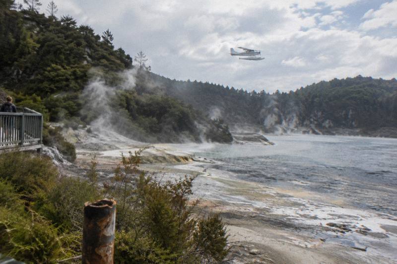
Helicopter Flight Plus Waimangu Volcanic Valley: Combo Flights
Waimangu Volcanic Valley is the youngest geothermal system in New Zealand, born the night Mt Tarawera erupted in 1886. A scenic flight that overflies it, followed by a walk through the valley itself, covers both the aerial and ground-level view of the same event, and only two flights include the valley in their route.
Short answer
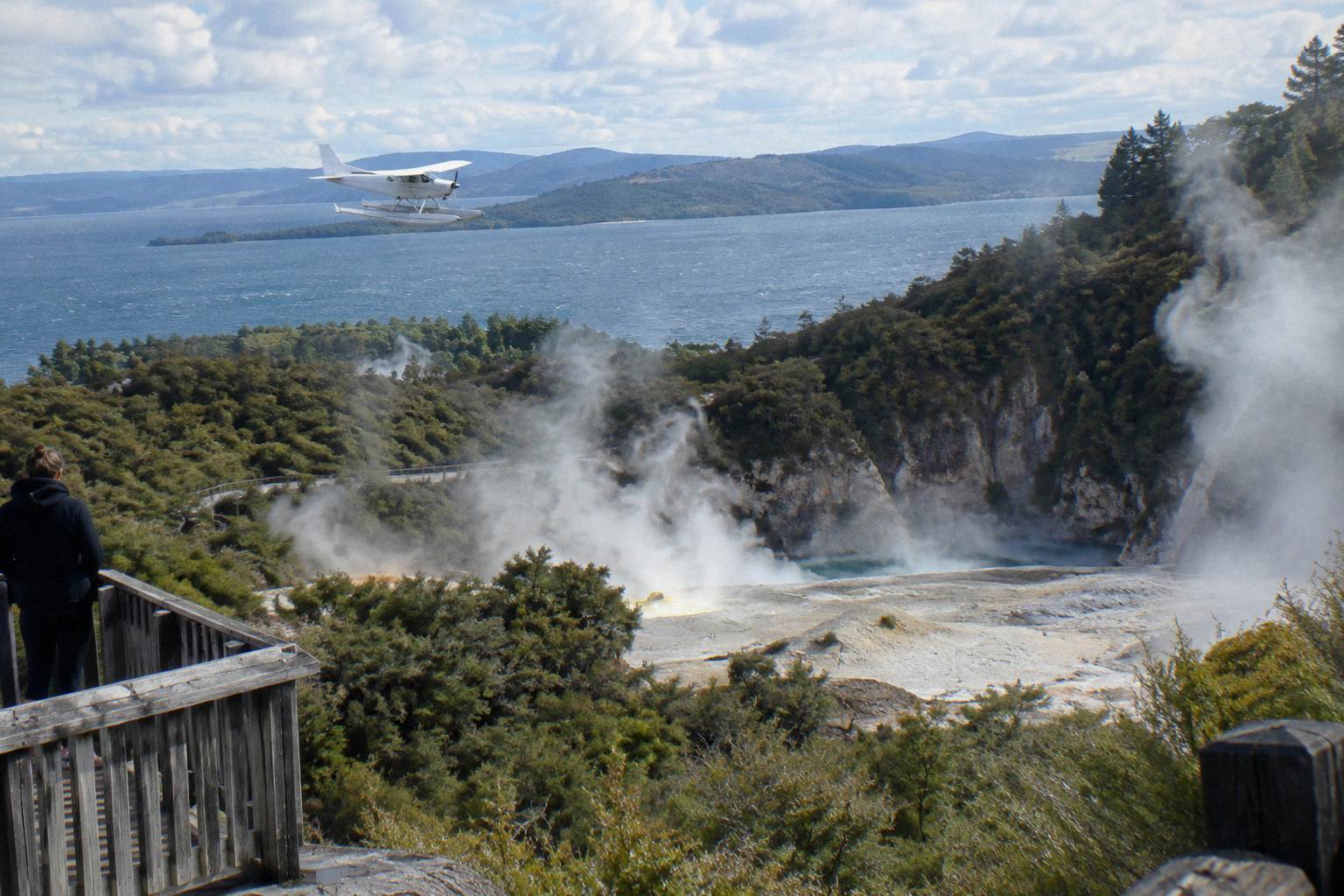
No flight lands at Waimangu; on the line-up it appears as a flyover inside two floatplane routes, the Floatplane, Waimangu Included trip from NZ$1,230 per person and the Scenic Floatplane, Tarawera And Waimangu trip from NZ$395 per person. To walk the valley, drive about 25 minutes from Rotorua city centre before or after your flight.
| Quick Facts | |
|---|---|
| Operator on the line-up | Volcanic Air, flying from Rotorua since 1992 |
| Meeting point | Volcanic Air, Lakefront, 1 Lakefront Drive, Rotorua 3010 |
| Check-in | 30 minutes prior for helicopters, 20 minutes prior for floatplanes |
| Flights overflying Waimangu | 2 floatplane trips on the line-up |
| Landing at Waimangu | Not offered; the valley is reached by road |
| Waimangu location | 587 Waimangu Road, about 14 km south of Rotorua then 6 km along Waimangu Road |
| Cancellation | Free cancellation up to 24 hours in advance for a full refund |
What Is A Waimangu Helicopter Flight?
A Waimangu helicopter flight, as most people search for it, is a scenic flight from Rotorua that overflies Waimangu Volcanic Valley, and on the current line-up that overflight happens inside two floatplane trips rather than a dedicated helicopter route. Neither flight lands in the valley itself. The valley walk is a separate activity reached by road, about 25 minutes from the city centre, so you are pairing two products: one in the air and one on foot.
The distinction matters because the words people use and the products that exist do not quite line up. Searches for a Waimangu helicopter flight usually mean "a flight where I see Waimangu," and two trips deliver exactly that: the White Island, Mount Tarawera & Waimangu Volcanic Valley Floatplane Flight, short name the Floatplane, Waimangu Included trip, and the Scenic Flight over Mt Tarawera & Waimangu Valley, short name the Scenic Floatplane, Tarawera And Waimangu trip. Both are floatplanes, both depart from the lakefront pier on Lake Rotorua, and both treat Waimangu as part of a longer route rather than a destination in itself.
The valley rewards the aerial view for a reason the ground walk cannot match. Waimangu sits at the southern end of the line the 1886 eruption opened, and from above you can read the whole sequence: the summit craters of Tarawera, Lake Rotomahana below, then the steaming channels of Waimangu continuing the rift direction. Waimangu's own information ties its geothermal system directly to the eruption of 10 June 1886, which makes the flight a kind of map key for the walk that follows.
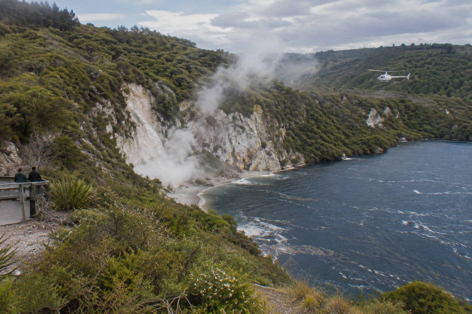
For readers still choosing between aircraft types, the comparison of Rotorua helicopters and floatplanes sets out the practical differences; the short version is that the floatplane's take-off run across Lake Rotorua is itself part of the experience, climbing past Mokoia Island, which the operator describes as a native bird sanctuary.
Which Flights Overfly Waimangu Volcanic Valley?
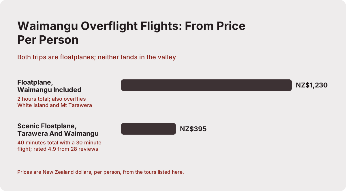
Two trips on the line-up include Waimangu in their route, and both are floatplanes. The Floatplane, Waimangu Included trip runs two hours total, from NZ$1,230 per person, and adds White Island and Mt Tarawera to the valley overflight. The Scenic Floatplane, Tarawera And Waimangu trip runs 40 minutes total with a 30 minute flight, from NZ$395 per person, rated 4.9 from 28 reviews. Amounts are New Zealand dollars.
That gap, roughly three times the price for roughly three times the flight, is the real decision in front of you. The shorter trip is a compact loop: Lake Rotorua on departure, the lakes country south of the city, the Tarawera rift and craters, then the steaming valley before turning for home. The longer trip heads for Whakaari first, the island lying about 48 km off the coast of Whakatane, and returns over Tarawera and Waimangu so the whole volcanic chain is covered in one aircraft.
| Trip | Aircraft | Total time | Waimangu in route | From price | Notes |
|---|---|---|---|---|---|
| Floatplane, Waimangu Included | Floatplane | 2 hours | Flyover | NZ$1,230 per person | Also overflies White Island and Mt Tarawera |
| Scenic Floatplane, Tarawera And Waimangu | Floatplane | 40 minutes | Flyover | NZ$395 per person | Rated 4.9 from 28 reviews |
| Floatplane, White Island And Tarawera | Floatplane | No | White Island and Tarawera focus | ||
| Volcanic Extremes, 1h45m Helicopter | Helicopter | 1 hour 45 minutes | No | Tarawera summit landing, White Island overflight |
A third and fourth name belong in the conversation even though they do not cross the valley. The White Island & Mount Tarawera Floatplane Adventure, short name the Floatplane, White Island And Tarawera trip, covers the same offshore volcano and the mountain but leaves Waimangu out of the loop. The Helicopter White Island / Mount Tarawera Volcanic Extremes trip, short name the Volcanic Extremes trip, is the helicopter equivalent at one hour 45 minutes, and it includes a Mt Tarawera summit landing, something no Waimangu-including floatplane offers. If standing on the mountain matters more to you than seeing the valley from above, that trade is worth making consciously rather than by accident.
Can You Land At Waimangu By Helicopter?
No helicopter flight lands at Waimangu Volcanic Valley itself; the park has no airstrip or helipad and is reached by road at 587 Waimangu Road, where visitors walk the tracks. Landings nearby are reserved for the Mt Tarawera summit and Orakei Korako on the Waikato River, each at the pilot's discretion and weather dependent, so the practical plan is to overfly the valley, land elsewhere, and tour Waimangu by road.
The geography explains the landing pattern. Tarawera's summit is private maunga land, governed by the Ruawahia 2B Trust, which the operator works alongside as a concessionaire with Ngati Rangitihi, and approved helicopter landings are one of the authorised access routes to the top. Orakei Korako, by contrast, is reachable on floats because the park sits on the Waikato River at Lake Ohakuri; the operator's wording is that the pilot will touch down on the winding river before you walk the Hidden Valley. Waimangu offers neither a summit-style landing concession nor a water landing, so every Waimangu visit on this line-up is a flyover.
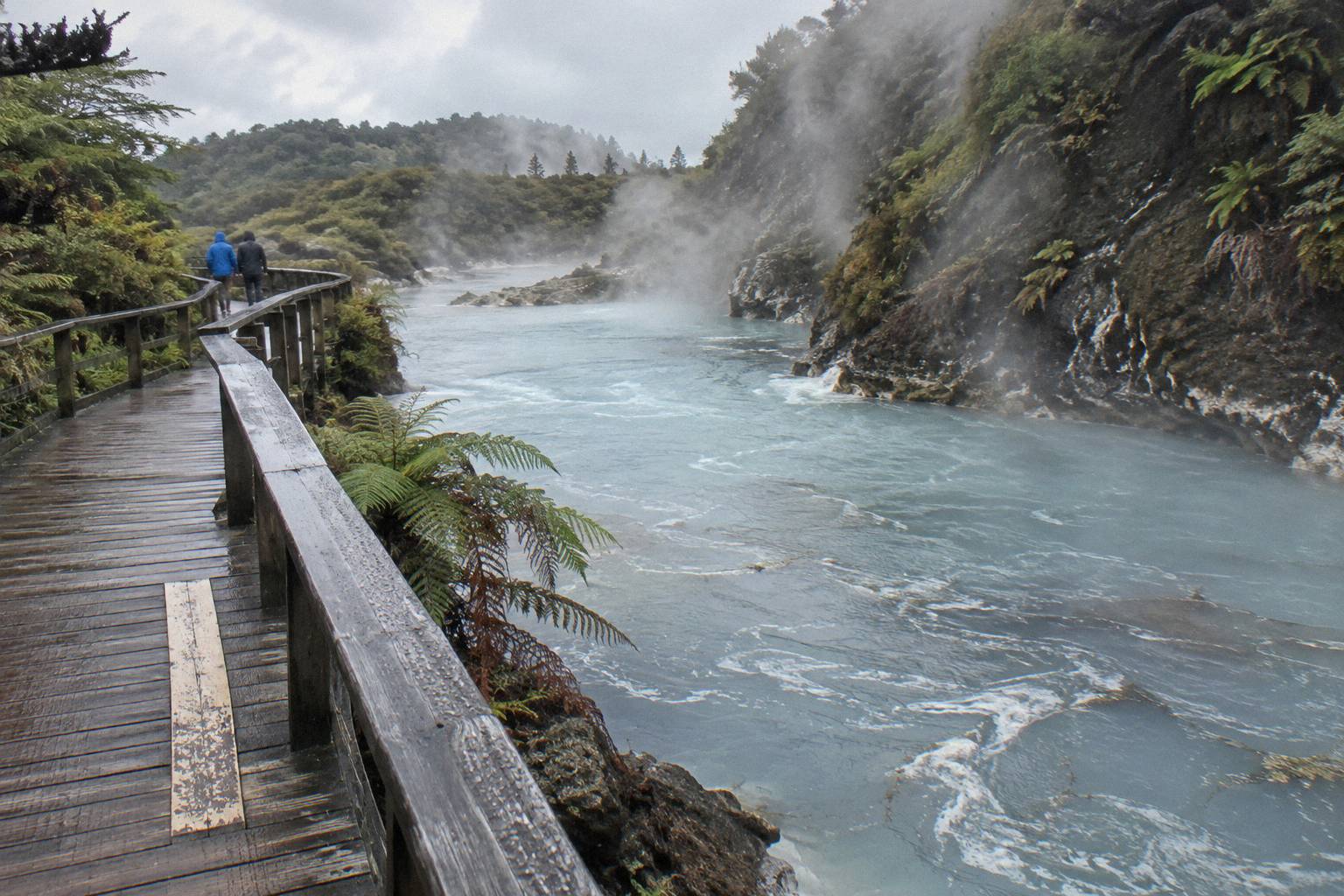
For readers weighing the other geothermal pairing, the guide to helicopter and Orakei Korako trips covers the one valley in the region where the aircraft and the walk connect without a car. Waimangu is the opposite shape of day: aircraft and walk are deliberately separate, and that separation is what makes the combo worth planning rather than buying as a single ticket.
What Does The Waimangu Overflight Actually Show You?
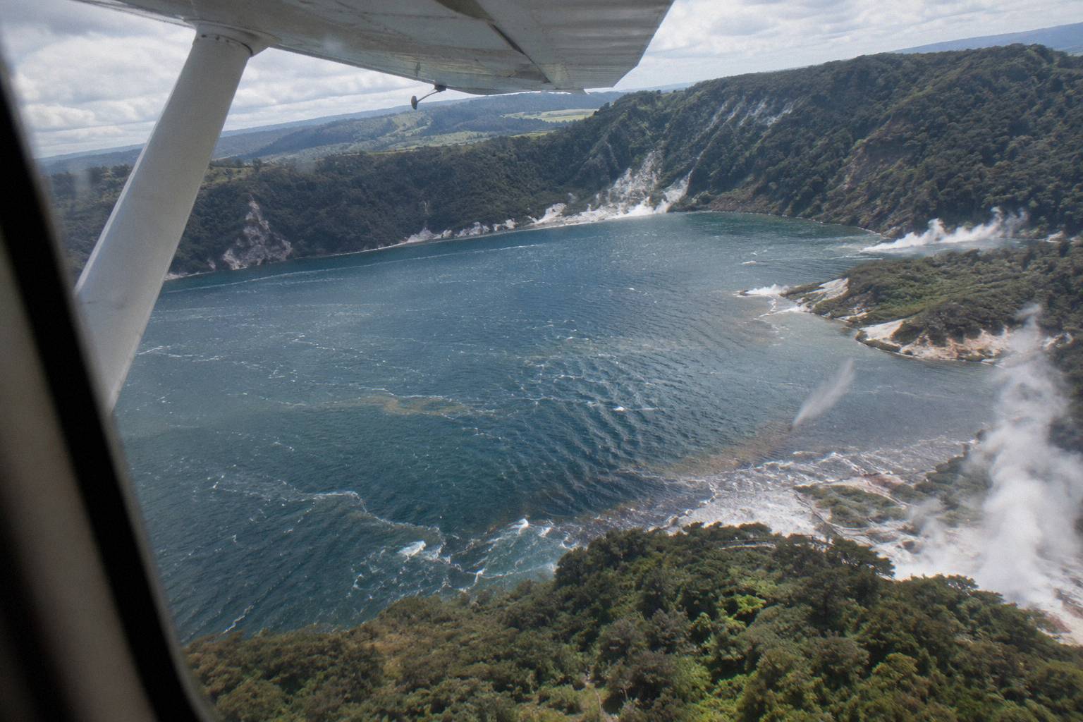
The overflight traces the 1886 rift from the air: Mt Tarawera's craters, the enlarged Lake Rotomahana where the Pink and White Terraces once stood, and the steaming valley floor of Waimangu itself, all in one continuous line. The operator's flight wording for the Tarawera routes is eight km of rift and craters over the mountain, while GNS science describes the full rift as 17 km long, running from the mountain through the lake into the valley area.
That difference is not pedantry, it is the best reason to fly the route with the history in mind. GNS, in its Tarawera fact sheet, describes a rift across the mountain top, through Lake Rotomahana and into the Waimangu Valley area; the operator's shorter figure is the stretch you cross directly over the summit. From the window seat you can see why the two numbers coexist: the visible scar over the mountain is one segment of a longer fractured line that keeps going under the lake and resurfaces as geothermal activity in the valley.
The eruption itself, on the night of 10 June 1886, buried the famous silica hot springs known as the Pink and White Terraces and killed more than 100 people in villages near the mountain, among them Te Wairoa, now known as the Buried Village. NZ History's account of the Tarawera eruption records the rift and the fate of Te Wairoa; GNS notes that remnants of the Pink Terraces may lie at the bottom of Lake Rotomahana, which is the kind of detail that changes how you look at the water from 1,000 feet up.
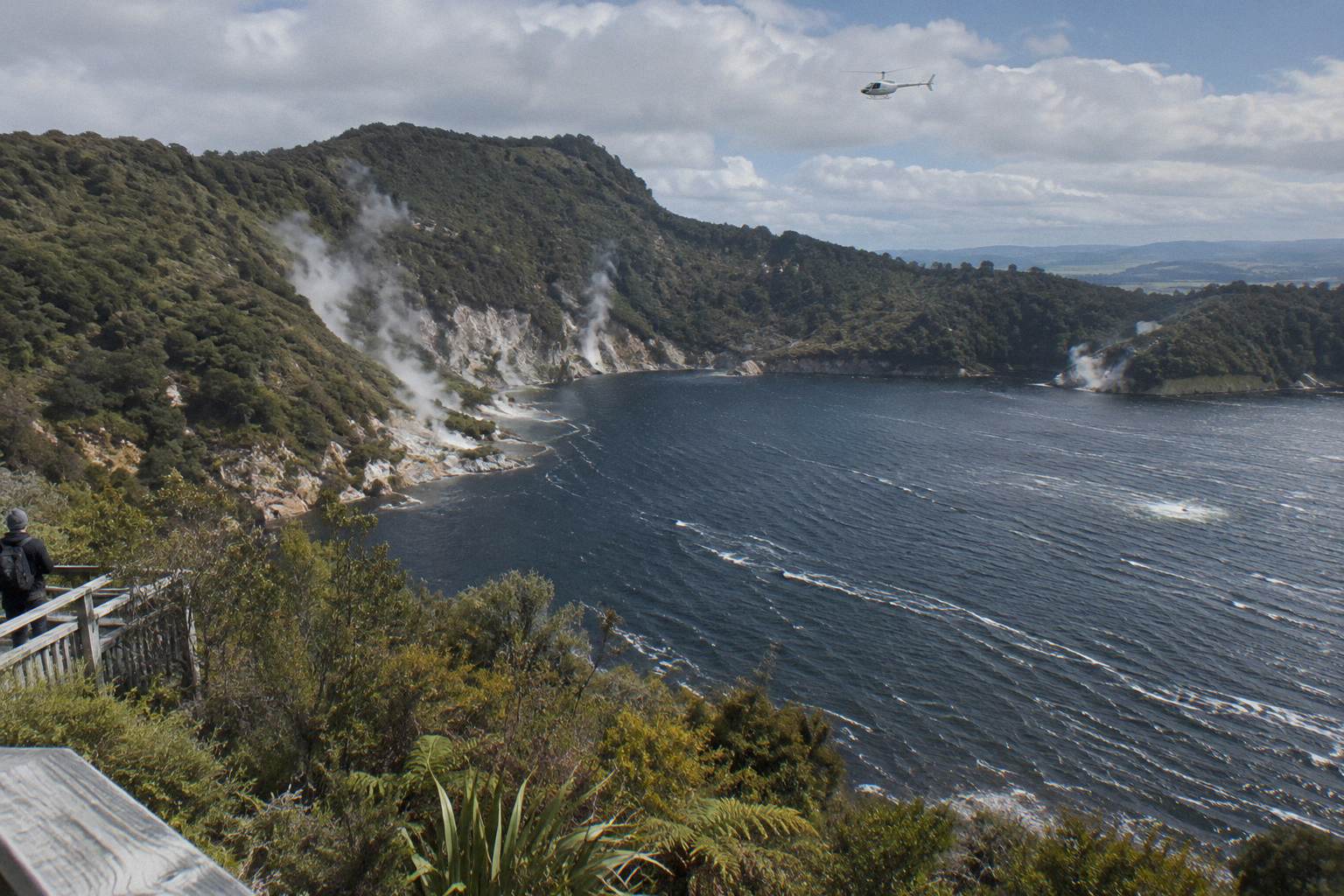
What the valley shows on foot is the same story continued. Waimangu calls itself the result of the 1886 eruption, the geothermal system having developed in the area the rift opened, and the walk from the entrance down the valley follows that line past hot springs and crater lakes toward Lake Rotomahana. Doing the flight first tends to work well: the aerial overview gives you the shape, and the walk gives you the smell, sound and steam of the same landscape at ground level.
A few practical points help you pick between the flight options. Helicopter and floatplane departures run from different bases, so check which aircraft your chosen trip uses before you set out, and note that flights are weather dependent, with conditions over the mountain changing quickly. If your flight is cancelled for weather, operators typically rebook you on the next available departure or refund the fare, so it pays to build a spare morning or afternoon into your itinerary around Rotorua.
Timing the flight against the valley walk also matters. The geothermal features in Waimangu are at their most visible early in the morning, when cool air makes the steam stand out against the valley walls, and the walking track from the entrance to Lake Rotomahana takes most visitors around two hours at a steady pace, longer if you take the side trails or wait for the Inferno Crater's water level to catch your eye. Fitting the flight in either the evening before or the morning of your walk gives you the aerial context while it is still fresh.
One last detail worth knowing before you book: the floatplane Waimangu trips and the helicopter volcano flights cover overlapping but not identical ground. If seeing the rift itself is your priority, confirm in the tour description that Tarawera's summit craters are on the route, since some shorter scenic flights stay closer to the lake and city.
How Do You Combine The Flight With A Valley Walk?
Fly first and walk second: take a morning floatplane from the Rotorua lakefront, then spend the whole afternoon on the valley tracks at Waimangu, which sits about 25 minutes from the city centre. Arrive 20 minutes before your floatplane departure, and never schedule a tight connection between a weather-dependent aircraft and a park with fixed closing hours.
The flight-before-walk order is not just logistics, it is comprehension. Seeing the 17 km line from the air first means that when you stand on the valley floor you already know where the ridge behind you ends up, what the lake at the bottom of the valley is connected to, and why the springs are where they are. Waimangu's own getting here directions confirm the road route and travel time, which is the fact your itinerary hangs on.
| Step | Where | Timing | Notes |
|---|---|---|---|
| Check in | Lakefront, 1 Lakefront Drive | 20 minutes before a floatplane, 30 before a helicopter | Full safety briefing on arrival |
| Flight | Lake Rotorua pier departure | 40 minutes or 2 hours depending on trip | All flights subject to suitable weather |
| Drive south | SH5 then Waimangu Road | About 25 minutes from the city centre | About 14 km plus 6 km |
| Valley walk | Waimangu Volcanic Valley | Allow at least the main track time | Bring closed-toe footwear |
If the day goes the other way, walk first, flight later, the afternoon flight has its own case: the operator notes afternoons can bring warmer temperatures and late-day colour, especially in winter, while mornings often give the calmest weather and smoothest flying. Because every flight is subject to suitable weather and safe flying conditions, and the operator will reschedule or fully refund if weather stops the flight, booking the flight early in your stay preserves a fallback day.
For a different combo shape, the one day Rotorua itinerary with a flight sequences the flight against the town's other anchor activities; Waimangu slots into that day in the same south-bound window as the Buried Village on Tarawera Road, which is close to the lake the flight crosses.
What About Landing Flights And Geothermal Combos Instead?
If you want a flight that actually lands, skip Waimangu and look at Mt Tarawera options instead. The Helicopter Landing, Guided Summit Walk trip runs 40 minutes total from NZ$675 per person, while the Geothermal Park Landing trip runs three hours from NZ$1,490 per person, landing at both the Tarawera summit and Orakei Korako. Pair either with a self-drive Waimangu walk for two distinct days of sightseeing.
The three-hour Geothermal Park Landing trip is the closest thing on the line-up to a combo in a single product, because it already chains a volcano landing with a geothermal park visit, and its second stop, Orakei Korako, is reached on foot after the aircraft sets down. The 40 minute summit-walk trip is the shorter version for readers whose main appetite is standing on Tarawera. Neither includes Waimangu, but both finish close enough to the city that the 25 minute drive south afterwards is undramatic.
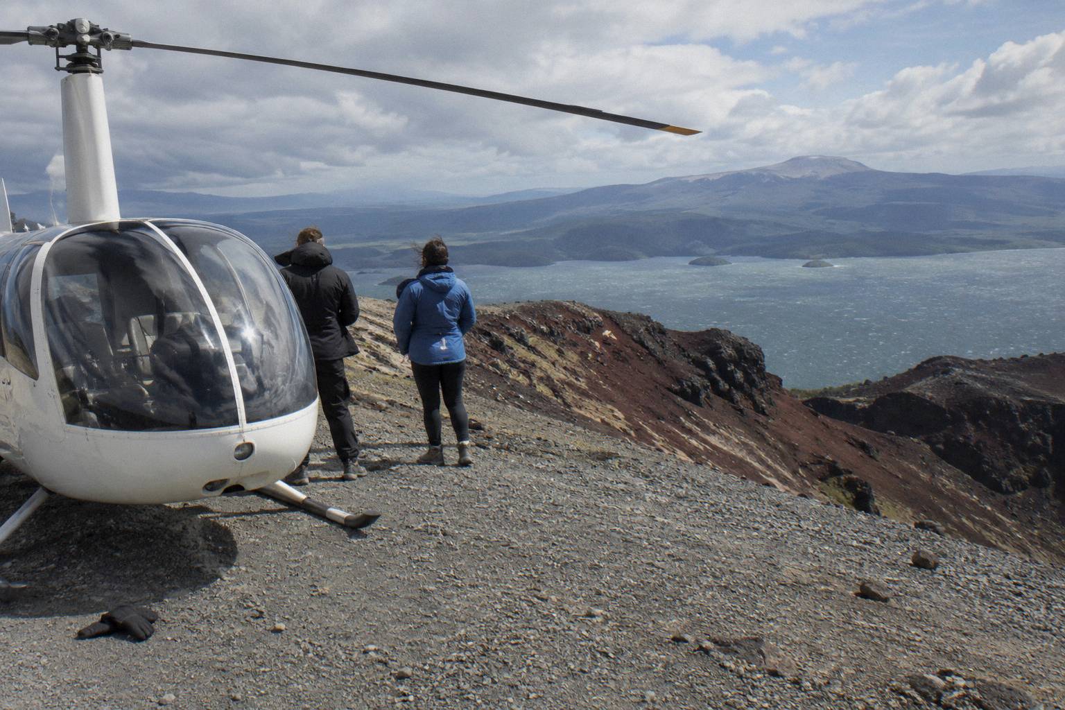
Every Tarawera landing carries the same caveat, and it belongs in your planning rather than in fine print you read later: the operator's own terms say excursion landings are undertaken at your own risk and are at the pilot's sole discretion, with tour duration, flight times and inclusions varying due to weather conditions, volcanic activity and passenger loadings. A landing is offered, never promised. The mountain's summit stands 1,111 m high on Ruawahia, the tallest of its three domes, and the conditions that make the view wide are the same conditions that can scrub the landing while keeping the flight.
What Do Weather, Weight And Booking Rules Mean For The Combo?
Weather governs the flight half of the day: all flights operate subject to suitable weather and safe flying conditions, and if the flight cannot go ahead the operator works with you to reschedule or provide a full refund. Weight governs the seat: individual weights are declared at booking and passengers are weighed on arrival, with a surcharge possible over 110 kg and two adult fares required over 135 kg. Bookings carry free cancellation up to 24 hours in advance.
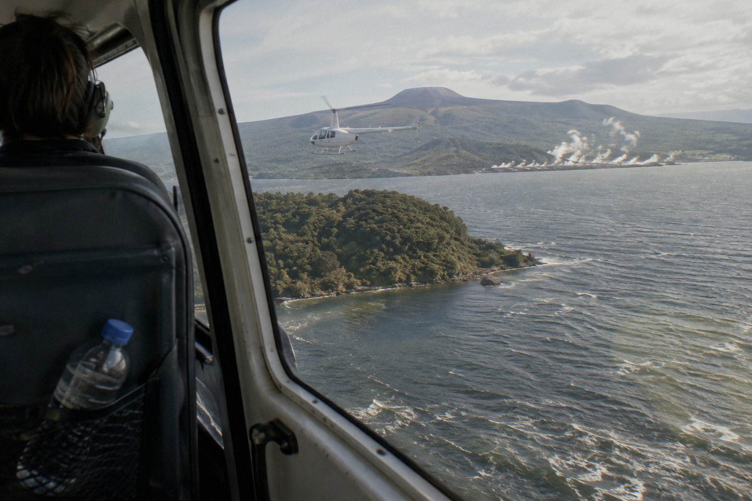
That 24 hour cancellation window is the load-bearing fact for combo planning, because it means you can hold a flight and a same-day valley walk with a late escape hatch. If the forecast turns, cancelling the flight more than 24 hours out costs nothing, and if the operator cancels for weather before the flight commences, terms clause 1.20 provides a full refund for circumstances beyond its control, including volcanic activity. The seasonal pattern helps too: Rotorua's driest and warmest weather runs from late spring in October until early autumn in April, with November the driest month in the 1991 to 2020 rainfall normals at 86.8 mm and July the wettest at 137.4 mm.
| Month | Rainfall mm (1991 to 2020 normals) |
|---|---|
| January | 93.8 |
| April | 133.0 |
| July | 137.4 |
| October | 92.9 |
| November | 86.8 |
The operator FAQ sets out what to bring, camera, sunglasses, a jacket, and closed-toe comfortable footwear for flights with landings, and the same footwear advice serves the valley walk. Children of all ages are welcome, with under 2s on a parent's or guardian's lap and child rates for ages 2 to 11; on the Tarawera landing flight specifically, two adult fares are the minimum and ages 2 to 11 pay 75 percent of the adult fare. Hotel pickup is not part of standard flights, direct pick-ups are offered only for bespoke charters, so assume you make your own way to the lakefront. For the full detail on what a scrubbed flight means for your money, see what happens when a Rotorua flight is cancelled for weather.
Common Mistakes When Planning A Waimangu Flight And Walk
The most common mistakes are assuming a flight with a Waimangu landing exists, buying a White Island scenic flight and expecting the valley in the route, scheduling the walk immediately after landing with no slack, and underestimating the drive. Each error stems from search terms and product descriptions that do not match word for word, so check the actual route before booking rather than after.
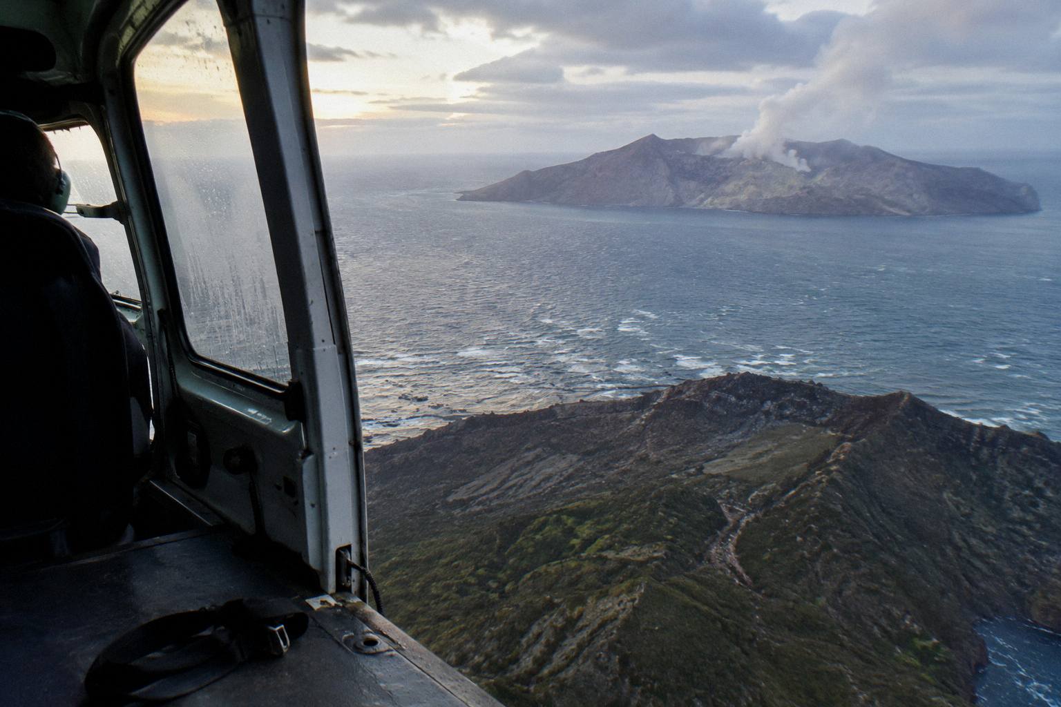
The first mistake is the landing assumption. Searching "waimangu helicopter flight" does not imply a landing any more than searching "White Island helicopter" does, where landings have been suspended and only flyovers operate. The second is route mismatch: the Floatplane, White Island And Tarawera trip and the Volcanic Extremes helicopter trip both cover spectacular volcano terrain without crossing Waimangu, so confirm the valley is named in the trip description before assuming the price includes it. The third is timing: a weather-delayed morning flight can push into the early afternoon, and a walk booked tight against it can be lost. The fourth is treating the 25 minute drive as a five minute hop; State Highway 5 plus Waimangu Road is real distance, and the valley deserves more than the last hour of daylight.
A fifth mistake, quieter than the others, is skipping the history before the flight. The valley is the surface expression of an event that killed more than 100 people on one night in 1886, and the aerial view of the rift line is the clearest single picture of how the eruption reshaped this district; the guide to the 1886 eruption seen from above fills in that background. Reading it before departure costs twenty minutes and changes what the window shows you.
Common Questions About Waimangu Flights And Walks
Can A Helicopter Land At Waimangu Volcanic Valley?
No. No flight on the line-up lands at Waimangu, and the valley is visited on foot from 587 Waimangu Road. The landings offered in the district are at the Mt Tarawera summit and Orakei Korako on the Waikato River.
Which Flights Fly Over Waimangu?
Two floatplane trips: the Floatplane, Waimangu Included trip, two hours total from NZ$1,230 per person, and the Scenic Floatplane, Tarawera And Waimangu trip, 40 minutes total from NZ$395 per person, rated 4.9 from 28 reviews.
How Far Is Waimangu Volcanic Valley From Rotorua?
About 25 minutes by road from the city centre: roughly 14 km south on State Highway 5, then about 6 km along Waimangu Road to number 587.
Can You Do The Flight And The Valley Walk On The Same Day?
Yes. Check in at the lakefront 20 minutes before a floatplane departure, fly in the morning, then drive south for the afternoon walk. Keeping a fallback day in your stay protects the plan if weather moves the flight.
What Happens If The Weather Cancels My Flight?
All flights operate subject to suitable weather and safe flying conditions. If the flight cannot go ahead, the operator works with you to reschedule or provide a full refund, and bookings carry free cancellation up to 24 hours in advance.
Is A Helicopter Or A Floatplane Better For Seeing Waimangu?
On this line-up the choice is made for you: both Waimangu-including trips are floatplane trips. Helicopters matter if you want a Tarawera summit landing, which no Waimangu-including flight offers.
The operator behind every flight here is Volcanic Air, and Rotorua Helicopter Tours covers its full line-up, from 15 minute crater lake loops to the three hour geothermal landing day, in the roundups linked across these pages.