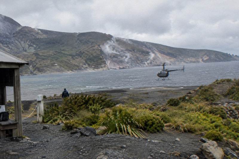
Can You Land On Mount Tarawera By Helicopter?
Yes, several Rotorua flights land on the Mt Tarawera summit, but only through authorised helicopter tours, and every landing is at the pilot's sole discretion. Here is how the landing works, which flights include it and what to know first.
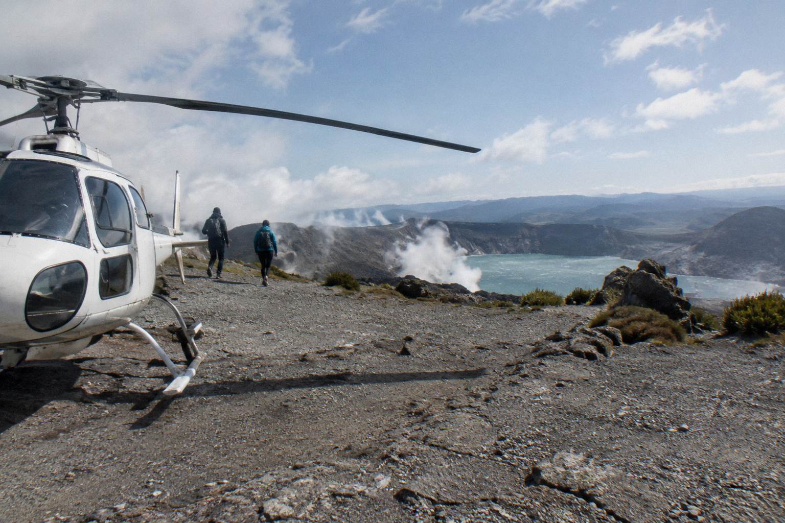
Yes, you can land on Mount Tarawera by helicopter, and a handful of Rotorua flights built around exactly that. There is one catch that matters more than any other detail: the mountain is privately governed Maori land, independent summit access is not permitted, and every landing, on every flight, is undertaken at the pilot's sole discretion. Weather and volcanic activity can change the plan on the day, so a landing is offered, never promised.
In short: Mount Tarawera rises 1,111 m above the lakes south of Rotorua, and its summit can only be reached through authorised guided tours or approved helicopter landings. Volcanic Air holds that approval and runs several Tarawera landing flights from the Lakefront base at 1 Lakefront Drive. The flight out crosses lakes Okareka, Okataina and Tarawera before the summit approach. A landing, when the pilot gives it, is typically paired with a short guided walk on the crater floor. For the wider picture of the mountain and its flight paths, the Mount Tarawera helicopter landing guide covers the full decision.
| Quick Fact | Detail |
|---|---|
| Can you land on the summit? | Yes, on authorised helicopter tours only |
| Independent summit access | Not permitted |
| Who decides on the day? | The pilot, at sole discretion |
| Operator base | Lakefront, 1 Lakefront Drive, Rotorua |
| Check-in | 30 minutes before helicopter flights |
| Flight crossing | Lakes Okareka, Okataina and Tarawera |
| Summit height | 1,111 m |
| Free cancellation | Up to 24 hours before, on the booking terms |
Yes, a helicopter landing on Mount Tarawera is possible and regularly flown, but it exists only inside authorised tours. The Ruawahia 2B Trust governs the mountain and reinvests most tourism concession revenue into conservation, and Volcanic Air operates as one of its approved concessionaires alongside Ngati Rangitihi. You cannot walk up on your own, charter an unapproved aircraft, or land anywhere you please: access is concession-controlled, and the flight must be one of the approved landing products.
That structure is the single most important thing to understand about the Tarawera landing. The mountain is not public conservation land in the ordinary tramping sense. Ngati Rangitihi hold kaitiakitanga, guardianship, of the maunga, and the Trust's concession system is how that guardianship is expressed in practice: revenue from tourism goes back into looking after the mountain, and access is limited to operators and guides who work within it. So the question is never really "can a helicopter land here" in a technical sense. It is "which flights carry landing permission, and does the pilot exercise it today."
The operator's own landing tour wording is specific about the second half of that. Tour duration, flight times and inclusions may vary due to weather conditions, volcanic activity and passenger loadings, and excursion landings are undertaken at your own risk, at the pilot's sole discretion. That is not a legal disclaimer buried in small print; it is the practical reality of putting an aircraft on a volcanic summit in a district where weather changes fast. A landing that is safe at 9am can be off the table by noon.
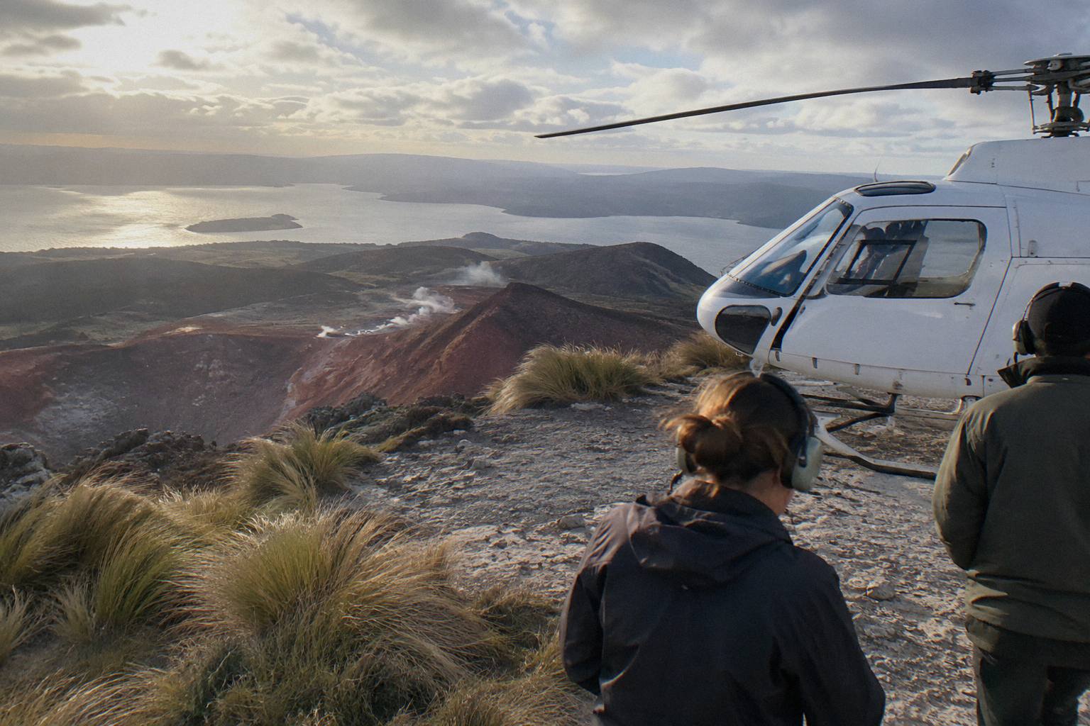
What you get when it does come together is unusual in New Zealand aviation: the aircraft sets down on the summit of the volcano that erupted on the night of 10 June 1886, and you step out onto rock that was thrown into that shape in a single night. The operator's Tarawera landing flight page describes the flight over the mountain's rift and craters followed by a landing and a guided summit walk. If the landing question is what brought you here, the natural starting point is the trip built around it:
All prices on this page are New Zealand dollars.
Which Flights Actually Include A Tarawera Landing?
Four helicopter trips in the current roster list a Mount Tarawera summit landing, and one more helicopter trip lands at both Tarawera and Orakei Korako. No floatplane lands on the mountain: the floatplane Tarawera products are flyovers, and the Orakei Korako floatplane lands on the Waikato River instead. So if landing on Tarawera itself is the goal, the choice is a helicopter one.
The comparison worth making is between the landing trips on length and ground time. The Mt Tarawera Helicopter Tour with Volcano Landing is the focused version: fly the summit, land when the pilot calls it, walk, fly home. It carries a 4.9 rating from 43 reviews, the largest review pool of any Tarawera landing trip on the roster. The Rotorua: Helicopter Flight and Guided Walk on Mt Tarawera runs about 40 minutes all up with the landing and guided summit walk, from NZ$675 per person. The Mount Tarawera Volcanic Adventure by Helicopter stretches the airborne time to about an hour, and the Volcanic Extremes helicopter trip bundles White Island flyover territory with a Tarawera landing across 1 hour 45 minutes.
| Trip | Aircraft | Tarawera landing | Flight or total time | Booking-page from-price |
|---|---|---|---|---|
| Helicopter Volcano Landing | Helicopter | Summit landing | Landing tour | Price on the live listing |
| Helicopter Landing, Guided Summit Walk | Helicopter | Summit landing, guided walk | 40 minutes total | From NZ$675 per person |
| One-Hour Volcanic Adventure | Helicopter | Summit landing | About 1 hour | Price on the live listing |
| Volcanic Extremes | Helicopter | Summit landing, White Island flyover | 1 hour 45 minutes | Price on the live listing |
| Geothermal Park Landing, 3 Hours | Helicopter | Tarawera and Orakei Korako | 3 hours | From NZ$1,490 per person |
Two things in that table deserve a second look. First, the dual-landing trips cost and occupy a full half day, because Orakei Korako sits between Taupo and Rotorua on the Waikato River, a genuinely different corner of the volcanic zone. Second, the floatplane rows are absent for a reason: every floatplane Tarawera product on the roster is a flyover, which makes the helicopter the only route to standing on the summit by air.
Why Can You Not Walk Up On Your Own?
Independent summit access on Mount Tarawera is not permitted, and that is a deliberate arrangement rather than a gap in tracks. The mountain is governed by the Ruawahia 2B Trust on behalf of Ngati Rangitihi, who hold kaitiakitanga of the maunga, and access runs through authorised guided tours or approved helicopter landings. The concession model funds conservation work on the mountain, with most tourism revenue reinvested there.
For a visitor, the practical effect is simple: there is no freedom-walking option, and any offer of a "self-guided summit hike" in the district should be treated with suspicion. Guided walks exist, some accessed by road via the Lake Tarawera end, and helicopter landings exist, but both operate inside the concession framework. The operator describes itself as a proud concessionaire working alongside the iwi, which is the arrangement that keeps both kinds of access open. If you are weighing a flight against walking up under your own steam, the piece on whether a helicopter flight beats a hike up Mount Tarawera works through that trade-off directly.
It also explains a quirk of the landing flights: the guided walk on the summit is not an optional extra bolted on for tourism value. Having a guide with you on the mountain is part of how access is managed, and the walk is built into the landing products rather than sold separately. The exact landing spot is not published in advance; the aircraft puts down where conditions and permissions line up on the day.
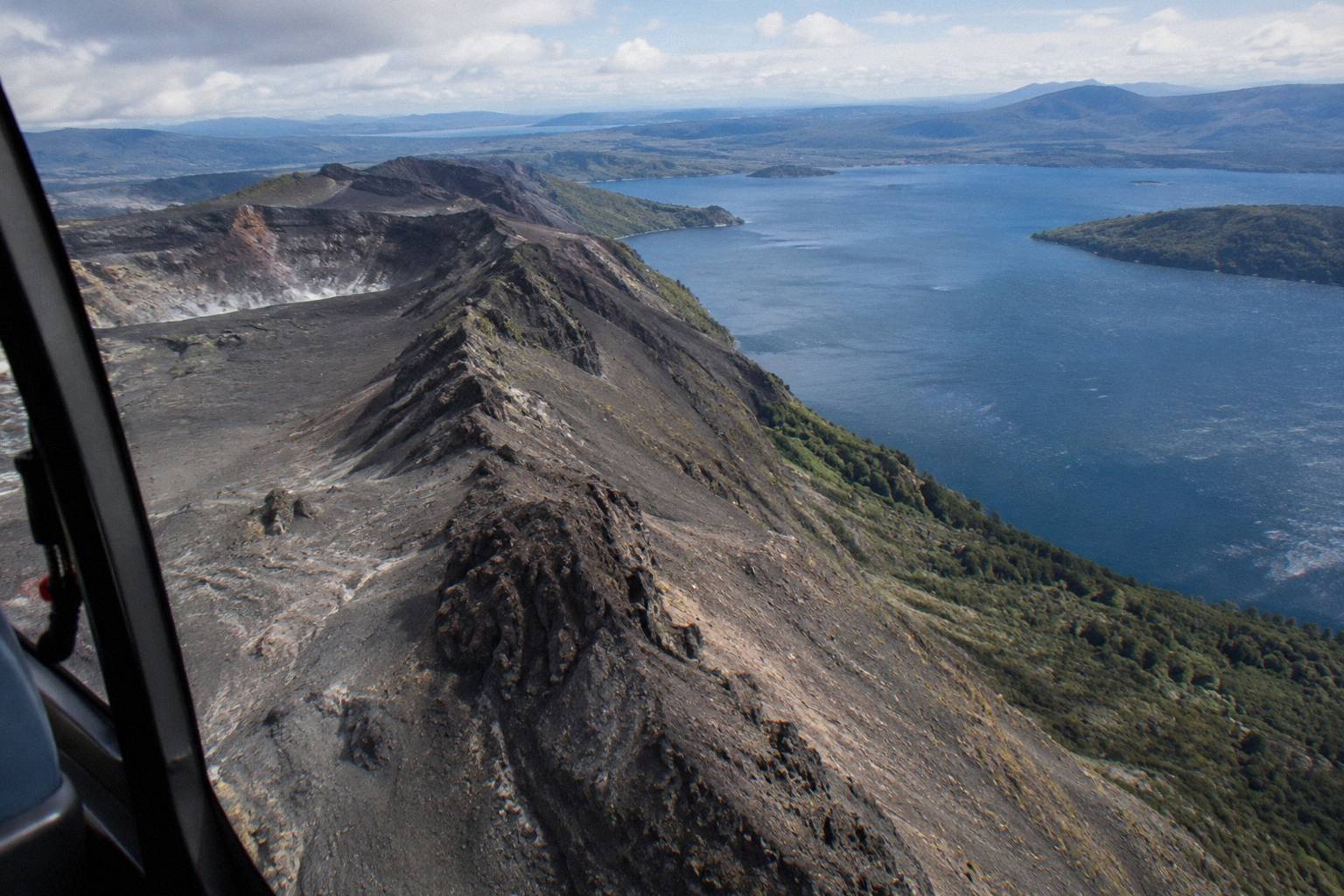
The thing you are standing on, briefly, deserves context. According to the GNS Science Tarawera fact sheet, the 1886 eruption opened a 17 km rift across the mountain top, through Lake Rotomahana and into the Waimangu Valley area, and more than 100 people were killed in villages near the mountain. The operator's flight wording, by contrast, describes flying the 8 km of rift over the mountain itself: the two figures describe different spans of the same event, one the full fissure, one the summit section you actually cross in the aircraft. NZ History's account of the Tarawera eruption records the destruction of Te Wairoa, the village now known as the Buried Village, and the burial of the silica hot springs called the Pink and White Terraces.
What Is The Landing And Summit Walk Actually Like?
The pattern on the landing flights is consistent: the helicopter crosses the lakes district, climbs to the summit area, overflies the rift and craters, then sets down on the summit for a short guided walk, around 15 minutes on the operator's landing tour wording. Passengers step out onto volcanic rock with the pilot and guide, then fly out. Total ground time is deliberately short, partly for aircraft logistics and partly because the summit is an exposed, wind-scraped place.
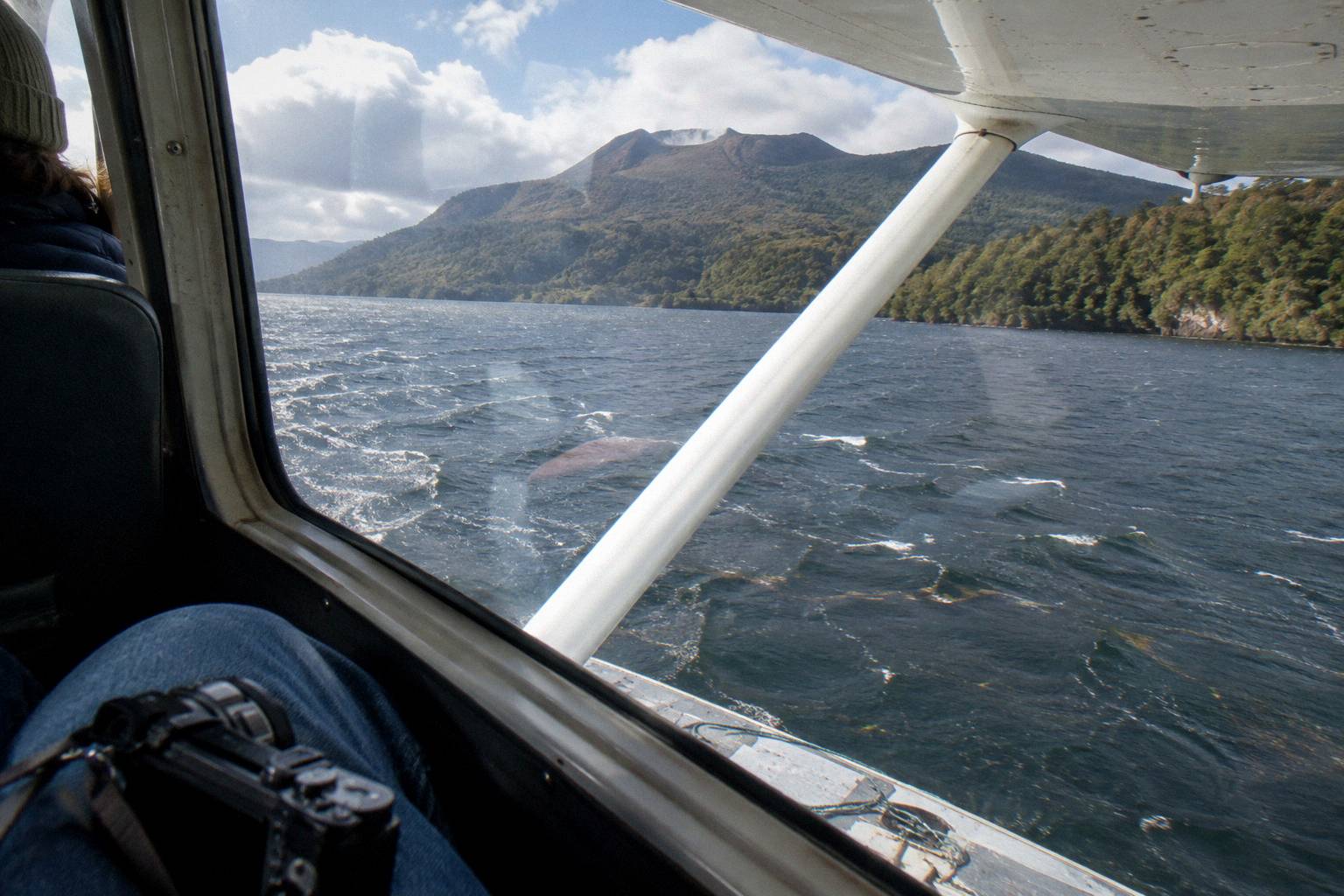
There are no boardwalks, no handrails and no steaming vents to stand beside; the summit is bare rock, and the drama is the scale of the rift and the drop to Lake Tarawera on one side and the smaller lakes on the other. Footwear matters more than most people expect, and the operator's FAQ is explicit: closed-toe comfortable footwear for flights with landings, plus camera, sunglasses and a jacket. The summit is 1,111 m high and the wind up there does not negotiate.
Photography from the ground is a different exercise from photography through a window. On the walk you can shoot the helicopter itself on the crater, the rift running away from you and the lakes below, without glass in the way. Anyone serious about images may want the helicopter flight photography pointers before choosing a seat or a time of day. The FAQ notes that mornings often give the calmest weather and smoothest flying with soft photo light, while afternoons can bring warmer temperatures and late-day colour, especially in winter.
The one-hour Mount Tarawera Volcanic Adventure by Helicopter gives the landing a wider frame, spending more time over the mountain and the lakes before the descent. For readers deciding between it and the shorter 40 minute flight-and-walk version, the honest difference is air time over the volcanic landscape: the landing and walk component is broadly the same idea in both.
The weight rules matter on landing flights more than on short scenic hops, because the aircraft has to lift off from altitude with full payload. Individual weights are declared at booking and passengers are weighed on arrival so the aircraft stays within balance limits; the One-Hour Volcanic Adventure listing carries a 110 kg per passenger figure and a maximum of 6 travellers. Over 110 kg a surcharge may apply at the operator's sole discretion, and over 135 kg as weighed requires two adult fares.
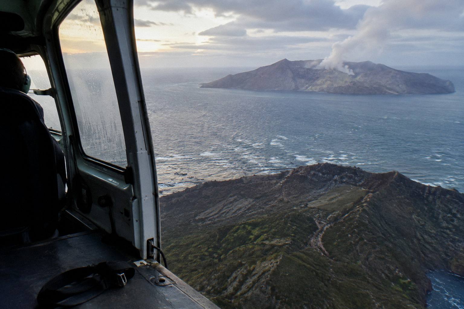
What If Weather Cancels The Landing?
If weather or volcanic activity prevents the flight, the operator works with you to reschedule or provide a full refund, and if the operator cancels before commencement for circumstances beyond its control the refund is full. If the flight runs but the landing itself is judged unsafe, the pilot's decision stands: excursion landings are at your own risk and at the pilot's sole discretion. Booked on the standard terms, cancellation is free up to 24 hours before the flight.
Rotorua's weather is the variable that shapes everything here. The region operates flights all year in daylight hours, and the driest, warmest stretch runs from late spring in October to early autumn in April, though a Tarawera flight can be brilliant on a crisp winter morning too. Monthly rainfall normals for Rotorua sit between 86.8 mm in November and 137.4 mm in July, which is a modest spread by New Zealand standards but enough that cloud sitting on the summit is a real, common possibility at any time of year. One listing in the roster puts it bluntly: the tour is weather dependent and will not go ahead if it is not safe or if the views cannot be seen.
| Scenario | What happens |
|---|---|
| Weather unsafe for the whole flight | Operator reschedules or refunds in full |
| Flight runs, landing judged unsafe | Pilot's sole discretion; landing may be skipped |
| You cancel more than 24 hours out | Full refund on the booking terms |
| Weight over 110 kg as weighed | Surchcharge may apply at operator discretion |
| Weight over 135 kg as weighed | Two adult fares required |
The smart response is to leave slack in your itinerary. A visitor with one fixed day in Rotorua and one flight booked at the only available hour has no margin for a clouded summit; a visitor with two or three mornings in town can take a reschedule in stride. The deeper dive on how Rotorua helicopter weather calls work and the post on what happens when a flight is cancelled for weather cover the mechanics, including what a cancelled flight means for your refund and your plans.
How The 1886 Eruption Shaped What You Land On
Everything visible from the summit landing comes from the night of 10 June 1886, when Tarawera erupted and opened the rift the flight crosses. The explosion buried Te Wairoa village and the famous Pink and White Terraces, killed more than 100 people in villages near the mountain, and rearranged the lakes district below, including Lake Rotomahana, which grew dramatically after the eruption. Waimangu Volcanic Valley, further along the rift line, exists because of the same event.
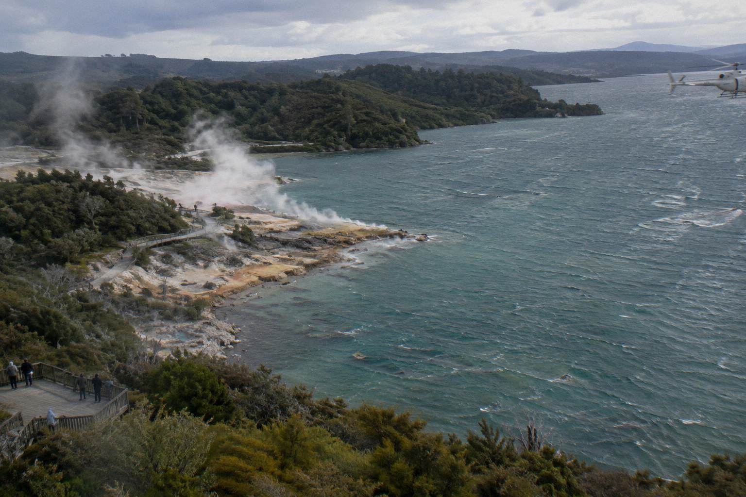
Standing on the summit you are standing on the top of that rift. The GNS fact sheet describes three lava domes along the mountain, Ruawahia, Tarawera and Wahanga, with Ruawahia the highest, and the landing flights put you among them. The rock underfoot is rhyolite from earlier eruptive phases and rubble from 1886; the craters you look into were blown open in a single night. Sources differ on the eruption's exact timing and on the precise death toll, which is why careful accounts stick to the date and "more than 100" lives lost.
The terraces are the part that still draws people. The White Terraces were largely destroyed, and GNS notes that remnants of the Pink Terraces may lie at the bottom of Lake Rotomahana. Nothing of them is visible from the air, but the lake itself is: it sits directly along the rift line south of the mountain, and flights out of the summit often cross it or its neighbours. Rotokakahi, the Green Lake, and Tikitapu, the Blue Lake, sit closer to Rotorua and turn up on the crater lakes routes.
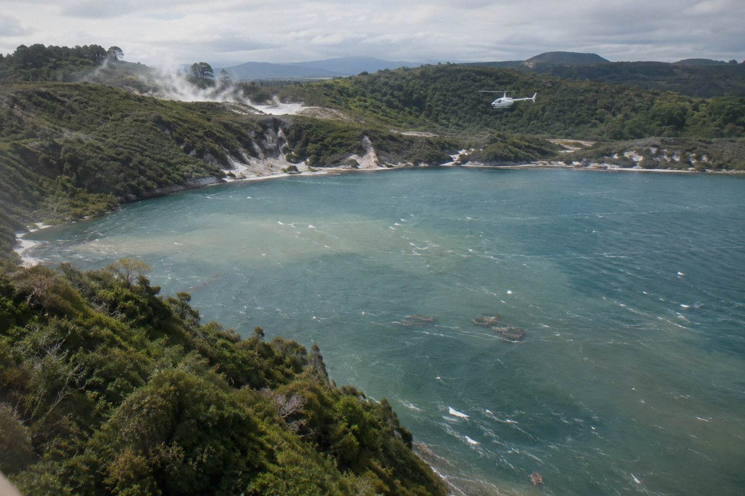
If the geological story is what pulled you toward the flight in the first place, two longer reads are worth your time: the Mount Tarawera 1886 eruption seen from above and the Pink and White Terraces helicopter guide, which tackles what can and cannot be seen of the buried springs. For the lake district itself, DOC's page on the Lake Tarawera Scenic Reserve covers the ground-level story of the lake and Rotomahana.
Mistakes To Avoid When Booking A Tarawera Landing
The common mistakes are booking a flyover when you wanted a landing, treating the landing as guaranteed, arriving at the wrong check-in time, and underdeclaring weight. Floatplane Tarawera flights do not land on the mountain; helicopter check-in is 30 minutes before departure at the Lakefront office; weights are checked on arrival. Booking your only morning in town with no room to reschedule is the quiet mistake that costs the most.
The first one catches people because the roster is full of Tarawera products and only some land. The Scenic Flight over Mt Tarawera and Waimangu Valley, from NZ$395 per person with a 4.9 rating from 28 reviews, is a superb 30 minute floatplane flyover, and the Tarawera Volcano Floatplane Tour is the same idea in helicopter-adjacent form, but neither puts a foot on the summit. If the summit is the point, confirm the trip lists a Mount Tarawera landing before anything else.
The logistics mistakes are smaller but annoying. Both helicopters and floatplanes leave from the Lakefront at 1 Lakefront Drive, under a kilometre from the town centre, but helicopters check in 30 minutes prior and floatplanes 20 minutes, and the full safety briefing happens at the office before you walk to the aircraft. Hotel pickup is not part of standard flights; it exists only for bespoke charters. Children of all ages are welcome, with under 2s on a lap and child rates for ages 2 to 11, though on the Tarawera landing flights the minimum booking is 2 adult fares.
The expectation mistakes are the ones that leave people disappointed rather than delayed. A landing is offered to you only if the pilot calls it safe, and the operator's terms say plainly that excursion landings are undertaken at your own risk. Nobody can promise you steaming craters, a still lake or a calm summit; what the trip can promise is a carefully run flight over one of New Zealand's most dramatic volcanic landscapes by an operator flying in the region since 1992. Take that framing and a good day becomes excellent, and a weathered day becomes a refund rather than a grievance.
Common Questions About The Tarawera Landing
Can You Land On Mount Tarawera By Helicopter?
Yes, on authorised helicopter tours operated under a concession from the Ruawahia 2B Trust, which governs the mountain alongside Ngati Rangitihi. Several Rotorua helicopter trips include a summit landing with a short guided walk, and every landing is flown at the pilot's sole discretion.
Can You Walk Up Mount Tarawera Without A Tour?
No. Independent summit access is not permitted. Access is through authorised guided tours or approved helicopter landings, and the concession revenue largely funds conservation work on the mountain.
Is The Landing Guaranteed On A Tarawera Flight?
No. The operator's terms state that tour duration, flight times and inclusions may vary due to weather conditions, volcanic activity and passenger loadings, and that excursion landings are undertaken at your own risk at the pilot's sole discretion.
How Long Do You Spend On The Summit?
The operator's landing tour wording describes a 15 minute guided walk on the summit as part of the flight. Total trip time depends on the product, from about 40 minutes on the flight-and-walk version to 1 hour 45 minutes on the Volcanic Extremes trip.
Do Floatplane Tours Land On Mount Tarawera?
No. The floatplane Tarawera products are flyovers. The floatplane landing trips in the roster touch down at Orakei Korako on the Waikato River, not on the volcano itself.
What Happens If The Flight Is Cancelled For Weather?
All flights operate subject to suitable weather and safe flying conditions. If your flight cannot go ahead due to weather, the operator works with you to reschedule or provide a full refund, and cancellation on the booking terms is free up to 24 hours in advance.
If the summit landing is the experience you came for, Rotorua Helicopter Tours keeps the full roster of Tarawera flights, flyovers and dual-landing trips in one place, each with its live availability.