Is A Helicopter Flight Better Than Hiking Mount Tarawera?
A decision guide comparing a Mount Tarawera helicopter landing with walking the volcano, covering access rules, the 1886 eruption, flight options and what each route actually delivers.
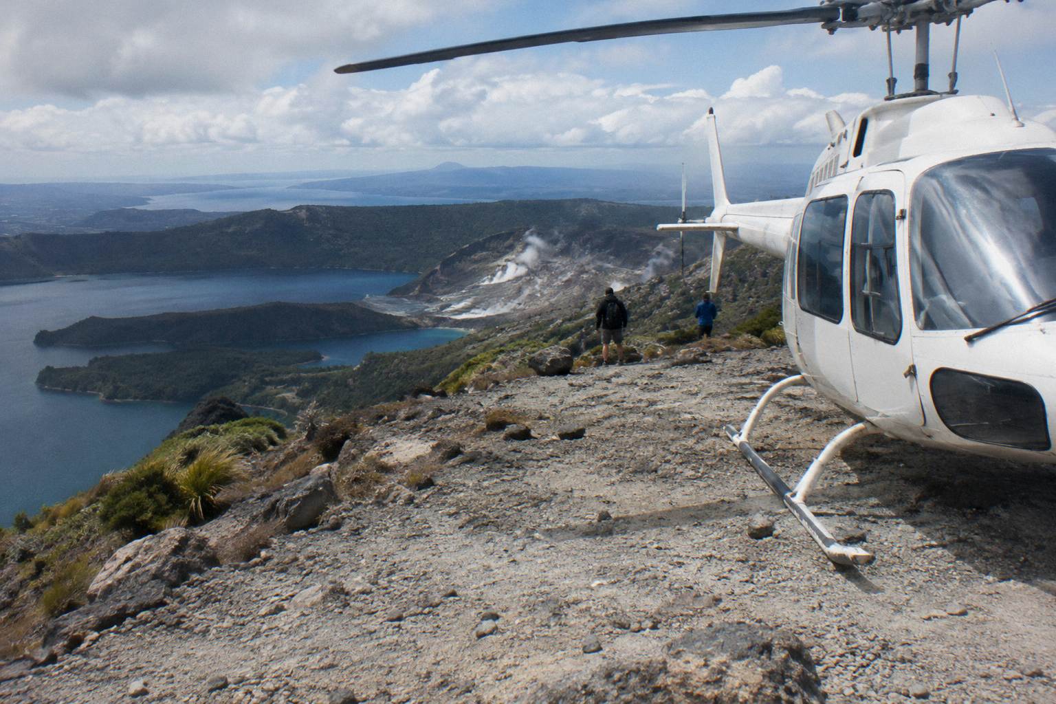
In short: There is no independent hike to the top of Mount Tarawera. Summit access runs through authorised guided walks or approved helicopter landings, so the real comparison is between a guided day on the mountain and a flight that lands you near the summit in minutes. Both routes stand on a volcano that erupted on the night of 10 June 1886, and both depend on weather on the day.
For a wider view of the flights available from the Lakefront base, see the Rotorua scenic flights overview, and the questions around how long a Rotorua helicopter flight takes matter here too, because flight time is the main thing a helicopter buys you.
| Quick Facts | |
|---|---|
| Summit height | 1,111 m |
| Independent summit access | Not permitted; guided tours or approved helicopter landings only |
| Eruption | Night of 10 June 1886 |
| Rift | 17 km long per GNS; the operator's flight wording covers 8 km over the mountain |
| Check-in | Lakefront office, helicopters 30 minutes prior, floatplanes 20 minutes |
| Landing guarantee | None; landings at the pilot's sole discretion |
For most visitors with limited time, a helicopter flight is the stronger choice, because the mountain's summit is not open to independent walkers and a flight compresses the whole ascent into minutes. A guided walk delivers more time on the ground and a slower read of the landscape. Neither route guarantees a landing or summit time; weather, volcanic activity and the pilot's judgement decide what actually happens on the day.
The question sounds like a simple preference test, but it rests on a fact many visitors do not know. Mount Tarawera is privately governed land: the Ruawahia 2B Trust governs the mountain, and Ngati Rangitihi hold kaitiakitanga, guardianship, of the maunga. The trust reinvests most tourism concession revenue in conservation, and operators work as concessionaires alongside the iwi. That structure is why there is no public tramping track to the summit in the way there is, say, to other Volcanic Plateau peaks.
So the honest version of the comparison is not "helicopter versus boots." It is "flight with a landing" versus "guided ground tour," and both are paid, concession-based products. One honest comparison point that favors the helicopter strongly: every flight from the roster leaves from one place, the Lakefront at 1 Lakefront Drive, under 1 km from the Rotorua town centre, with check-in 30 minutes before a helicopter departure.
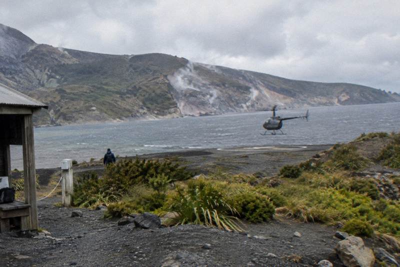
The three flights most relevant to the flight-versus-walk decision are the ones built around the mountain itself. The Helicopter Landing, Guided Summit Walk runs about 40 minutes total with a summit landing, from NZ$675 per person, with free cancellation up to 24 hours in advance. The Helicopter Volcano Landing is the same landing concept at a 4.9 rating from 43 reviews. The One-Hour Volcanic Adventure stretches the air time out over the same landscape.
Can You Hike Mount Tarawera On Your Own?
No. Independent summit access to Mount Tarawera is not permitted; local tourism information describes access as available only through authorised guided tours or approved helicopter landings. A visitor cannot simply park at Lake Tarawera and walk to the top. That single fact shifts the comparison away from cost-per-effort and toward which authorised route suits your time, budget and comfort with flying.
The access arrangement exists because the mountain is a taonga under Ngati Rangitihi guardianship rather than a conservation park with an open track network. The Ruawahia 2B Trust governs the mountain and licenses a small number of concessionaires; the trust's stated approach puts most tourism revenue back into conservation work on the maunga. Helicopter landings are one of the approved access routes, which is why the landing flights occupy their own niche rather than being a luxury shortcut over a public track.
This is also why the guided-walk product the operator sells is itself a hybrid. The Helicopter Landing, Guided Summit Walk flies you up, lands near the summit and gives you a 15 minute guided walk on the crater terrain, per the operator's tour wording. It is, in effect, a guided summit experience delivered by air, priced from NZ$675 per person. If what you wanted from "hiking" was time on foot at the top, this is the product that delivers it without an all-day ground commitment.
Everything about the landing is conditional, and the operator says so plainly on its Mt Tarawera landing flight page: tour duration, flight times and inclusions may vary due to weather conditions, volcanic activity and passenger loadings, and excursion landings are undertaken at your own risk at the pilot's sole discretion. A landing is therefore never guaranteed. The same page's flight description covers 8 km of rift over the mountain, a different span from the 17 km rift GNS Science describes for the whole 1886 rupture line.
What The Helicopter Landing Actually Gets You
A Tarawera landing flight buys three things a ground day cannot: an aerial read of the 8 km of rift across the mountain top, a landing near the 1,111 m summit that would otherwise take hours to reach, and a total time commitment measured in minutes rather than a full day. The trade-off is time on the mountain, typically a short guided walk rather than hours of exploration, all subject to the pilot's call.
The view from above is the part no walking route reproduces. From the air, the three lava domes that form the mountain, Ruawahia, Tarawera and Wahanga, read as one connected story, and Ruawahia is the highest of the three. The flight path to the mountain crosses lakes Okareka, Okataina and Tarawera, so the approach alone stacks up water, bush and volcanic terrain before the summit ridge appears. GNS Science's Tarawera fact sheet describes the 17 km rift running across the mountain top, through Lake Rotomahana and into the Waimangu Valley area, and from a helicopter window that geometry is visible in a way it simply is not from the ground.
Time is the second purchase. The Helicopter Landing, Guided Summit Walk is about 40 minutes end to end with the landing included. Even the longer One-Hour Volcanic Adventure, which spends roughly an hour in the air, returns you to the Lakefront inside a morning. A ground-based guided experience on the mountain is a day-scale commitment by any measure, and visitors pairing a flight with other Rotorua plans usually find the air route easier to slot into an itinerary, as the one day Rotorua itinerary with a flight shows.
The third purchase is exclusivity of a particular kind. Because summit access is concession-controlled, standing on Tarawera at all is something relatively few visitors to Rotorua do. The helicopter routes are the shortest path to that, and the operator describes the landing as a 15 minute guided walk on the summit. That walk is guided for the same access reasons that close the mountain to independent walkers, so even the air product keeps a foot in the guided-tour world.
How The Two Options Compare On Time, Cost And Weather
On time, the helicopter wins decisively: the landing flight is a 40 minute product versus a day-scale guided ground experience. On cost per hour, the ground route can feel like better value if a long visit matters most. On weather, the flight is the more fragile booking: it will not go ahead if conditions are unsafe or the views cannot be seen, though rescheduling or a full refund applies when weather stops a flight.
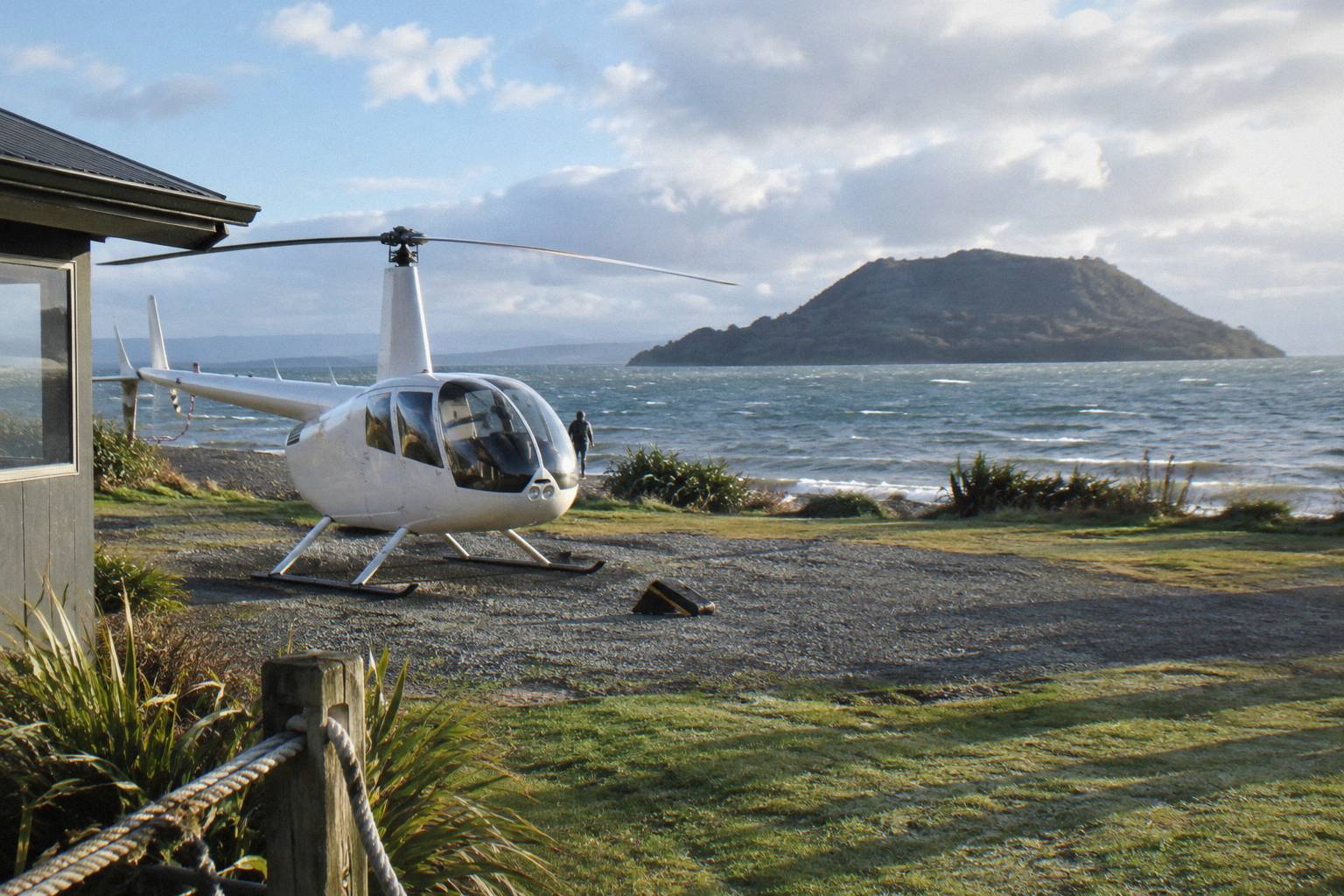
Weather deserves its own weight in the decision. The operator's FAQ states that all flights operate subject to suitable weather and safe flying conditions, and that if a flight cannot go ahead due to weather, the operator works with guests to reschedule or provide a full refund. The booking listing for the scenic Tarawera and Waimangu flight puts it more bluntly: the tour is weather dependent and will not go ahead if it is not safe to do so, or if the views cannot be seen. Rotorua's climate is moderate rather than severe, and the driest, warmest stretch runs from late spring in October to early autumn in April, per Rotorua's official tourism FAQ, but rain is possible in every month of the year.
The money comparison is only partly knowable, and one scope gap belongs here, stated once: verified, comparable facts about guided walking products on Tarawera, their durations and their prices, do not exist in the sourced material behind this comparison, so the table below compares using the helicopter roster's own printed figures and the access facts. The printable prices are booking-page from-prices in New Zealand dollars, each tied to its own trip.
| Route | What it involves | Time | Printable price |
|---|---|---|---|
| Helicopter Landing, Guided Summit Walk | Flight over the rift, summit landing, 15 minute guided walk | About 40 minutes total | From NZ$675 per person |
| Helicopter Volcano Landing | Flight and summit landing | Flight-scale | Rating 4.9 from 43 reviews |
| One-Hour Volcanic Adventure | Extended air time over the volcanic landscape | About 1 hour in the air | No price printed on the listing |
| Geothermal Park Landing, 3 Hours | Tarawera summit landing plus Orakei Korako | 3 hours total | From NZ$1,490 per person |
| Guided ground route | Authorised guided access only; independent hiking not permitted | Day-scale | No verified figure to print |
The seasonal picture can be weighed month by month, using Rotorua's 1991 to 2020 rainfall normals, charted from NIWA data by figure.nz. No month is dry, which is why weather flexibility matters more than picking a "safe" month, but the spread between the wettest and driest months is real.
| Month | Rainfall mm |
|---|---|
| January | 93.8 |
| February | 100.4 |
| March | 100.3 |
| April | 133.0 |
| May | 130.2 |
| June | 131.9 |
| July | 137.4 |
| August | 125.2 |
| September | 106.6 |
| October | 92.9 |
| November | 86.8 |
| December | 117.1 |
One further angle: readers weighing a longer air experience against a quick summit touch can look at the Mt Tarawera helicopter price guide for the full price ladder across the roster, and the Mount Tarawera 1886 eruption viewed from above for the history-first framing.
Why The 1886 Eruption Shapes The Whole Decision
The mountain you would fly over or walk on is the site of the 1886 eruption. On the night of 10 June 1886 Tarawera split open along a rift GNS Science measures at 17 km, destroying the Pink and White Terraces and killing more than 100 people in nearby villages. That history is why the landscape looks as it does, why the summit is treated with care rather than opened to trampers, and why both access routes are guided.
The eruption buried the famous silica hot springs known as the Pink and White Terraces, as NZ History records, and GNS notes that while the White Terraces were largely destroyed, remnants of the Pink Terraces may lie at the bottom of Lake Rotomahana. The lake itself changed in the eruption: sources disagree on the multiple, DOC says twenty times the original size and GNS says five, so no single figure is printed here. What is not disputed is that the modern landscape, the rift, the enlarged lake, and the geothermal system that later surfaced at Waimangu, all date to that one night.
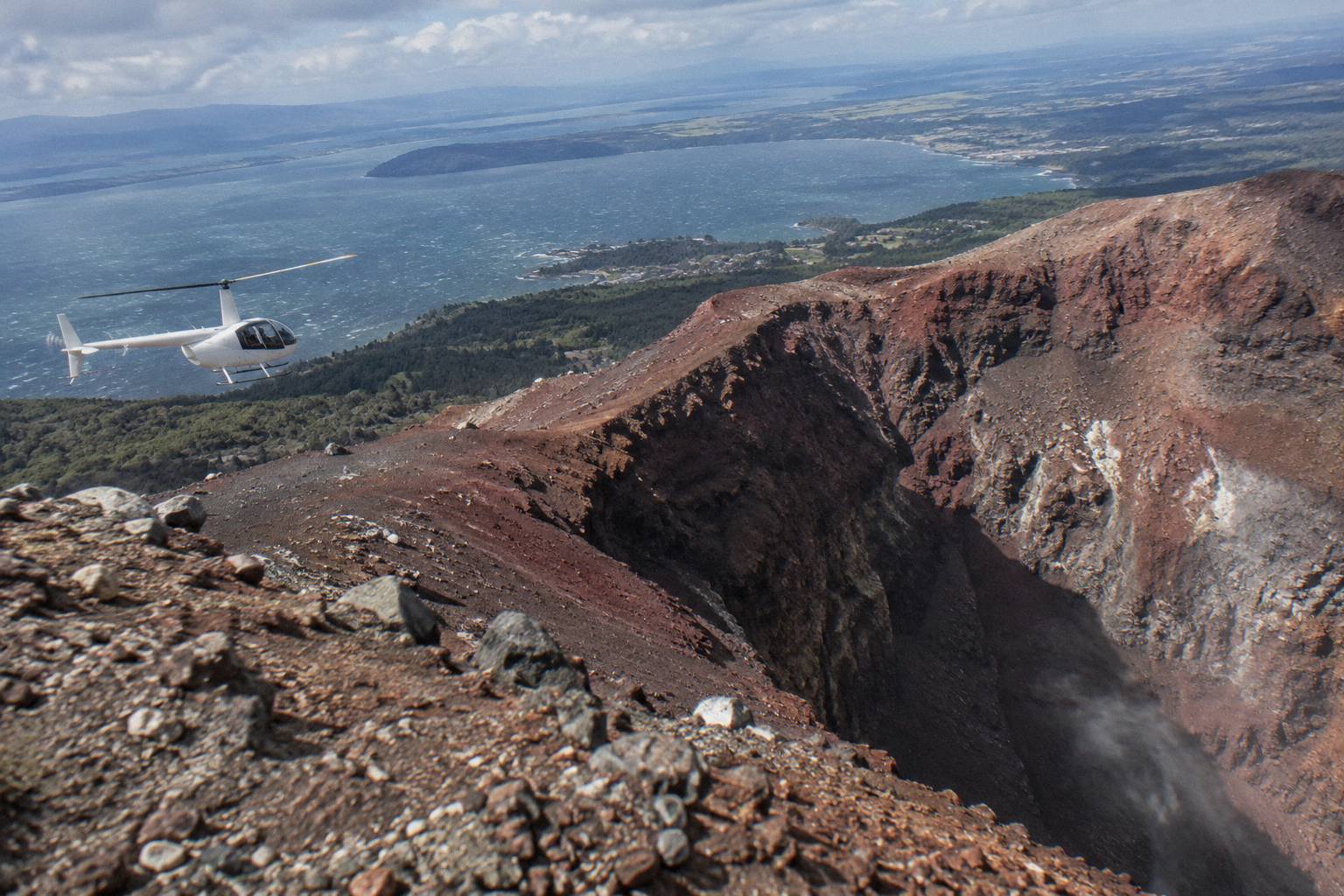
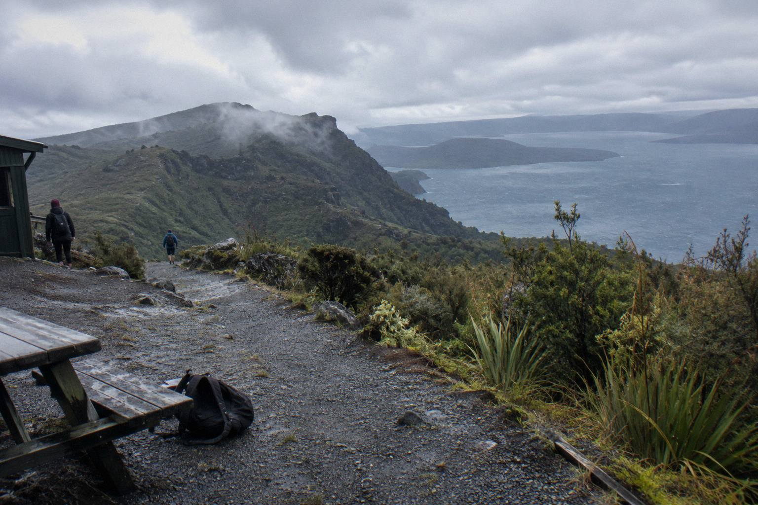
For the flight-versus-hike question, the eruption legacy matters in a practical way: the terrain is broken, unstable crater rock, not a formed track. Walking it is a guided proposition for safety and for respect of the site alike. From the air, the whole rupture geometry reads at once: the domes, the rift across the summit, Lake Rotomahana in the rift's path, and the Waimangu Volcanic Valley beyond it, whose own geothermal system, per Waimangu's page, is the result of the 1886 eruption. NZ History's account of the eruption and Te Ara's volcanic history both describe the rift and the destruction of Te Wairoa, the village now known as the Buried Village.
Readers who want the aerial version of that story without the landing can also consider the floatplane flyover products, such as the Scenic Floatplane, Tarawera And Waimangu at 30 minutes of flight time from NZ$395 per person, rated 4.9 from 28 reviews. It crosses the same landscape but touches nothing down, which suits visitors whose real interest is the eruption's geography rather than standing on it.
What About Photography And The Summit Experience?
Photographically, the helicopter route wins on geometry: you photograph the rift, the lakes and the domes from above, then the crater floor from on it, all within one product. A ground-only route gives you time and intimacy but never the aerial frame. The trade-off is window real estate and motion; a 15 minute summit window is short, and seat position on a shared flight is not chosen by the passenger.
Morning flights often give the calmest weather, the smoothest flying and soft photo light, per the operator's FAQ, while afternoon flights can offer warmer temperatures and late-day colour, especially in winter. There is no single best time; it depends on the day's weather, and the operator reschedules when conditions do not suit. Visitors serious about camera work can dig into the helicopter flight photography guide for technique, and the what to wear on a helicopter flight notes matter here too: the operator asks for closed-toe comfortable footwear on flights with landings, plus camera, sunglasses and a jacket.
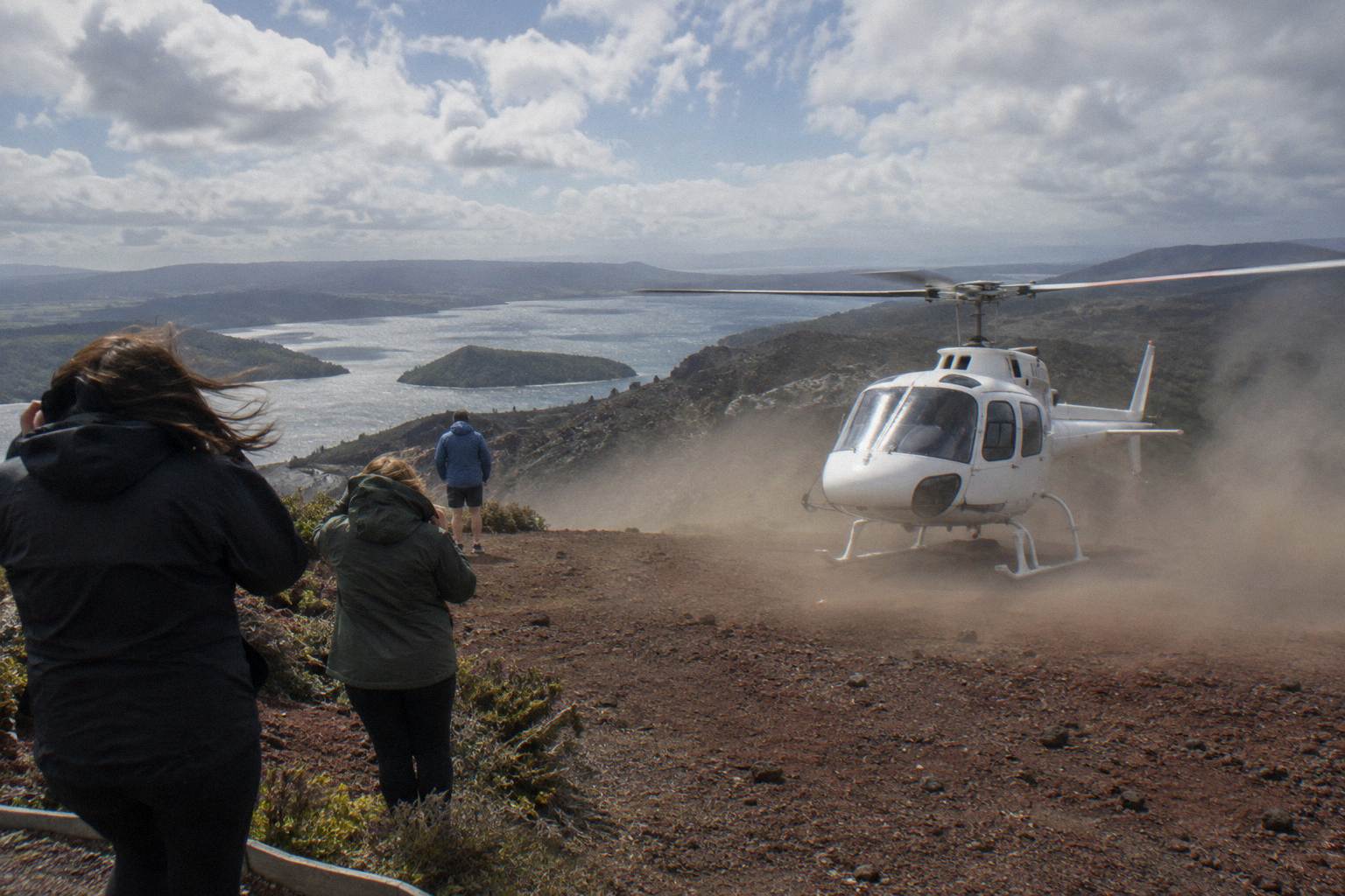
The summit experience itself is brief by design. The operator's wording for the landing tour is a 15 minute guided walk at the summit, within a roughly 40 minute product for the guided-walk version. Visitors who imagine an hour of solitary crater wandering will need to adjust expectations, or look at the One-Hour Volcanic Adventure, which trades summit time for air time over the wider volcanic landscape. Some questions about the seat you get and what you can carry, covered in whether you can sit in the front seat of a Rotorua helicopter, also affect the photography outcome.
Mistakes People Make Choosing Between The Two
The most common mistake is assuming Mount Tarawera has an open walking track, when summit access is concession-controlled and independent access is not permitted. The second is treating a landing as certain; it is always at the pilot's sole discretion and subject to weather and volcanic activity. The third is comparing prices without accounting for time: a 40 minute flight product and a day-scale guided experience are different purchases, not rival versions of the same thing.
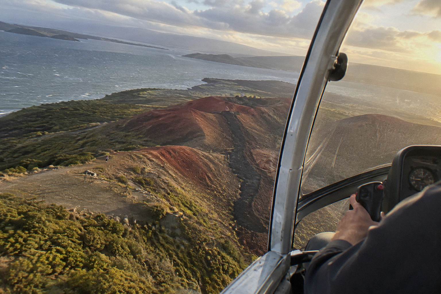
A fourth mistake is under-declaring weight. Every passenger declares individual weight at booking and is weighed on arrival so the aircraft stays within balance limits; a deviation from the declared weight can mean a rescheduled flight, a surcharge, or a cancelled booking at the operator's sole discretion. The Rotorua helicopter flight weight limits guide covers the thresholds, including the two-adult-fare requirement above 135 kg as weighed.
| Practical detail | Flight route | Ground route |
|---|---|---|
| Getting to the start | Lakefront base, 1 Lakefront Drive, under 1 km from the town centre | Road travel to the mountain area, then authorised access only |
| Check-in or start time | 30 minutes before a helicopter departure | Set by the guiding operator, no verified figure to print |
| Summit time | About 15 minutes, guided, at the pilot's discretion | Longer, guided, set by the concession holder |
| Weather exposure | Flight will not go ahead if unsafe or views cannot be seen | Rain and terrain affect the day, no sourced times printed |
| If weather intervenes | Reschedule or full refund, per the operator's FAQ | Terms set by the guiding operator, no verified figure to print |
A fifth is misreading cancellation terms. Booked through the booking pages, the Tarawera flights carry free cancellation up to 24 hours in advance for a full refund, and if the operator cancels for weather or volcanic activity before the flight commences, a full refund applies. That makes the weather fragility of a flight booking less costly than it first appears. For more on the how far in advance to book question, the practical answer leans early in peak season.
Finally, some visitors conflate Tarawera with Whakaari / White Island, about 48 km off the coast of Whakatane, and assume one flight covers both. Tarawera is the mountain you can land on; Whakaari is flyover only, with landings suspended since the 9 December 2019 eruption, and current status is tracked by GeoNet's Whakaari page. The two products are genuinely different, and only one of them includes a summit landing.
If the decision has landed on the air side, Rotorua Helicopter Tours keeps the full roster of Tarawera flights, prices and landing details in one place for comparison.
Common Questions About Flight Versus Hike On Tarawera
Is A Helicopter Flight Better Than Hiking Mount Tarawera?
For time-poor visitors, yes: the summit is not open to independent walkers, and a helicopter landing flight reaches it in minutes with a short guided walk included. Visitors who want a full day on the mountain and do not mind the higher time cost may prefer a guided ground experience. Neither guarantees summit time; weather and the pilot decide.
Can I Walk Up Mount Tarawera Without A Guide?
No. Independent summit access is not permitted. Access runs through authorised guided tours or approved helicopter landings, with the mountain governed by the Ruawahia 2B Trust under Ngati Rangitihi guardianship.
Is The Helicopter Landing On Tarawera Guaranteed?
No. The operator's terms state that excursion landings are undertaken at your own risk and are at your pilot's sole discretion, with tour duration, flight times and inclusions varying due to weather conditions, volcanic activity and passenger loadings.
How Long Does The Helicopter Landing Flight Take?
The Helicopter Landing, Guided Summit Walk runs about 40 minutes total including the summit landing and a 15 minute guided walk. The One-Hour Volcanic Adventure spends roughly an hour in the air.
What Happens If The Weather Cancels My Flight?
The operator works with guests to reschedule or provide a full refund when a flight cannot go ahead due to weather. Bookings also carry free cancellation up to 24 hours in advance for a full refund.
How High Is Mount Tarawera?
The summit stands 1,111 m, with Ruawahia the highest of the mountain's three lava domes, alongside Tarawera and Wahanga.