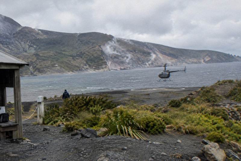
The Pink And White Terraces Site From The Air
The Pink and White Terraces were buried on the night of 10 June 1886. Flights from Rotorua still cross the lake that swallowed them, and knowing what is and is not down there changes which ticket makes sense.
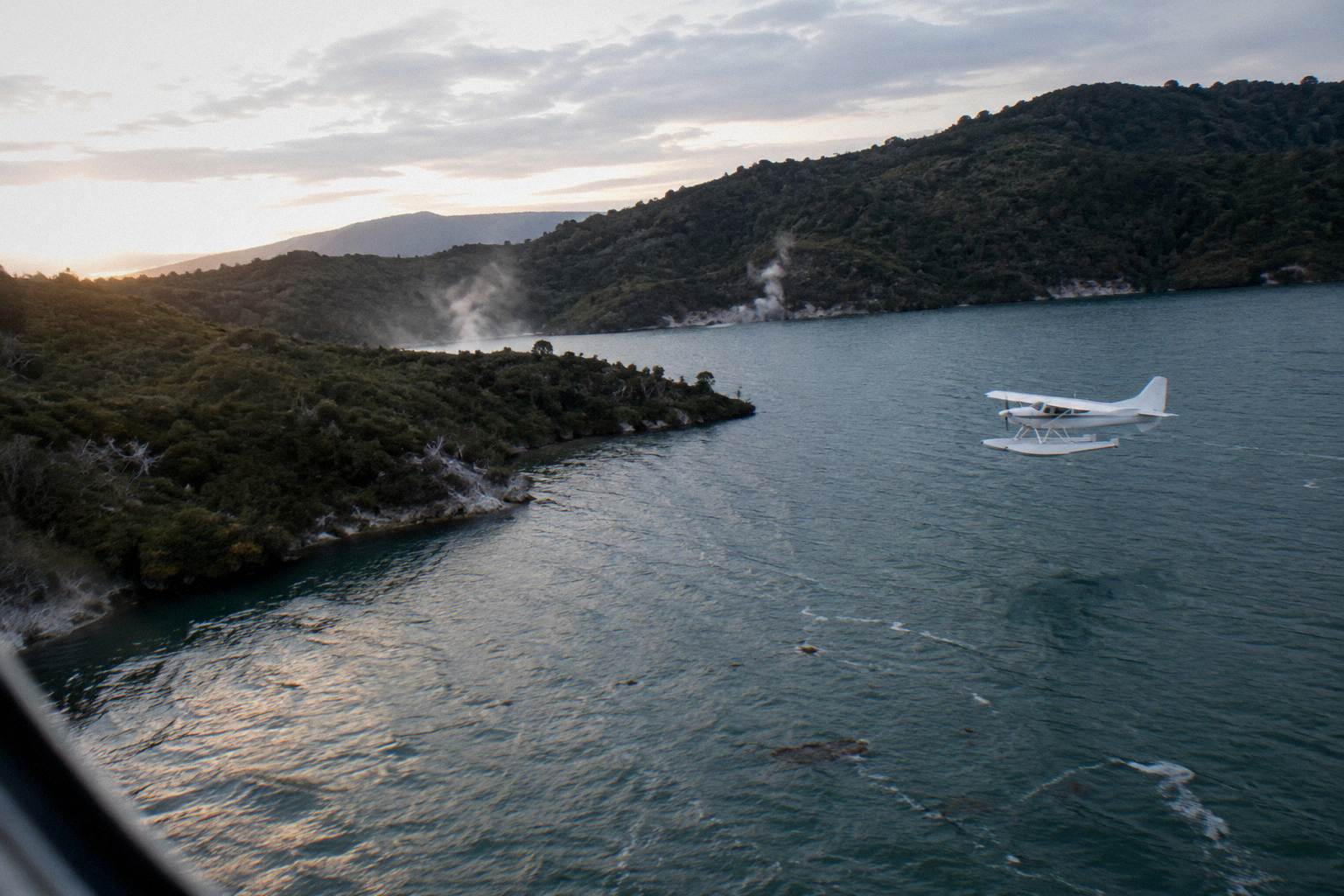
Short answer
The terraces were silica hot springs destroyed in the 1886 Tarawera eruption; GNS says remnants of the Pink Terraces may lie at the bottom of Lake Rotomahana. No flight can show them to you. Flights from NZ$395 to NZ$1,490 per person cross the lake area, overfly the 17 km rift line and, on helicopter versions, can land on the Tarawera summit.
The Pink and White Terraces were the biggest attraction in New Zealand before 1886, and then, in a single night, they were gone. The eruption of Mt Tarawera on 10 June 1886 buried the famous silica hot springs, as NZ History records, and the lake that formed over the site is now on the flight path of nearly every scenic flight leaving Rotorua. That gap between the story and the view is what decides which ticket to buy.
For a deeper look at the mountain those flights land on, see the Mt Tarawera helicopter landing guide.
| Quick Facts | |
|---|---|
| What the terraces were | Silica hot spring formations at Lake Rotomahana, buried on 10 June 1886 |
| Can you see them from the air | No; they were destroyed or submerged, no flight offers a viewing |
| Closest thing on a flight | The rift across Tarawera, Lake Rotomahana and Waimangu Valley on the same routes |
| Cheapest route over the area | Scenic Floatplane, Tarawera And Waimangu, from NZ$395 per person |
| Landing option | Mt Tarawera summit by helicopter, at the pilot's sole discretion |
| Departure point | Volcanic Air, 1 Lakefront Drive, Rotorua |
What Were The Pink And White Terraces?
The Pink and White Terraces were stepped silica formations on the shores of Lake Rotomahana, described by NZ History as famous silica hot springs, and they were the drawcard that put the region on international tourist maps before the eruption. They were lost on the night of 10 June 1886, when Mt Tarawera erupted and buried them. Nothing of the formations stands above water today, and no replica exists anywhere.
Visitors in the decades before the eruption reached the terraces by boat and on foot, and the journey was considered part of the experience. The White Terraces sat on one side of Lake Rotomahana and the Pink on the other, both built by mineral rich water depositing silica in descending pools. Contemporary accounts treat them as the eighth wonder of the world, a phrase that has attached itself to the site ever since.
The 1886 eruption ended all of it in hours. Ash and mud buried the nearby village of Te Wairoa, now known as the Buried Village, and more than 100 people were killed in villages near the mountain. The lake itself was transformed by the eruption; the DOC page on the Lake Tarawera Scenic Reserve records how the blast redrew the whole body of water.
What survives is underwater, possibly. GNS reports that remnants of the Pink Terraces may lie at the bottom of Lake Rotomahana, a claim researchers have explored with sonar and submersible surveys. The claim is a "may", and that is exactly why no flight description can promise a sighting. The full story of the eruption and how to read its scars from a window seat is covered in the 1886 eruption flight guide.
Can You See The Pink And White Terraces From A Helicopter?
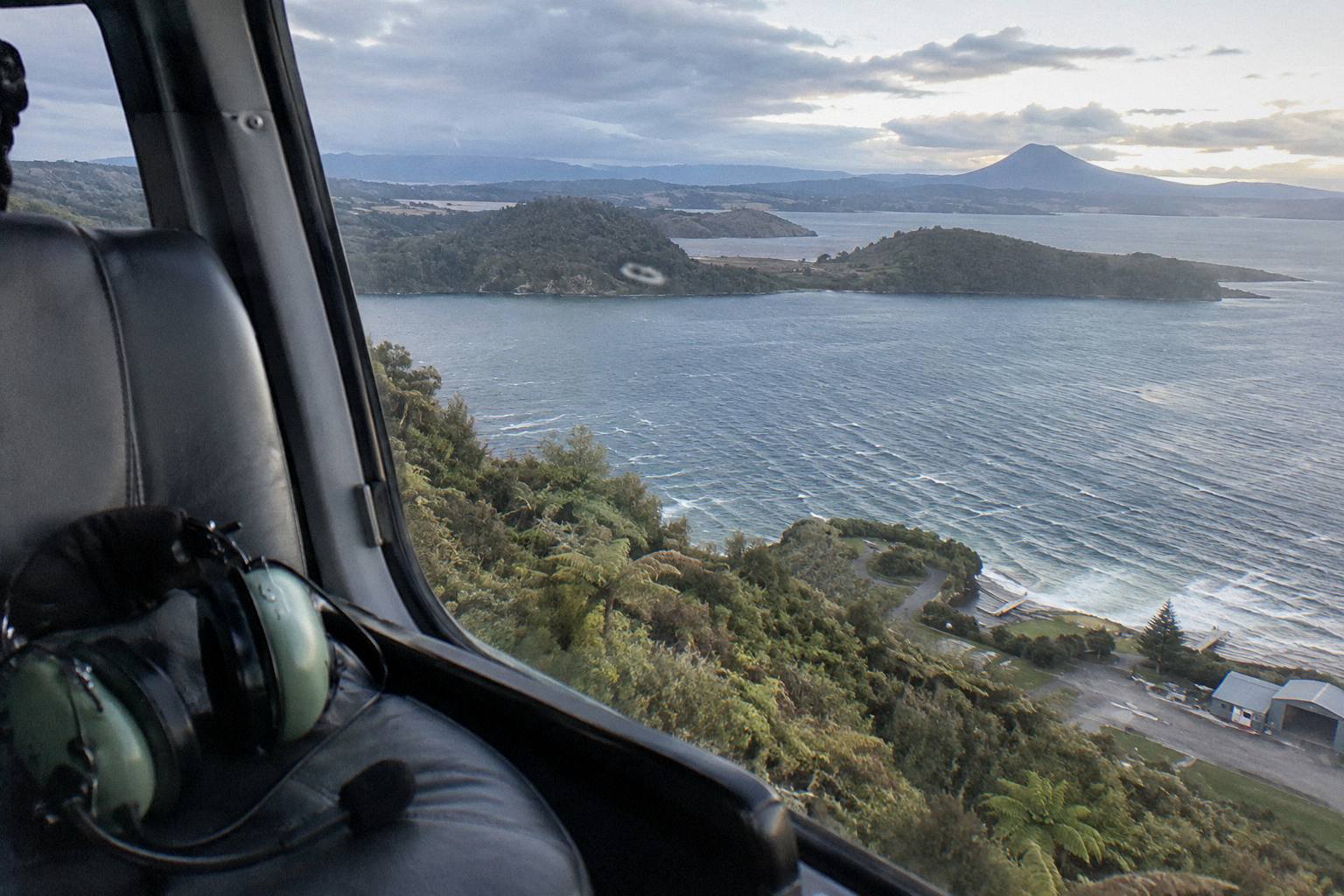
No. The terraces were destroyed or submerged in 1886, and no helicopter or floatplane flight from Rotorua can show them to you. Any tour copy implying a terraces viewing is being loose with the facts. What flights do offer is the landscape the terraces sat inside: Lake Rotomahana, the rift across Tarawera, and the valley the eruption created. That is a different product, and a genuinely good one.
This distinction matters because a few travel write ups blur it. A flight "over the terraces site" means the aircraft passes above the lake that now covers the location. The water surface is what you will look at, along with the steaming shoreline and the volcanic terrain around it. On a clear day that terrain is dramatic in its own right: the lake sits inside the Okataina volcanic centre, and the ground between Tarawera and Waimangu still vents heat from the 1886 fissure.
The framing is historical. You fly over the site the way you visit a battlefield: the event is the reason you look down, not an object you expect to photograph. GNS's Tarawera science, including the 17 km rift that split the mountain top and ran under the lake toward Waimangu, is what turns a scenic lake into the last page of the terraces story. That is worth a flight, just not a flight bought on the expectation of seeing silica terraces.
If the goal is geothermal features you can actually see from the air, steam and mineral terraces at accessible parks, the helicopter and Orakei Korako guide covers those routes instead. Orakei Korako, where a floatplane lands on the Waikato River, is a live geothermal field with up to 23 active geysers by the park's own description.
Which Flights Pass Over Lake Rotomahana?
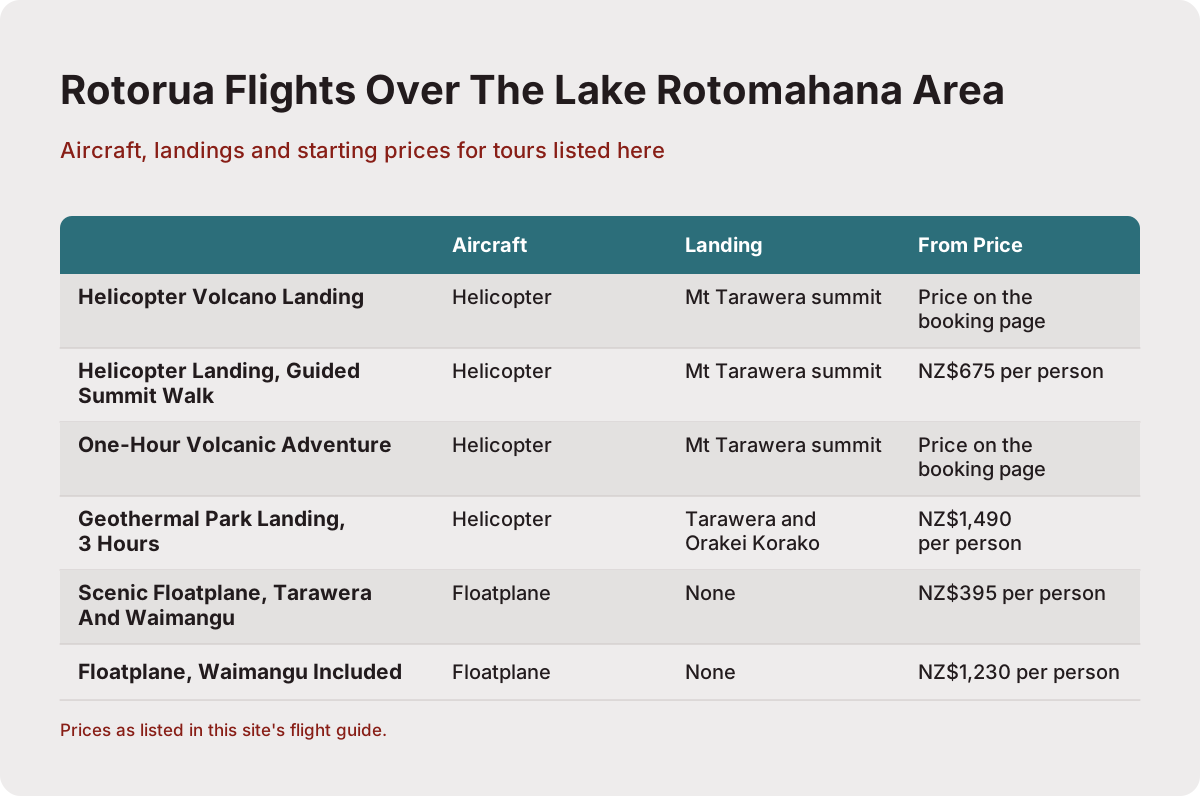
Nearly every Tarawera flight from Rotorua crosses the Rotomahana area, because the lake sits directly under the rift line the routes follow. Helicopter options include the Helicopter Volcano Landing, the Helicopter Landing, Guided Summit Walk and the One-Hour Volcanic Adventure, all landing at the pilot's discretion on the summit. Floatplane options such as the Scenic Floatplane, Tarawera And Waimangu overfly the lake and valley without landing.
The route logic is simple once you look at a map. Tarawera's summit, Rotomahana and Waimangu Valley sit in a line, and that line is the 17 km rift described by GNS. A flight heading for the mountain from Rotorua crosses lakes Okareka, Okataina and Tarawera, then follows the fissure south. The operator's own Tarawera landing page describes the flight as crossing "8km of rift and craters" over the mountain itself, a different span from GNS's 17 km line across the whole area, so both numbers belong to their sources.
Here is where each relevant trip fits:
| Flight | Aircraft | Landing | Rotomahana area | From price |
|---|---|---|---|---|
| Helicopter Volcano Landing | Helicopter | Mt Tarawera summit | Overflown on route | Price on the booking page |
| Helicopter Landing, Guided Summit Walk | Helicopter | Mt Tarawera summit | Overflown on route | NZ$675 per person |
| One-Hour Volcanic Adventure | Helicopter | Mt Tarawera summit | Overflown on route | Price on the booking page |
| Geothermal Park Landing, 3 Hours | Helicopter | Tarawera and Orakei Korako | Overflown on route | NZ$1,490 per person |
| Scenic Floatplane, Tarawera And Waimangu | Floatplane | No landing (flyover) | Overflown on route | NZ$395 per person |
| Floatplane, Waimangu Included | Floatplane | No landing (flyover) | Overflown on route | NZ$1,230 per person |
Amounts are New Zealand dollars, per person, taken from each trip's booking-page from-price where one is listed. Where no price is shown, the figure is on the live booking page and can move with season and demand.
The Mt Tarawera Helicopter Tour with Volcano Landing, rated 4.9 from 43 reviews, is the middle path most suited to a first visit: a short helicopter loop over the rift with a summit landing attempt. The Helicopter Landing, Guided Summit Walk stretches the summit portion to a guided walk on the crater floor. The floatplanes trade the landing for a longer, lower sweep over the lakes, and the floatplane's wing-high view suits photographers chasing reflections.
One nuance from the line-up worth knowing: the floatplane Tarawera and Waimangu trips are flyovers, with no mountain landing. Passengers sometimes assume "Tarawera" on the ticket means a summit touchdown; on floatplanes it never does, and on helicopters it always depends on conditions and the pilot's sole discretion.
Helicopter Or Floatplane For The Terraces Area?
Helicopters land on Tarawera's summit, so they give you the only physical contact with the eruption story; floatplanes stay airborne but often cover more water per minute, including the lake surfaces that hide the site. Neither aircraft type gets closer to the terraces themselves, because the terraces are on the lake bottom. Choose by whether you want to stand in the rift or sweep across the lakes, not by terraces access.
The landing question deserves its own weight. Volcanic Air's Tarawera landing page is explicit that excursion landings are undertaken at your own risk and are at your pilot's sole discretion, with tour duration, flight times and inclusions varying due to weather, volcanic activity and passenger loadings. A summit landing is a genuine highlight when it happens, but it is never a guarantee, and the flight is priced and described as scenic flight plus attempted landing.
Floatplanes depart from and return to the lakefront pier, lifting off Lake Rotorua itself, and the crater lakes flight page describes the route around Mokoia Island, a native bird sanctuary, before heading south. The wing views over Okareka, Okataina and Tarawera are wide and unhurried. The Scenic Floatplane, Tarawera And Waimangu runs a 30 minute flight inside a 40 minute total experience and carries a 4.9 rating from 28 reviews, the second largest review pool on the line-up.
A quick comparison for the two formats as they apply to the Rotomahana story:
| Consideration | Helicopter | Floatplane |
|---|---|---|
| Summit landing possible | Yes, pilot's discretion | No, flyover only |
| Take-off | Land pad at the Lakefront | Lake Rotorua from the pier |
| Typical window view | Wide, door-level | High wing, unobstructed |
| Longer combined routes | Volcanic Extremes, 1h45m | Floatplane, Waimangu Included, 2 hours |
| Cheapest from price | NZ$675 per person on the landing walk | NZ$395 per person scenic |
For a fuller treatment of the two formats side by side, the Rotorua helicopter versus floatplane guide works through seats, motion, routes and price bands in detail. For the weather question that governs both, the Rotorua helicopter weather guide explains the operator's reschedule and full refund practice.
What A Tarawera Landing Adds To The Story
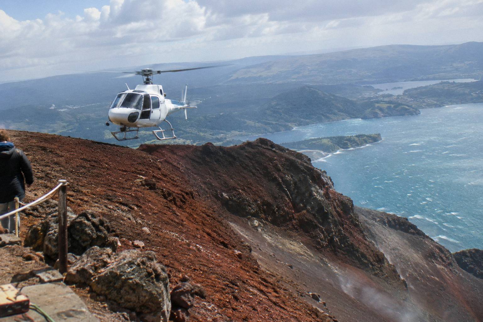
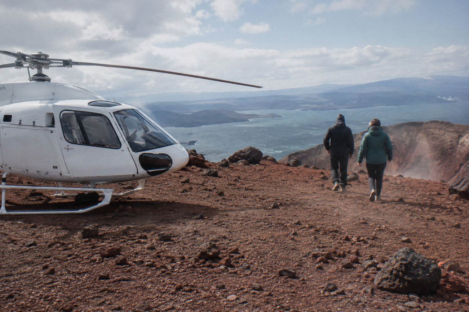
Standing on the summit puts you on the rift itself, the fissure that opened on the night the terraces died, and that is the closest any modern visitor gets to the physical event. The 15 minute guided walk included on the landing flights crosses crater terrain at 1,111 m, among the three domes of Ruawahia, Tarawera and Wahanga. Access exists only through authorised guided tours or approved helicopter landings.
The access point is not a technicality. The Ruawahia 2B Trust governs Mt Tarawera and reinvests most tourism concession revenue in conservation, and Volcanic Air operates as a concessionaire working alongside Ngati Rangitihi, who hold kaitiakitanga of the maunga. Independent summit access is not permitted. Every landing flight is therefore also a conservation arrangement, and the walk is guided because the iwi and trust require it.
From the summit the view runs down the rift toward Rotomahana and Waimangu, the whole line GNS describes, and on a clear day you can trace the eruption's path with your eye. The Helicopter Landing, Guided Summit Walk, from NZ$675 per person with a 40 minute total duration, devotes the most ground time to this. The One-Hour Volcanic Adventure spends longer in the air around the whole zone.
Book the landing flights early in your stay: because a landing needs suitable conditions, an extra day or two in Rotorua gives the operator room to reschedule you rather than refund and goodbye. The how far in advance to book a Rotorua helicopter flight post covers timing, and the is the Tarawera crater landing worth it post weighs the landing question directly.
The 1886 Eruption Route: What You Actually Fly Over
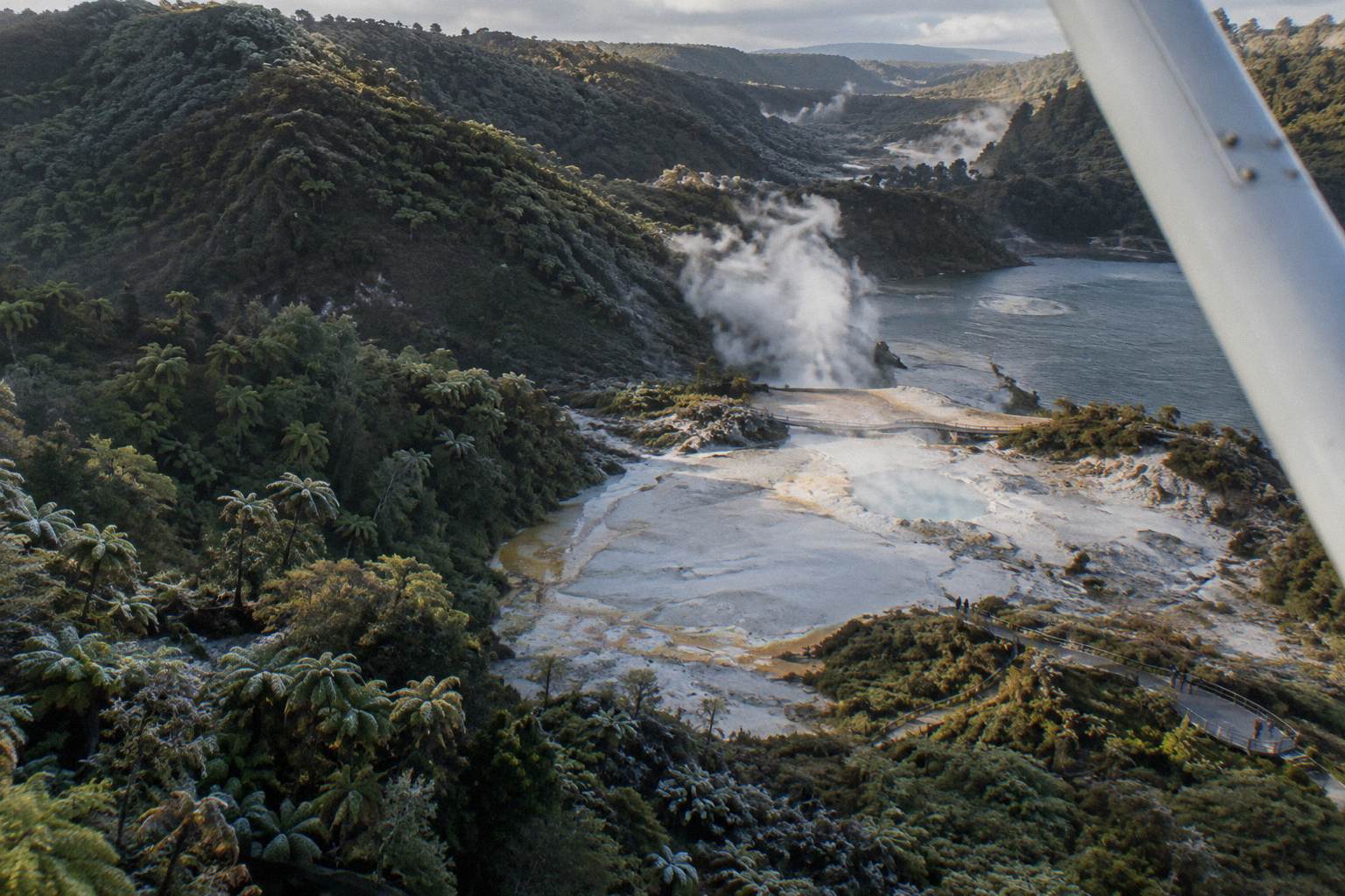
Flying the rift from Rotorua takes you across lakes Okareka, Okataina and Tarawera, over the summit fissure, past Lake Rotomahana and down toward Waimangu Valley, which the eruption created. That chain is the visible aftermath of 10 June 1886, and it reads as a single story from a window seat in a way no ground trip matches. Each stop has its own facts worth knowing before you board.
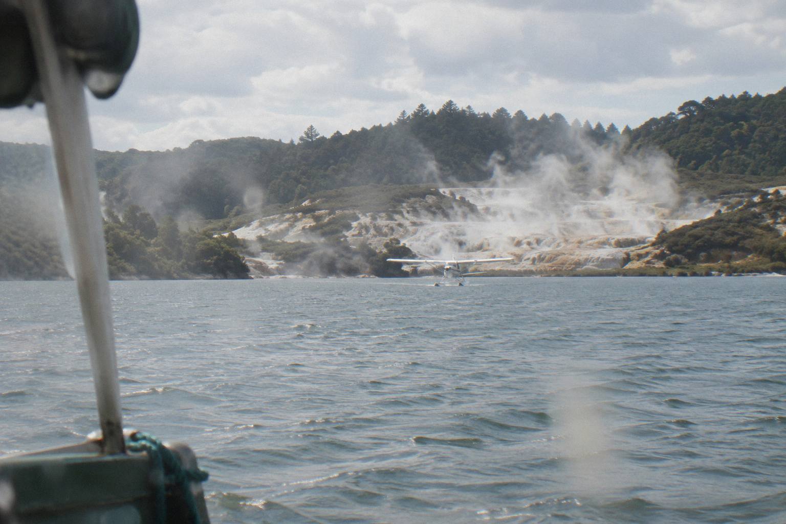
The science, briefly. The summit stands 1,111 m, its highest dome Ruawahia. The GNS Tarawera fact sheet describes a 17 km rift across the mountain top, through Lake Rotomahana and into the Waimangu Valley area. The eruption killed more than 100 people in villages near the mountain, razed Te Wairoa and, in the words of NZ History, buried the famous silica hot springs known as the Pink and White Terraces. Sources differ on details like timing and the exact death toll, so those stay general here.
| Stop on the route | What it is | Connection to 1886 |
|---|---|---|
| Lakes Okareka, Okataina, Tarawera | Approach chain east of Rotorua | Overflown on the way to the mountain |
| Tarawera summit, 1,111 m | Three domes, landing site | Split by the rift the eruption opened |
| Lake Rotomahana | Lake over the terraces site | Site of the buried springs |
| Waimangu Valley | Live geothermal system | Created by the 1886 eruption |
| Te Wairoa, Buried Village | Excavated village site | Razed by ash and mud that night |
Waimangu is the part visitors underrate. The valley's geothermal system is the result of the 10 June 1886 eruption, the only large geothermal system in the world whose birth date is known, and it sits about 25 minutes drive from Rotorua at the end of Waimangu Road. Flights that include Waimangu in their route, the Scenic Floatplane, Tarawera And Waimangu and the Floatplane, Waimangu Included from NZ$1,230 per person, show you the rift's far end, where the story continues above ground rather than below water.
The Floatplane, Waimangu Included runs about 2 hours total and threads White Island into the same outing, a rare combination of the 1886 aftermath and New Zealand's active offshore volcano, which the operator describes as the country's only permanently active offshore volcano. Whakaari landings are suspended, and all Whakaari flying from this line-up is flyover only; the current status is best checked on GeoNet's Whakaari page, because it can change any day.
Practical Planning: Check In, Weights, Weather, Cancellation
All flights check in at the Volcanic Air office on the Lakefront at 1 Lakefront Drive, helicopters 30 minutes before departure and floatplanes 20 minutes, for a full safety briefing. Weights are declared at booking and passengers are weighed on arrival, and every flight here carries free cancellation up to 24 hours in advance for a full refund. Weather cancellations by the operator come with rescheduling or a full refund.
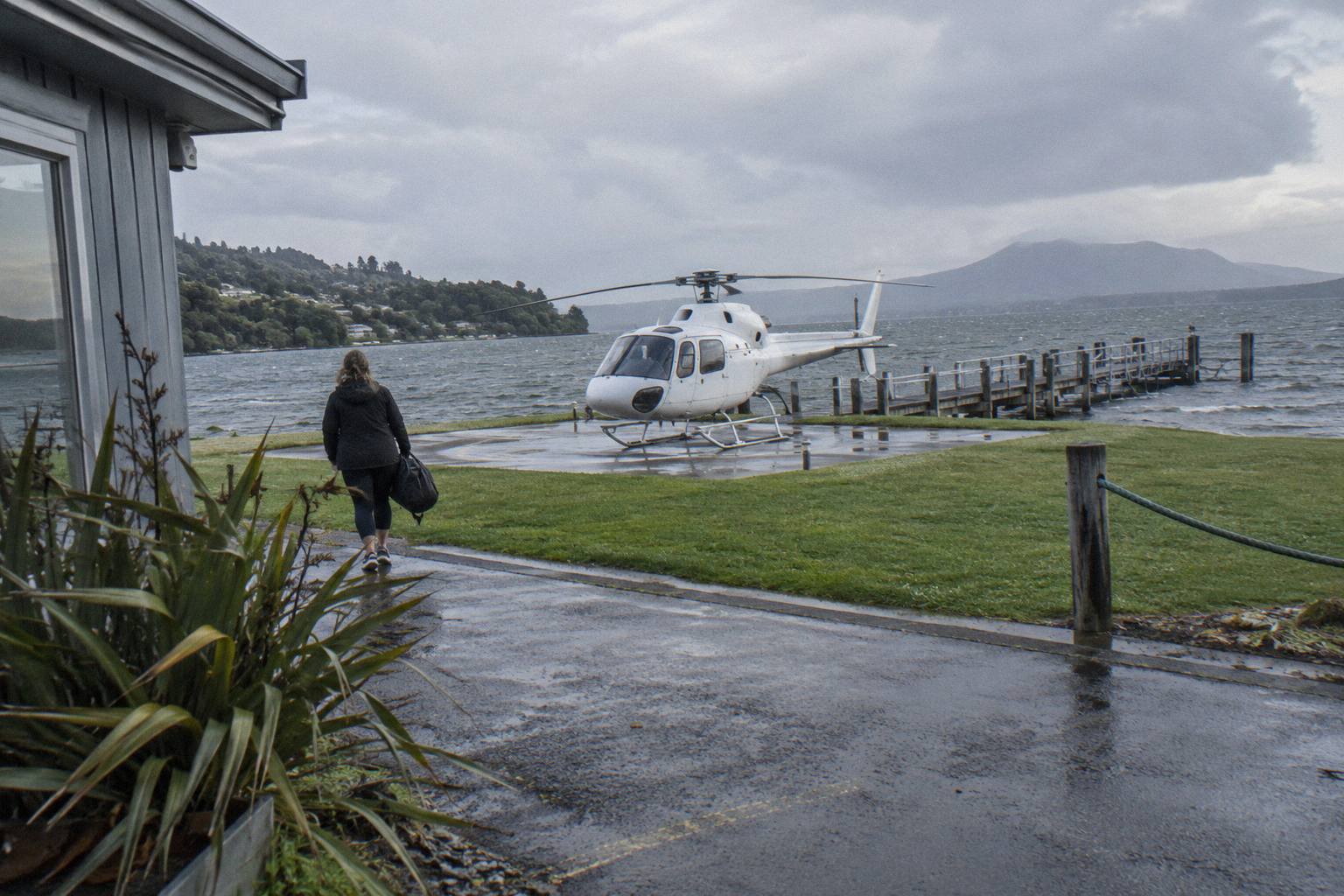
The weight rules are strict and worth reading before booking. Per the operator's terms, a declared weight deviation can mean rescheduling, a surcharge or cancellation of the booking at the operator's sole discretion; over 110 kg a surcharge may apply, and over 135 kg as weighed requires two adult fares. None of this is hostile, it is how the aircraft stays within balance limits, but it is a genuine trip-killer if ignored. The Rotorua helicopter flight weight limits guide works through the clauses.
Children are welcome at all ages. Under 2s sit on a parent or guardian's lap and ages 2 to 11 pay child rates, and on the Tarawera landing trips the operator's page sets a minimum of two adult fares with children paying 75 percent of the adult fare. The helicopter flights for families guide has the full picture for travelling with kids.
| Practical detail | What applies |
|---|---|
| Check in, helicopters | 30 minutes before, Lakefront office |
| Check in, floatplanes | 20 minutes before, Lakefront office |
| Weight | Declared at booking, weighed on arrival |
| Surcharge threshold | Over 110 kg, at operator's discretion |
| Two-fare threshold | Over 135 kg as weighed |
| Guest cancellation | Free up to 24 hours before, full refund |
| Operator weather cancellation | Reschedule or full refund |
What to bring is short: camera, sunglasses and a jacket, with closed-toe comfortable footwear on flights with landings. Pregnancy and mobility needs are not automatic barriers, per the operator's FAQ, but both need to be raised at booking so seating and assistance can be arranged.
When To Fly The Rotomahana Route
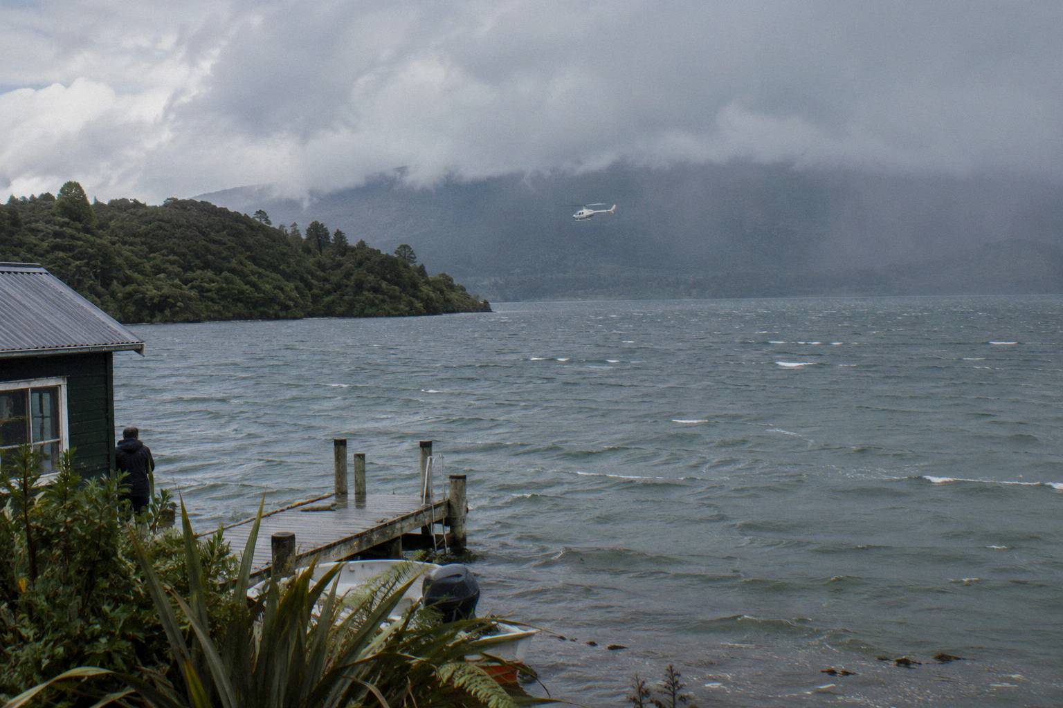
There is no single best month, but the pattern is consistent: the driest, warmest weather in Rotorua runs from late spring in October until early autumn in April, and mornings tend to give the calmest conditions and smoothest flying. Rainfall is fairly even year round, with November the driest month at 86.8 mm and July the wettest at 137.4 mm in the 1991 to 2020 normals. Booking a morning slot early in your stay maximises reschedule room.
The operator operates in all months of the year during daylight hours, so season affects comfort and cancellation odds rather than availability. A shoulder-season flight is often the one that goes ahead while summer bookings sit on the ground waiting for cloud to lift off the summit. Winter brings clearer, colder air and late-day colour on the lakes, as the operator's own FAQ notes, though it also shortens the day.
| Month | Rainfall mm (1991 to 2020) |
|---|---|
| January | 93.8 |
| February | 100.4 |
| March | 100.3 |
| April | 133.0 |
| May | 130.2 |
| June | 131.9 |
| July | 137.4 |
| August | 125.2 |
| September | 106.6 |
| October | 92.9 |
| November | 86.8 |
| December | 117.1 |
The broader seasonal trade-offs, including the photography argument for mornings, are laid out in the best time for a Rotorua helicopter flight guide. If rain is in the forecast, whether helicopters can fly in the rain answers the usual worry: it usually can, unless visibility or wind makes it unsafe, in which case the operator reschedules or refunds.
Mistakes To Avoid When Booking A Terraces-Area Flight
The mistakes that cost people money here are expecting to see the terraces, assuming every Tarawera flight lands on the summit, mis-declaring weight, and booking the flight for the last day of the trip with no reschedule room. Each one is avoidable in under a minute of planning, and each one turns an expensive ticket into a disappointment or a fee. Treat the terraces as history, the landing as conditional, and the booking as needing a spare day.
The specifics:
- Buying a flight to "see the terraces". No flight shows them. Buy the flight for the rift, the lakes and Waimangu, and the story lands.
- Assuming a summit landing. Landings are at the pilot's sole discretion and subject to weather and volcanic activity. If a landing is the whole reason for booking, accept that it may not happen.
- Guessing your weight at booking. You are weighed on arrival, and a deviation can mean a surcharge, a reschedule or a cancelled booking at the operator's sole discretion.
- Booking the floatplane and expecting a mountain landing. Floatplane Tarawera routes are flyovers; only helicopters attempt the summit.
- Scheduling the flight on your departure day. Weather moves flights, and a same-day reshuffle is usually impossible. Give the booking a buffer day.
- Waiting to check Whakaari expectations. Whakaari landings are suspended and status changes; check GeoNet before assuming anything about that leg.
Choosing Your Ticket: The Short Version
For most readers curious about the terraces, the Mt Tarawera Helicopter Tour with Volcano Landing is the right first ticket: it overflies the rift and Rotomahana area and attempts the summit landing, at 4.9 from 43 reviews. Budget travellers get the Scenic Floatplane, Tarawera And Waimangu from NZ$395 per person; readers who want maximum ground time take the Helicopter Landing, Guided Summit Walk from NZ$675 per person. All three cancel free up to 24 hours before.
The decision really comes down to landing versus not, and air time versus ground time. Helicopter buyers choose contact with the mountain. Floatplane buyers choose a wider, quieter sweep over the lakes and the valley that formed the same night the terraces fell. Both fly the same story from slightly different altitudes, and neither pretends to show you something that has been under a lake since 1886.
Common Questions About The Terraces Site
Can You See The Pink And White Terraces From A Helicopter?
No. The terraces were buried or largely destroyed in the 1886 eruption, and GNS says remnants of the Pink Terraces may lie at the bottom of Lake Rotomahana. Flights pass over the lake area, but nothing of the formations is visible from the air.
Which Flights From Rotorua Pass Over Lake Rotomahana?
Nearly all the Tarawera routes. Helicopter options include the Helicopter Volcano Landing and the Helicopter Landing, Guided Summit Walk; floatplane options include the Scenic Floatplane, Tarawera And Waimangu and the Floatplane, Waimangu Included. The lake sits on the rift line the routes follow.
What Caused The Loss Of The Pink And White Terraces?
The eruption of Mt Tarawera on the night of 10 June 1886. The eruption buried the silica hot springs, razed the village of Te Wairoa and killed more than 100 people in villages near the mountain.
Do Any Flights Land At The Terraces Site?
No. Landings from this line-up are on the Mt Tarawera summit by helicopter, at the pilot's sole discretion. Lake Rotomahana itself is overflown only, and floatplane Tarawera routes are flyovers without any mountain landing.
How Much Do The Flights Over The Area Cost?
From prices on the line-up run from NZ$395 per person for the Scenic Floatplane, Tarawera And Waimangu up to NZ$1,490 per person for the Geothermal Park Landing, 3 Hours. All amounts are New Zealand dollars per person, and every flight here cancels free up to 24 hours in advance.
Is A Helicopter Or Floatplane Better For The Terraces Story?
Helicopters can land on the Tarawera summit, the closest physical contact with the eruption story. Floatplanes stay airborne but sweep widely across the lakes. Neither gets closer to the terraces themselves, which are on the lake bottom, so choose by landing versus lake coverage.