Lake Tarawera From The Air: The Helicopter View
Lake Tarawera sits directly under the flight paths to Mount Tarawera, so nearly every volcano flight from Rotorua crosses it. This guide compares the routes, the landing options and the seasons.
Short answer
Lake Tarawera sits on the flight path to Mount Tarawera, about 20 minutes flying time from the Rotorua lakefront. Helicopter trips that land on the summit cross the lake on approach, and floatplane scenic flights overfly it. From NZ$395 per person for a flyover, from NZ$675 per person for a landing flight; all amounts in New Zealand dollars.
Part of the Rivers series; see also the Mount Tarawera helicopter landing guide for the summit walk itself.
| Quick Fact | Detail |
|---|---|
| Meeting point | Volcanic Air, Lakefront, 1 Lakefront Drive, Rotorua |
| Check-in | 30 minutes before helicopter flights, 20 before floatplanes |
| Lake on route | Lake Tarawera, plus Okareka and Okataina on the Tarawera landing flight |
| Cheapest flyover of the lake | Scenic Floatplane, Tarawera And Waimangu, from NZ$395 per person |
| Cheapest landing flight | Helicopter Volcano Landing, from NZ$675 per person |
| Landing guaranteed | No, landings are at the pilot's sole discretion |
| Free cancellation | Up to 24 hours before, per the booking terms |
What Does Lake Tarawera Look Like From A Helicopter?
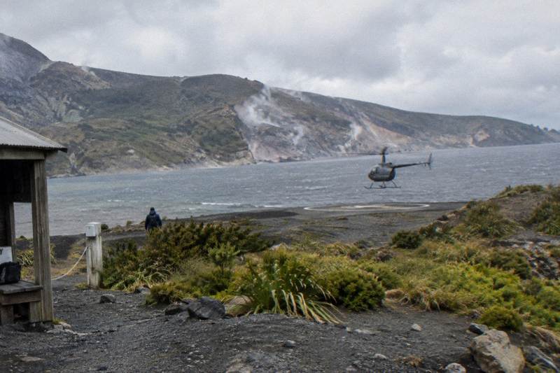
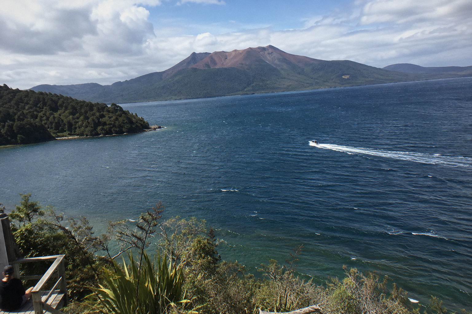
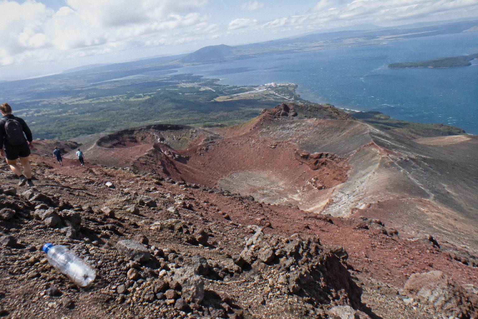
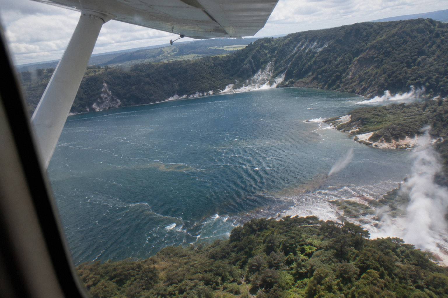
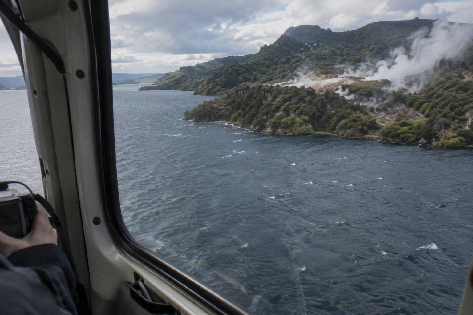
From the air Lake Tarawera reads as a long, many-armed sheet of water bounded by dark forest, with the torn red-and-grey line of the 1886 rift and the mountain's three domes above its southern shore. The helicopter route to the summit crosses lakes Okareka, Okataina and Tarawera in sequence, so the lake arrives as the third and largest of the chain.
The first thing that registers is colour. The water sits somewhere between deep blue and slate depending on the light, and against it the bush runs almost black-green, stitched with the pale scars of walking tracks and the odd roofline of the lakeside settlements. Then the geology takes over: as the aircraft tracks south the shoreline begins to climb, the ridges sharpen, and the forest gives way to the bare, rust-coloured walls of the rift itself, running across the top of the mountain toward the domes. The summit stands 1,111 m high, with Ruawahia the tallest of the three domes, Ruawahia, Tarawera and Wahanga.
The effect of seeing the lake this way is scale. From a boat or a beach at Lake Tarawera the mountain closes off the southern horizon, and the lake feels like a destination. From above, the water, the rift and the domes sit in one frame, and the geography of the 1886 eruption, the rift running from the mountain top through Lake Rotomahana toward the Waimangu Valley, becomes visible as a connected feature rather than a set of separate landmarks. GNS Science's Tarawera fact sheet describes that rift as 17 km long, running across the mountain top, through Lake Rotomahana and into the Waimangu Valley area, which is the span a flyover traces.
The operator's own flight wording is narrower: "Fly over Mt Tarawera's 8km rift and craters." The two figures describe different spans, the whole 17 km geological rift versus the portion crossing the mountain itself, so treat each as its own statement rather than a contradiction. Either way, the lake is the foreground of the picture and the mountain is the payoff. For a wider sense of the volcanic story behind the view, the Mount Tarawera 1886 eruption from above guide traces the full rift and the events that carved it.
Photography from this window works best with the sun angle in mind. Morning flights put the light behind the aircraft on the southbound leg, which lights the summit face, while afternoon flights can silhouette the domes but pick out late colour on the water. None of that is promised, cloud and haze decide, but it is worth knowing which seat to angle for: on most small helicopters every passenger gets a window, and the views alternate sides as the aircraft turns through the route.
Which Flights Actually Cross Lake Tarawera?
Six trips on the Rotorua line-up fly the Tarawera corridor: three helicopters that land on the summit, one three-hour geothermal combination, and two floatplane scenic flights that overfly the lake without landing. The "Helicopter Volcano Landing" trip, rated 4.9 from 43 reviews, is the straightforward summit option. The cheapest flyover is from NZ$395 per person, the cheapest landing flight from NZ$675 per person.
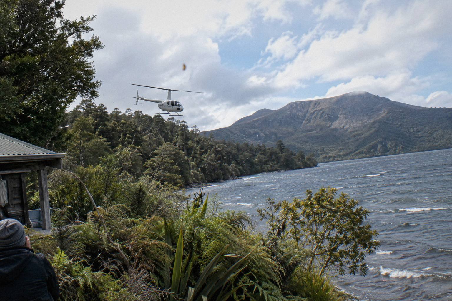
The three summit helicopters differ mainly in time and inclusions rather than in the lake view, which is close to identical across them. The "Helicopter Landing, Guided Summit Walk" trip pairs the crossing with a 15 minute guided walk on top for a total of about 40 minutes, from NZ$675 per person. The "One-Hour Volcanic Adventure" stretches the format to a full hour of flying and walking. The "Geothermal Park Landing, 3 Hours" trip adds a second landing at Orakei Korako and is the longest day on the corridor, from NZ$1,490 per person.
The floatplane side of the line-up covers the lake on wider loops. The "Scenic Floatplane, Tarawera And Waimangu" trip flies the lake and valley in a 30 minute flight within a 40 minute total, from NZ$395 per person, and carries a 4.9 rating from 28 reviews. The "Tarawera Volcano Floatplane" runs a similar 30 minute flight without landing. Neither touches the mountain; both see the lake and the rift from a lower, slower perspective than the helicopters.
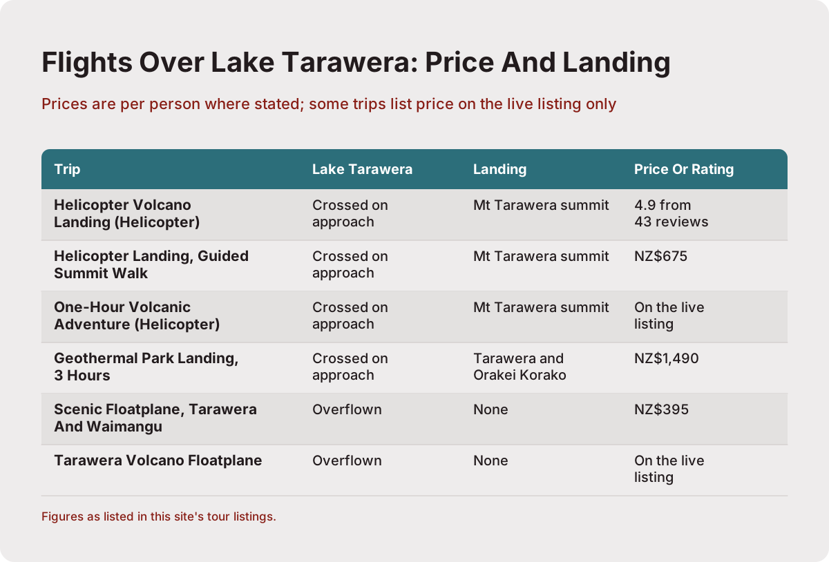
| Trip | Aircraft | Lake Tarawera | Landing | Price or rating |
|---|---|---|---|---|
| Helicopter Volcano Landing | Helicopter | Crossed on approach | Mt Tarawera summit | 4.9 from 43 reviews |
| Helicopter Landing, Guided Summit Walk | Helicopter | Crossed on approach | Mt Tarawera summit | NZ$675 |
| One-Hour Volcanic Adventure | Helicopter | Crossed on approach | Mt Tarawera summit | Price shown at booking |
| Geothermal Park Landing, 3 Hours | Helicopter | Crossed on approach | Tarawera and Orakei Korako | NZ$1,490 |
| Scenic Floatplane, Tarawera And Waimangu | Floatplane | Overflown | No landing (flyover) | NZ$395 |
| Tarawera Volcano Floatplane | Floatplane | Overflown | No landing (flyover) | Price shown at booking |
Price is only part of the decision, and the table makes the structure of it plain. The floatplanes trade the landing for a longer, wider loop at a lower price. The helicopters concentrate everything on the mountain: a short, direct crossing of the lake chain, the summit landing if conditions allow, and the walk on top. Where the two ratings exist at all, they sit at the same 4.9 mark, which says little about which is better and more about how consistently passengers rate both formats; several trips on the corridor have too few reviews for a rating to be shown at all.
One practical wrinkle: all of these flights meet at the same Lakefront base, so the logistics are identical whichever you choose. That makes swapping between a helicopter and a floatplane on the day, if one type is grounded by wind and the other is not, a conversation worth having with the office rather than a rebooking from scratch.
Can You Land Beside Lake Tarawera By Helicopter?
No trip on the Rotorua line-up lands on the Lake Tarawera shoreline itself: the landings on offer are on the summit of Mount Tarawera, reached after crossing the lake, or at the geothermal parks on the combined routes. Independent summit access is not permitted. Even on a landing flight, the operator's terms put every excursion landing at the pilot's sole discretion.
The terms behind that discretion are worth quoting in substance. The operator's Tarawera landing page states that tour duration, flight times and inclusions may vary due to weather conditions, volcanic activity and passenger loadings, and that excursion landings are undertaken at your own risk and at your pilot's sole discretion. In practice that means a flight can run, cross the lake beautifully, and still overfly the summit instead of landing if the wind on top is wrong. The operator's Tarawera landing page carries the full wording and is worth reading before booking any summit trip.
There is a land-management layer behind the access rules. The Ruawahia 2B Trust governs Mount Tarawera and reinvests most tourism concession revenue into conservation, and Ngati Rangitihi hold kaitiakitanga, guardianship, of the maunga. Volcanic Air operates as a concessionaire working alongside Ngati Rangitihi, which is why walking the summit requires a guided or approved flight arrangement rather than a solo hike. The revenue link is the quiet information gain here: a Tarawera landing ticket partly funds conservation work on the mountain itself, a fact few summary pages surface.
The landing, when it happens, is the closest a visitor gets to the lake from above. The operator describes the standard landing tour as a flight over the rift and craters followed by a landing on the summit for a 15 minute guided walk. For whether the walk justifies the price jump over a flyover, see whether the Tarawera crater landing is worth it, and for the walking comparison on the ground, whether a helicopter flight beats a hike up Mount Tarawera.
Booking terms across the line-up allow free cancellation up to 24 hours in advance, and if the operator cancels before the flight for circumstances beyond its control, weather or volcanic activity, the terms provide a full refund. That combination makes a summit-landing booking low-risk to commit to early, which matters in peak season when small aircraft fill.
What About Lake Rotomahana, The Lake Below The Rift?
Lake Rotomahana lies immediately southwest of Tarawera and was transformed by the 1886 eruption, which buried the Pink and White Terraces on its shores. Flights that follow the rift toward Waimangu pass over or beside it. How much the lake grew is disputed between official sources, so no single multiple is shown here.
That disagreement is worth pausing on, because it shows up on almost every summary page and almost never with a caveat. The Department of Conservation describes Lake Rotomahana as now twenty times its original size, while GNS states it increased five times over. Both are credible sources reading the same history differently; a page that picks one number and states it flatly is overselling its certainty. The summary is that the eruption enlarged the lake substantially and the sources differ on how much.
What is not disputed is the date and the toll. The eruption came on the night of 10 June 1886, killed more than 100 people in villages near the mountain, and razed Te Wairoa, the settlement now known as the Buried Village, which still stands on Tarawera Road as a ground-level counterpart to the aerial view. The terraces are the emotional centre of the story. NZ History records that the eruption buried the famous silica hot springs known as the Pink and White Terraces, and GNS notes that the White Terraces were largely destroyed while remnants of the Pink Terraces may lie at the bottom of Lake Rotomahana. From the air, that means the water below the rift is not just scenery; it is the grave of the country's most famous geothermal attraction.
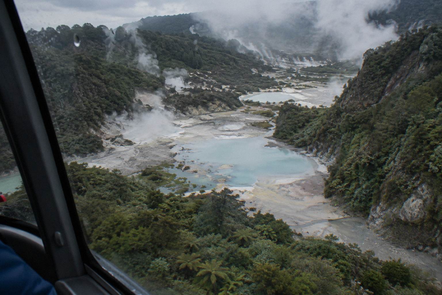
The rift continues past Rotomahana into the Waimangu Valley, whose own geothermal system, by Waimangu's account, is the direct result of the 1886 eruption. The valley sits about 14 km south of Rotorua and roughly 25 minutes from the city centre, so the floatplane loops that pair Tarawera with Waimangu are covering the full southern half of the rift in under an hour. For the full story, see the Mount Tarawera 1886 eruption from above guide, and for the terrace question specifically, the Pink and White Terraces helicopter guide.
Helicopter Or Floatplane For The Lake Tarawera View?
Helicopters win on proximity and the landing: they can set down on the summit above the lake, and their slow speed suits photography of the rift. Floatplanes win on scope and price: they take off from Lake Rotorua itself, fly wider loops that can include Waimangu, and start from NZ$395 per person. Neither guarantees views; every flight runs subject to weather.
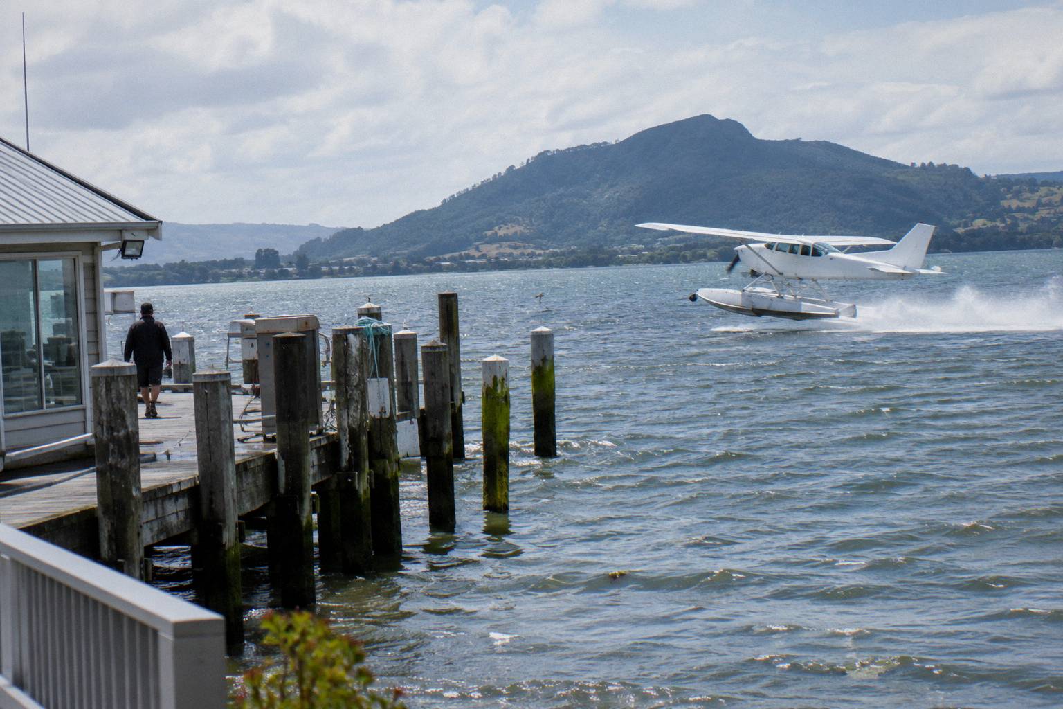
The take-off is part of the difference. Floatplanes depart from the lakefront pier and lift off the water of Lake Rotorua, a different opening to a flight than a helicopter pad, and the operator's crater lakes flight wording describes the floatplane climbing around Mokoia Island, a native bird sanctuary, on its way out. Helicopters leave from the same Lakefront base but from dry ground, and they climb faster and turn tighter, which matters on a route where the interesting features, the rift, the craters, the lake arms, are best seen in slow arcs rather than sweeping passes. The wider set of guides lives on Rotorua Helicopter Tours.
Windows and seating differ too. A floatplane cabin is more like a small aeroplane, with seated rows and views that depend a little on where you sit; a small helicopter gives every passenger a window and, on the front bench, a genuinely panoramic field of view. The trade is comfort and scale: the floatplane feels like a small aircraft, the helicopter feels like a tool for looking at things. Neither experience is promised in detail, seat plans vary by load and balance, but the general character holds.
For a fuller side-by-side, the Rotorua helicopter versus floatplane guide compares the two across the whole line-up. On the Tarawera corridor specifically, the choice compresses to one question: does the summit landing matter? If it does, the helicopter is the only aircraft on the line-up that offers it, and the floatplane flyover from NZ$395 per person sits against the helicopter landing with guided walk from NZ$675 per person.
When Is The Best Time To Fly Over The Lake?
The operator flies all year in daylight hours, and the steadiest weather window is late spring to early autumn, October to April, when Rotorua gets its driest and warmest conditions. Mornings often give the calmest air and softest photo light. The operator is explicit that there is no hard and fast answer, because the deciding factor is the weather on the day.
The rainfall numbers back up the seasonal pattern. Rotorua's wettest months on the 1991 to 2020 normals are midwinter: July averages 137.4 mm and June 131.9 mm, while the driest are November at 86.8 mm and October at 92.9 mm. That does not mean winter flights are pointless, only that the odds of a weather hold shorten, and a winter booking is worth protecting with a flexible itinerary. Destination Rotorua publishes the October-to-April note on its own FAQ page.
| Month | Average rainfall (mm) |
|---|---|
| January | 93.8 |
| February | 100.4 |
| March | 100.3 |
| April | 133.0 |
| May | 130.2 |
| June | 131.9 |
| July | 137.4 |
| August | 125.2 |
| September | 106.6 |
| October | 92.9 |
| November | 86.8 |
| December | 117.1 |
Within a day, the morning-versus-afternoon question has a real answer even though the operator declines to give a single rule. Mornings often give the calmest weather and smoothest flying with soft photo light, which suits the lake-and-rift circuit where detail matters. Afternoon flights can bring warmer temperatures and late-day colour, especially in winter, which suits passengers who would rather not stand on a windy summit at 8am. If conditions are unsuitable the operator tries to reschedule rather than cancel outright, so an early slot with a same-day fallback is a common tactic.
One more seasonal note: booking windows matter more than dates. The how far in advance to book a Rotorua helicopter flight post covers lead times, and the best time for a Rotorua helicopter flight guide treats the morning-versus-afternoon question in full. The short version: summer weekends book out first, winter midweeks rarely do.
What Does Each Lake On The Route Add To The Flight?
The Tarawera corridor is a chain, and the operator's flight wording names the lakes in order: the Tarawera landing flight crosses Okareka, Okataina and Tarawera. The crater lakes flights add Rotoiti, Rotomahana, Rotokakahi (Green Lake) and Tikitapu (Blue Lake), with the operator advertising views of 12 distinct crater lakes. Each lake has a different character from the air.
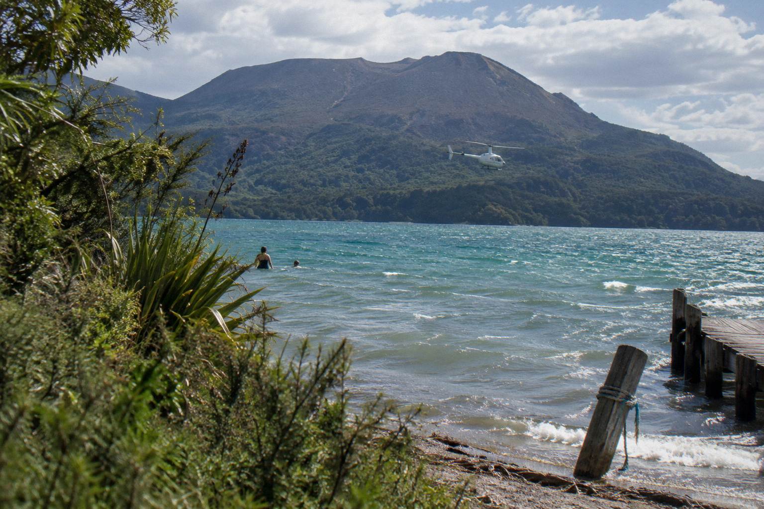
Okareka is the warm-up: a small lake with a settled northern shore, over in seconds but useful for calibrating how the aircraft windows and the light are behaving. Okataina is larger and wilder, bush-bounded with no road along its far shore, and it reads as a preview of the scale to come. Then Tarawera opens out, long and many-armed with the mountain above it, and for most passengers it is the moment the flight becomes worth the ticket. On the return leg the pilot often picks a different line back, which doubles the lake count without adding flying time.
Green Lake and Blue Lake make a natural pair from above, one deep green, one deep blue, sitting close together south of the city, and there is a dedicated post on whether it is worth flying over Lake Tarawera and the Blue Lake. Rotomahana, covered earlier in this article, is the eruption lake of the chain. Okataina sits inside the Okataina volcanic centre, the same volcanic system that built Tarawera's domes, which is why GeoNet tracks the Okataina volcanic centre as an entity in its own right rather than treating Tarawera as an isolated peak.
| Lake | Character from the air | Which trips cross it |
|---|---|---|
| Okareka | Small lake, settled northern shore | Tarawera landing flights |
| Okataina | Large bush-bounded lake, no road on far shore | Tarawera landing flights |
| Tarawera | Largest of the chain, many-armed, mountain above | All Tarawera corridor flights |
| Rotomahana | 1886 eruption lake below the rift | Waimangu and rift routes |
| Rotokakahi (Green Lake) | Forest-green water, uninhabited | Crater lakes flights |
| Tikitapu (Blue Lake) | Small, intensely blue | Crater lakes flights |
The short crater lakes flights, by helicopter or floatplane, take 15 minutes and do not reach Tarawera; they stay on the northern lakes, which is the single most common route confusion on the corridor. If Tarawera itself is the goal, the corridor flights listed in the earlier table are the ones that deliver it, and the operator's crater lakes page gives the floatplane version of that northern loop.
What Mistakes Do People Make Booking A Lake Tarawera Flight?
The four avoidable errors are booking a crater lakes flight expecting Tarawera, assuming the summit landing is guaranteed, under-declaring body weight, and cutting the check-in window too fine. The 15-minute crater lakes flights do not reach Lake Tarawera at all. Landings sit at the pilot's sole discretion. Check-in is 30 minutes before a helicopter departure.
Weight deserves emphasis because it catches people out and it is entirely avoidable. The operator's terms state that weights must be declared at booking, that passengers are weighed on arrival, and that any deviation from the declared weight may result in a flight being rescheduled, a surcharge being applied, or a booking being cancelled at the operator's sole discretion. Passengers over 110 kg may attract a surcharge, anyone over 135 kg as weighed requires two adult fares, and the One-Hour Volcanic Adventure style of flight carries a per-passenger weight figure of 110 kg and a maximum of 6 travellers on its booking details. The weight limits guide covers the full picture, including why the aircraft must stay within balance limits.
The other common miss is treating the lake view and the summit as one thing. They are sold together on the landing flights but priced separately in effect: the flyover floatplane delivers the lake at a lower price, and the helicopters deliver the lake plus the mountain on foot. Decide which half matters before comparing prices, and check how long a Rotorua helicopter flight actually is so the total time, check-in plus briefing plus flight, fits the day rather than just the airborne minutes.
A third, quieter error is logistical: the base is at the Lakefront, under 1 km from the Rotorua town centre, and there is no hotel pickup on standard flights. Direct pick-ups exist only for bespoke charters. Passengers who assume a pickup and budget no travel time arrive at the office with minutes to spare, and a missed safety briefing can mean a missed flight.
Common Questions About Flying Over Lake Tarawera
What Does Lake Tarawera Look Like From A Helicopter?
A long, many-armed lake bounded by forest, with the 1886 rift and the summit domes of Mount Tarawera above its southern shore. Landing flights cross lakes Okareka, Okataina and Tarawera in sequence before climbing to the summit, which stands 1,111 m high.
Which Flights Actually Cross Lake Tarawera?
Three summit-landing helicopters, one three-hour geothermal combination helicopter, and two floatplane scenic flights. The cheapest flyover is the Scenic Floatplane, Tarawera And Waimangu trip from NZ$395 per person; the cheapest landing flight is from NZ$675 per person.
Can You Land Beside Lake Tarawera By Helicopter?
No trip lands on the shoreline. The available landings are on the summit of Mount Tarawera, after crossing the lake, or at the geothermal parks on the combined routes, and every landing is at the pilot's sole discretion.
Is The Lake Tarawera Flight Weather Dependent?
Yes. All flights operate subject to suitable weather and safe flying conditions, and if a flight cannot go ahead the operator works to reschedule or provide a full refund. Booking terms allow free cancellation up to 24 hours in advance.
Helicopter Or Floatplane For The Lake Tarawera View?
Helicopters offer the summit landing above the lake; floatplanes take off from Lake Rotorua itself, fly wider loops and start from NZ$395 per person. The lake view from the air is similar on both; the landing is the real difference.
When Is The Best Time To Fly Over The Lake?
The driest, warmest window in Rotorua runs from October to April, and mornings often give the calmest air. The operator flies in daylight hours all year, and the deciding factor is always the weather on the day.