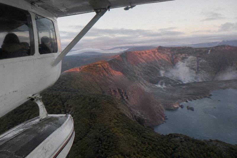
Is White Island Still Active, And Is A Helicopter Flight Safe?
Whakaari / White Island is an active volcano, landings are suspended, and scenic flights from Rotorua operate as flyovers only. What the live monitoring says and how flights are run.
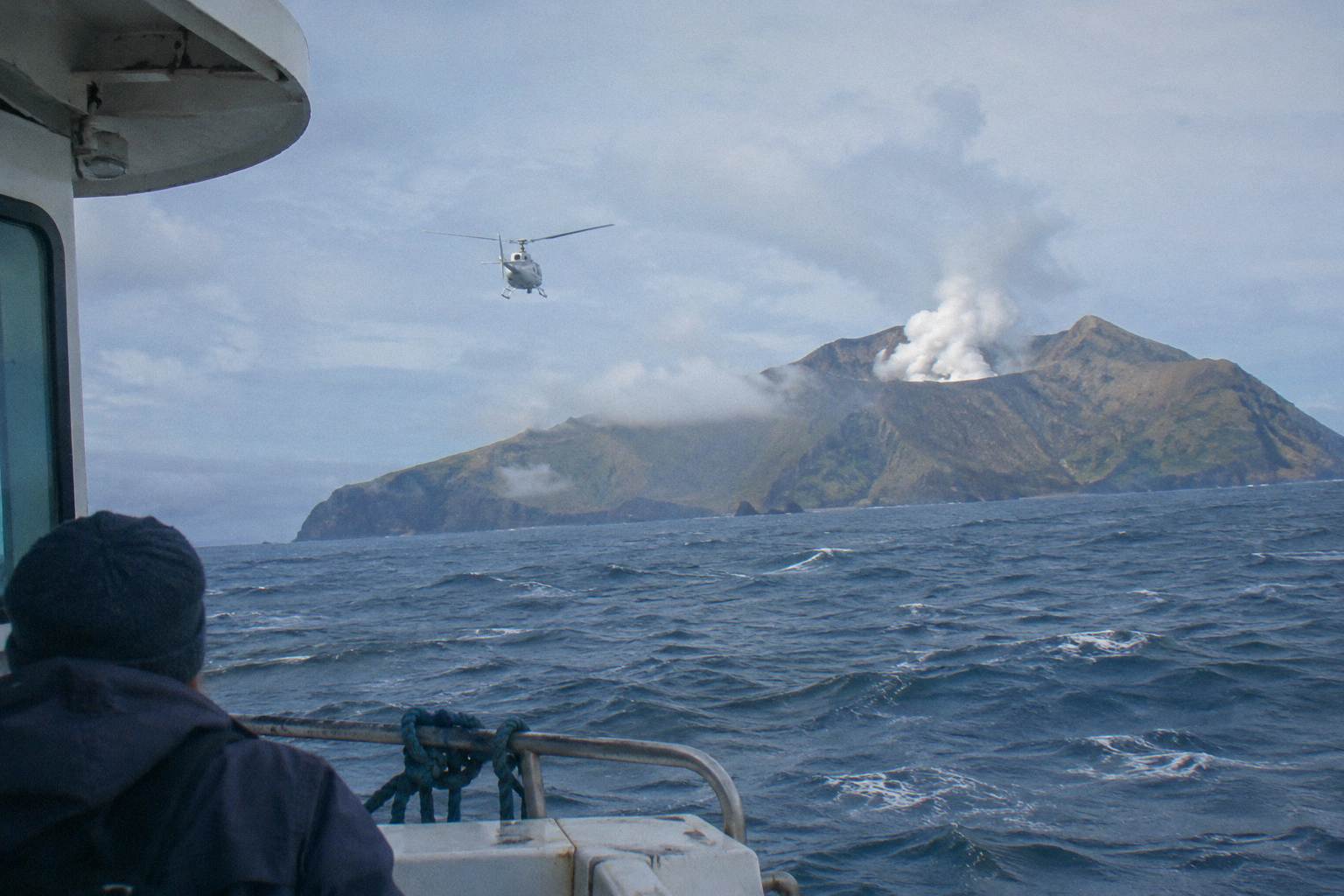
In short: Yes, Whakaari, also called White Island, is still an active volcano, and no, that does not currently mean flights over it are off the table. Landings on the island are suspended, so every Rotorua flight sold today is a flyover. Volcanic activity is tracked live by GeoNet, the official monitoring service, and the alert level can change on any given day. Flights operate subject to suitable weather and safe flying conditions, and the pilot and operator make the final call on the day.
The question sits at the front of almost every Whakaari flight decision, and it deserves a straight answer rather than a vague reassurance. For more on which trips exist and how they compare, see the White Island scenic flights overview on this domain, and for the landing question specifically, the flyover versus landing comparison covers what changed and when. What follows is the activity picture, the history that shapes it, and what it means for a booking.
| Quick fact | Detail |
|---|---|
| Volcano status | Active; monitored live by GeoNet |
| Landings | Suspended; no boat tours or helicopter landings |
| Flights from Rotorua | Flyover only |
| Distance offshore | About 48 km from the coast of Whakatane |
| 2019 eruption | 9 December 2019, 22 deaths, 25 injured |
| Operator flights | Run subject to weather and safe flying conditions |
Yes, Whakaari remains an active volcano, and helicopter flights from Rotorua still operate over the island under live monitoring. Operators follow strict safety protocols, assess volcanic activity before every departure, and adjust or cancel flights whenever conditions change, so flyover tours can run with close attention to current risk levels. GeoNet, New Zealand's official geological hazard service, maintains a standing page on Whakaari that publishes the current volcanic alert level and aviation colour code, and both can change on any day, which is why a fixed level never appears in print here. A flyover keeps the aircraft well away from the island itself while still crossing the Bay of Plenty and viewing the crater from open airspace. Whether any particular flight goes ahead depends on weather and flying conditions that day, and the operator's own terms state flights operate subject to suitable weather and safe flying conditions, with the pilot holding final discretion.
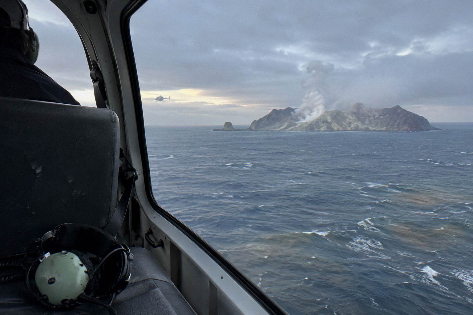
The honest framing is that "active" and "open for flyovers" are not in conflict. Activity at Whakaari moves through phases, and the aviation colour code exists precisely so that operators and airspace authorities can react to each phase. GeoNet describes level 2, for instance, as "Moderate to heightened volcanic unrest", and its bulletins update as conditions evolve. The live GeoNet page for Whakaari is the single authoritative source, and checking it before a flight is a reasonable habit for anyone with a booking in the window.
Flights from Rotorua are sold as scenic flyovers of the island combined with other volcanic sights, usually Mount Tarawera. The three-hour-plus commitment is not unusual: Whakaari lies about 48 km off the coast of Whakatane, so reaching it from Rotorua means a long transit each way over water and farmland. That distance is also why these flights cost and weigh more than a 15-minute lakes circuit, and why operators bundle the island with Tarawera rather than selling it bare.
Among the options, the White Island, Mount Tarawera & Waimangu Volcanic Valley Floatplane Flight runs about two hours total with no landing, from NZ$1,230 per person, and the operator describes it as a flyover of the island paired with Tarawera and the Waimangu Valley. All amounts in this article are New Zealand dollars. If the question behind the question is which trip to book, three stand out:
What Does "Active" Actually Mean For Whakaari?
In volcanology, "active" means a volcano has erupted in recent history and is considered likely to erupt again, not that it is erupting at this very moment. Whakaari fits that definition firmly, since its most recent eruption occurred in December 2019 and its eruption history stretches back well beyond living memory. It is the marine volcano GeoNet tracks continuously, and the operator describes it as "New Zealand's only permanently active offshore volcano". The practical consequence for travellers is that the island's status is a live variable, published by GeoNet, rather than a fixed fact an article can safely freeze. The aviation colour code attached to that monitoring is the signal operators and regulators read, and it moves with the data.
The tiered system exists because volcanic activity is a spectrum. GeoNet's volcanic alert levels run from 0 to 5, and the wording for each band is published alongside the current level on the GeoNet site. An eruption has ceased at Whakaari according to a November 2026 GeoNet bulletin, but a bulletin is a snapshot, not a promise, and the level attached to it can be revised up or down at any time. That is why responsible coverage points to the live page instead of quoting a number that may be stale by the time it is read.
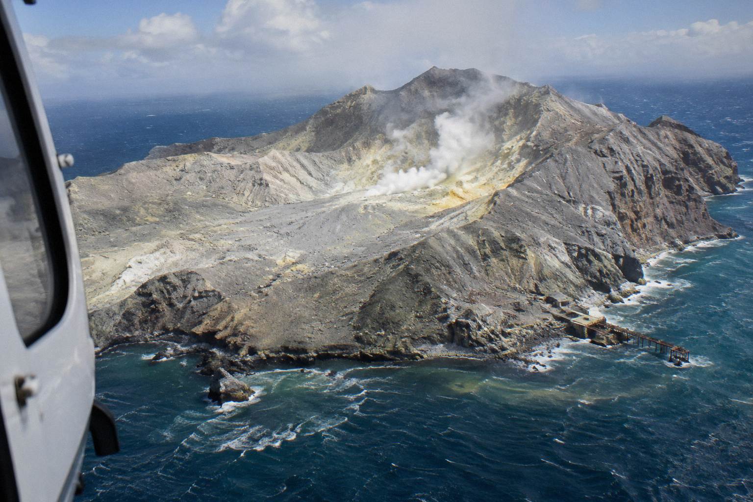
For a passenger, the chain of decisions runs: GeoNet publishes monitoring data, the aviation authorities set airspace rules where needed, and the operator decides whether the day's flight proceeds. The Civil Aviation Authority lifted the airspace restrictions over Whakaari in 2020, which is what allowed scenic flyovers to resume. None of that removes the pilot's discretion on the day; weather over the Bay of Plenty is its own variable, entirely separate from volcanic activity.
That layered system is the substance of the safety answer. Nobody flies over Whakaari on a fixed schedule regardless of conditions; every departure is a judgement made that morning against monitoring data and weather. The weather and cancellation guide covers what happens to a booking when conditions intervene, including the reschedule and refund options the operator states.
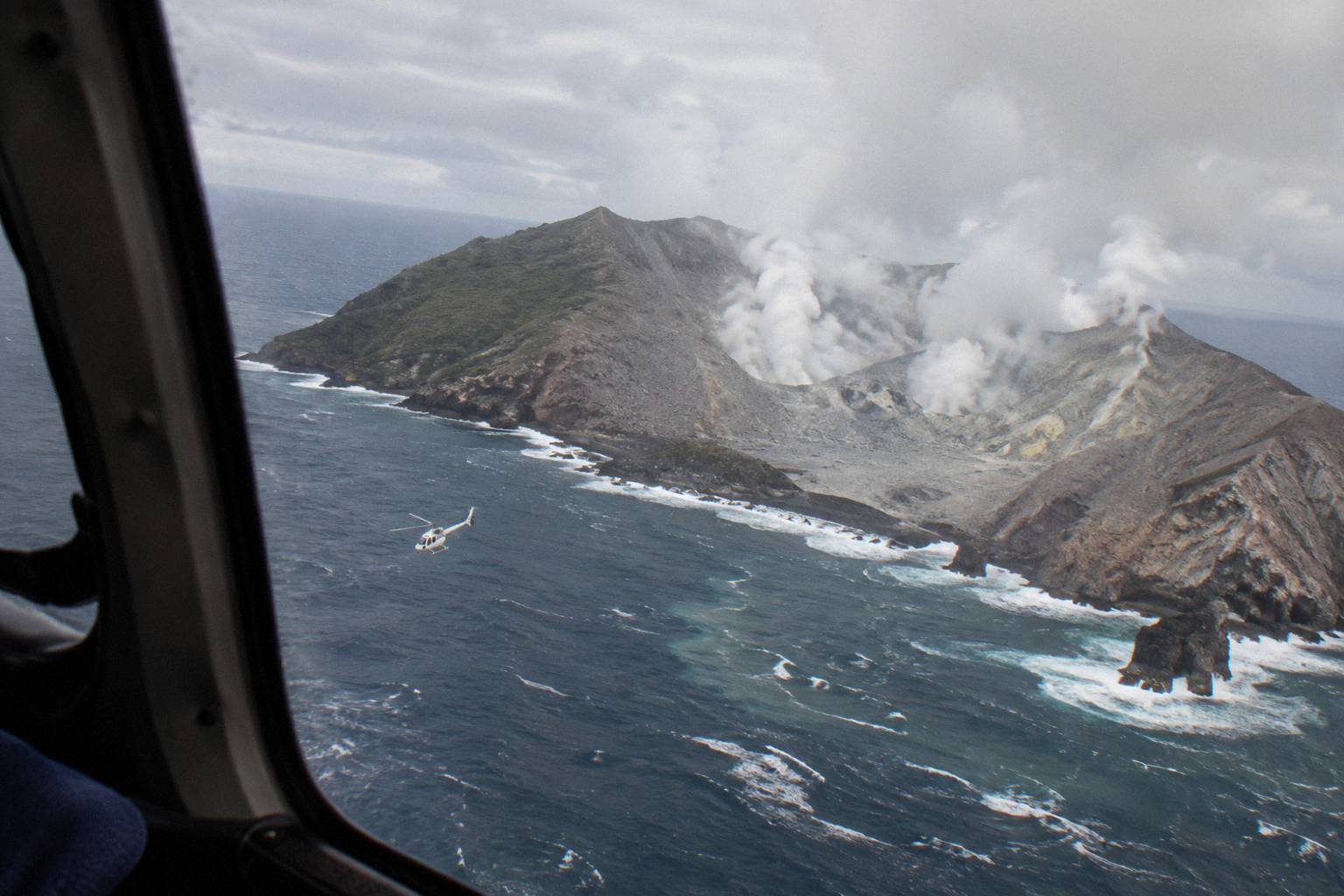
Can You Still Fly Over White Island From Rotorua?
Yes, scenic flights over White Island still depart from Rotorua, and a flyover is currently the only way to see Whakaari from the air because landing tours on the island remain suspended. Operators run these aerial sightseeing trips so visitors can view the volcano safely from above without setting foot on the ground. The official New Zealand travel information states that there are currently no boat tours to, and no helicopter flights that land on, the island, a suspension in place since the December 2019 eruption. The current status is published by newzealand.com. Flyovers are a different operation entirely, staying clear of the island itself while crossing the Bay of Plenty.
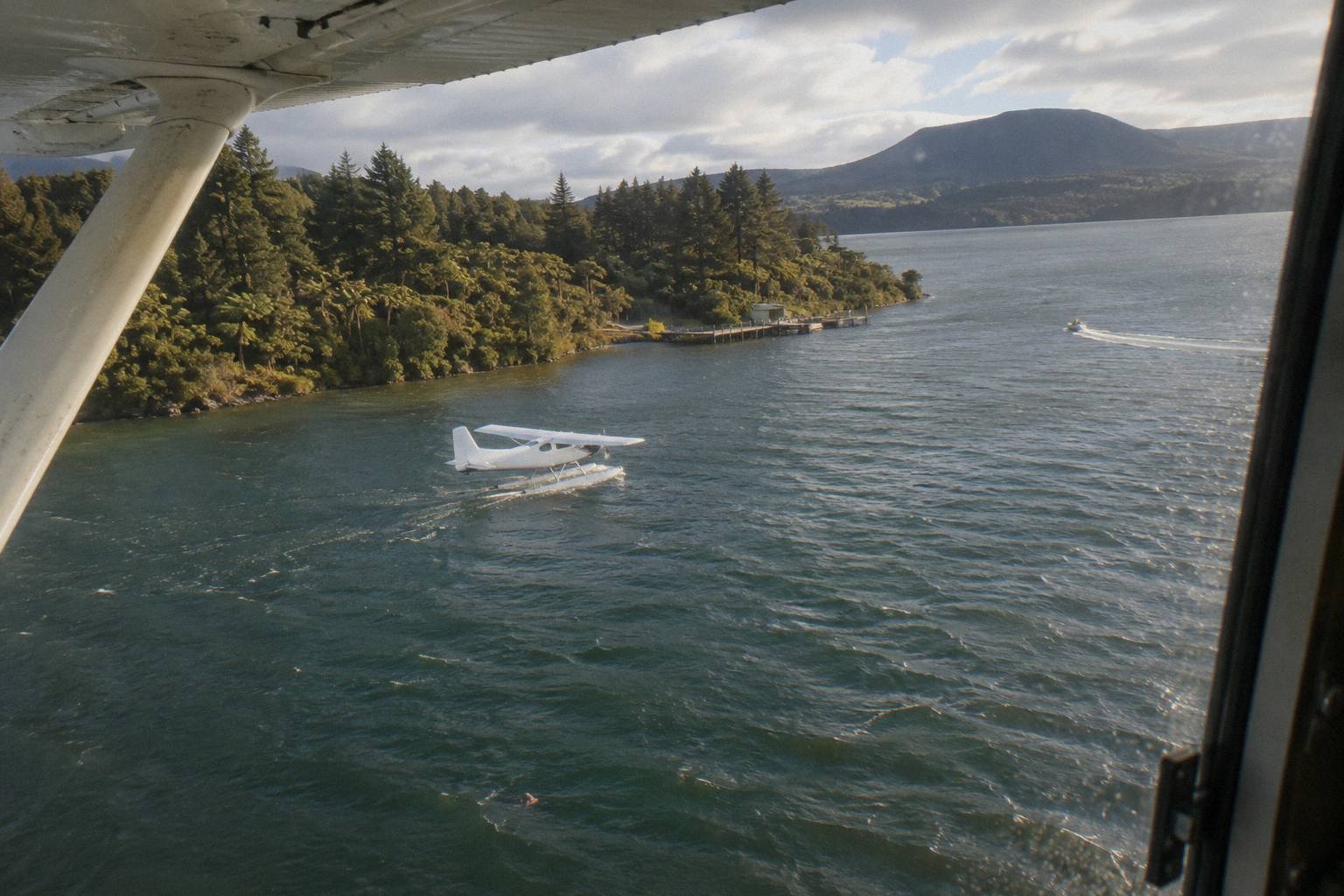
From Rotorua, the roster includes both floatplane and helicopter versions of the Whakaari crossing. The White Island & Mount Tarawera Floatplane Adventure is a floatplane trip pairing the island with Mount Tarawera, with no landing on the volcano; it has a small review pool, eight reviews, so no rating is printed here. The helicopter alternative is the Volcanic Extremes trip, one hour 45 minutes total, which the roster lists with a Tarawera summit landing; again the review pool, two reviews, is too small to support any rating claim.
The distinction between the two aircraft types matters less for Whakaari itself than for the rest of the route. A floatplane departs from and returns to Lake Rotorua, taking off from the lakefront pier, while helicopters leave from the Lakefront base at 1 Lakefront Drive. Both cross the same Bay of Plenty to reach the island. The pairing with Tarawera is standard because the transit to the coast passes near the mountain's line anyway, making the combined itinerary the efficient shape.
After the transit description, this is the floatplane pairing worth a closer look:
The article's featured trip, the White Island, Mount Tarawera & Waimangu Volcanic Valley Floatplane Flight, adds the Waimangu Valley to the same bones, and its live listing carries the Floatplane, Waimangu Included link alongside the full route detail. Whether a Waimangu inclusion matters depends on whether the valley's geothermal story, born of the 1886 Tarawera eruption, is part of what drew the question in the first place.
Which Whakaari Flights Exist, And How Do They Differ?
Three Rotorua flights currently cover Whakaari, and all are flyovers with no landing on the volcano itself. Two options travel by floatplane and one by helicopter, so the main differences come down to aircraft type, along with whatever each operator includes in route and experience. Each gives aerial views of the island rather than a ground visit. The suspension covers every aircraft type, so the choice between them is not about whether to land but about aircraft, total duration, what else is crossed on the route, and whether a Tarawera landing is part of the package. One prints a from-price; the other two carry no printable price here.
| Flight | Aircraft | Whakaari landing | Other stops | Printable price |
|---|---|---|---|---|
| White Island, Mount Tarawera & Waimangu Volcanic Valley Floatplane Flight | Floatplane | No | Tarawera and Waimangu flyover | From NZ$1,230 per person |
| White Island & Mount Tarawera Floatplane Adventure | Floatplane | No | Tarawera flyover | None printed |
| Helicopter White Island / Mount Tarawera "Volcanic Extremes" | Helicopter | No | Tarawera summit landing | None printed |
Read the table as a decision, not a catalogue. The floatplane trips suit a traveller whose priority is the long Bay of Plenty crossing and the Tarawera skyline, with the Waimangu inclusion marking the difference between them. The helicopter trip suits someone who wants to stand on Tarawera's summit after the island crossing, accepting that the landing itself is at the pilot's sole discretion and is never guaranteed; the operator's own terms say excursion landings are undertaken at your own risk. Weight and balance rules, covered in the weight limits guide, apply to all of them.
A second practical difference is check-in time. The operator asks helicopter passengers to check in at the Lakefront office 30 minutes before departure and floatplane passengers 20 minutes before, for a full safety briefing. That is worth building into the day's plan, because the base sits under a kilometre from the Rotorua city centre and is easy to reach on foot from most central accommodation, but the briefing window is not optional padding.
What Happened On 9 December 2019?
On 9 December 2019, Whakaari, also called White Island, erupted without warning while tour groups were on the island, killing 22 people and injuring 25 others. The disaster brought an immediate end to all tourist landings at the volcano, and no visits of any kind have taken place there since. The coronial inquiry into the eruption records those figures, and the bodies of two victims were not recovered. The eruption is the reason every Whakaari experience sold from Rotorua today is a flyover, and it is the reason the question of ongoing activity carries real weight for travellers weighing a booking rather than being a matter of idle curiosity.
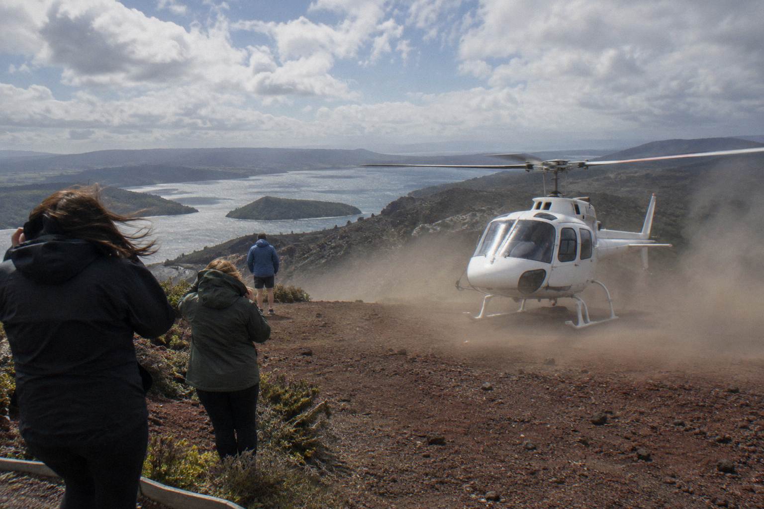
The aftermath reshaped how the island is used. Airspace restrictions were imposed and then lifted by the Civil Aviation Authority in 2020, allowing overflights to resume while landings stayed off the table. The official travel position remains that no boat tours or helicopter landings operate at the island. Whether and when that changes is not a question a scenic-flight article can answer; it is a regulatory and iwi decision that will be announced officially if it moves. Other pages covering the same trip are gathered on Rotorua Helicopter Tours.
Understanding the eruption also explains why the monitoring infrastructure around Whakaari is so visible. GeoNet's page, the alert levels, the aviation colour code: all of it is the system that now stands between the volcano's activity and the public's access. A flyover in the present day happens inside that system, not despite it. For the deeper history of the region's eruptions, the 1886 Tarawera eruption explained from above traces the other great event that shaped this landscape.
How Safe Is A Flyover, Really?
A flyover carries a distinctly different risk profile than a crater landing: the aircraft remains in open airspace, never approaches the crater itself, and operates under rules that adjust to the volcano's live status, making it a comparatively lower-risk way to see the volcano. The operator describes itself as a CAA-certified air operator, approved by the New Zealand Civil Aviation Authority, and New Zealand's Civil Aviation Rule Part 135 governs "Air operations: helicopters and small aeroplanes" of exactly this kind. The rules refer to the "holder of an air operator certificate" for these operations, which is the certification framework a passenger is trusting when they board.
The honest addition is that aviation over an active volcanic region carries inherent conditions. The operator's own terms note that flights land and take off on hard terrain or water, and that natural hazards in the operating environment include earthquakes, geothermal activity, landslides and fast changing weather. Those are stated risks of the activity, printed in the terms a passenger accepts, not hidden fine print. Reading them before booking is part of an informed decision.
The weather variable deserves its own weight. The scenic Tarawera and Waimangu floatplane listing says it plainly: the tour is weather dependent, and it will not go ahead if it is not safe to do so, or if the views cannot be seen. If a flight cannot proceed due to weather, the operator states it will work with passengers to reschedule or provide a full refund, and the operator's FAQ answers common questions on check-in, weights, children and weather. Those two facts together, conditions-dependent operation and a stated refund path, are the practical safety net.
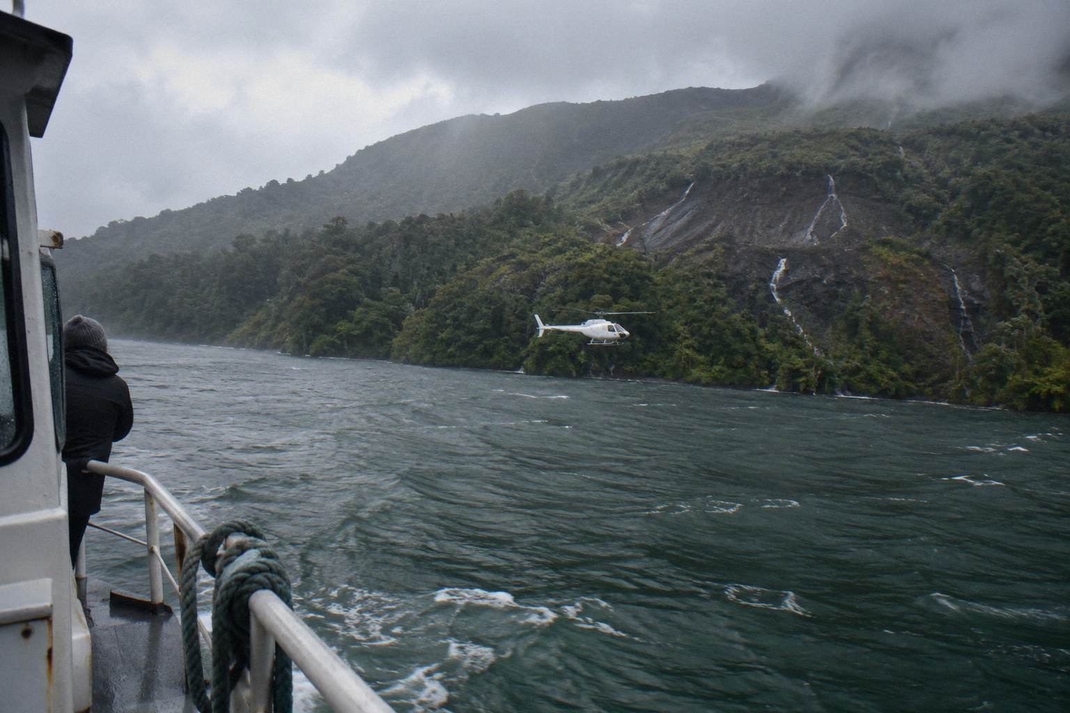
For the helicopter end of the roster, this is the trip that crosses both volcanoes in one outing:
What Time Of Year Gives The Best Chance Of Flying?
No season can guarantee that a Whakaari flight will actually depart, since conditions always matter, but your best odds come from late spring through early autumn, roughly October to April, when Rotorua enjoys its driest and warmest weather. Booking within this window statistically improves the chance that low cloud, wind, or rain will not force your scenic flight to be cancelled. The official Rotorua tourism guidance says exactly that about the region's weather. Outside that window, flights still operate; the operator runs all months of the year during daylight hours. The real variable is any given day, not any given month.
The rainfall record backs up the seasonal pattern. Monthly rainfall normals for Rotorua, covering the 30 years to 2020, show July as the wettest month at 137.4 mm and November as the driest at 86.8 mm, with the October to April window consistently drier than midwinter. More rain days mean more cloud, and cloud over the Bay of Plenty is what grounds island flights: a crossing with no visibility is a crossing nobody sells.
| Month | Rotorua rainfall, monthly normal (mm) |
|---|---|
| November | 86.8 |
| October | 92.9 |
| January | 93.8 |
| April | 133.0 |
| July | 137.4 |
Within a day, the operator's guidance is that mornings often give the calmest weather and smoothest flying with soft photo light, while afternoon flights can bring warmer temperatures and late-day colour, especially in winter. There is, in the operator's own words, no hard and fast answer to the best time, because it depends on the weather that day. The practical strategy for a Whakaari trip is to leave a spare morning or afternoon in the itinerary, so a reschedule is an inconvenience rather than a loss.
Mistakes To Avoid When Booking A Whakaari Flight
The five most common mistakes are assuming you can land on the island, expecting a guaranteed departure time, booking a same-day flight with no slack in your wider itinerary, ignoring the weight declaration requirements, and treating a published volcanic alert level as a fixed, unchanging fact rather than a condition that can shift and cancel your plans at short notice. Each of these trips up real bookings, and each is avoidable with one piece of knowledge. The first is the biggest: no flight lands on Whakaari, and any expectation of setting foot on the island will not be met by anything currently sold.
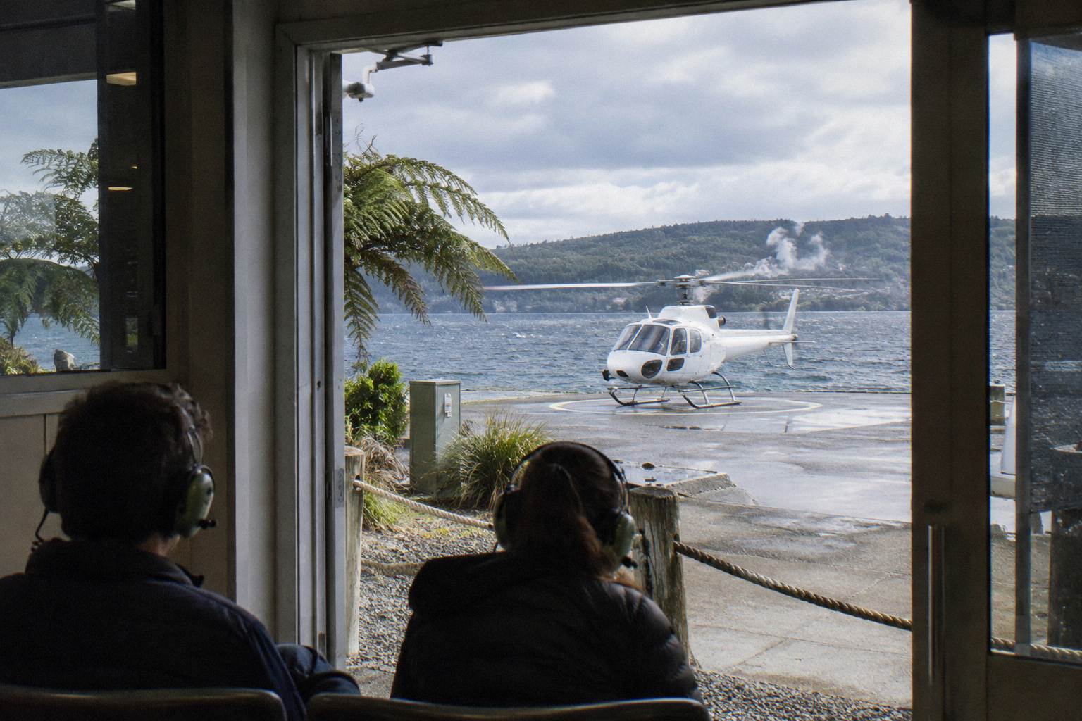
The second mistake is expecting certainty about departure. Flights over Whakaari cross open water to a remote island, which makes them more exposed to conditions than a 15-minute lakes circuit. The third follows from it: a traveller who books a flight for their final morning in Rotorua has no room to absorb a reschedule, and the operator's stated remedy for weather, working to reschedule or refund, cannot recover a day that no longer exists in the itinerary.
The fourth is the weight declaration. Weight must be declared at booking and passengers are weighed on arrival; the operator's terms state that any deviation from the declared weight may result in a flight being rescheduled, a surcharge being applied, or a booking being cancelled. A surcharge may apply over 110 kg, and a passenger over 135 kg as weighed requires two adult fares. The fifth mistake is quoting an alert level as a standing fact: the level changes, and the GeoNet Whakaari page is where the current status lives. For the wider question of whether these trips justify their cost, are helicopter tours worth it works through the value case.
With the mistakes mapped, the three flights that include Whakaari, side by side once more:
Common Questions About Whakaari Flyover Flights
Is White Island Still Active, And Is A Helicopter Flight Safe?
Yes, Whakaari is still an active volcano, monitored live by GeoNet. Landings are suspended, so flights from Rotorua operate as flyovers only, subject to weather and safe flying conditions, with the pilot and operator making the final call on the day.
Can You Land On White Island By Helicopter?
No. The official travel position is that there are currently no boat tours to, or helicopter flights that land on, the island. Every Whakaari experience sold from Rotorua is a flyover.
How Far Is White Island From Rotorua?
Whakaari lies about 48 km off the coast of Whakatane, so flights from Rotorua involve a long transit each way over water and farmland. That is why Whakaari trips run around two hours or more and are usually paired with Mount Tarawera.
What Happens If My Flight Is Cancelled For Weather?
The operator states that if a flight cannot go ahead due to weather, it will work with passengers to reschedule or provide a full refund. Where the booking terms include free cancellation, cancelling up to 24 hours in advance earns a full refund.
Do Helicopter Or Floatplane Flights Land On Mount Tarawera Instead?
Some do. The Volcanic Extremes helicopter trip lists a Mount Tarawera summit landing, though the operator's terms state that excursion landings are at the pilot's sole discretion and are never guaranteed. The floatplane Whakaari trips are flyovers.
Where Does The Alert Level Stand Right Now?
A fixed level is deliberately not printed here, because it changes any day. GeoNet publishes the current volcanic alert level and aviation colour code for Whakaari on its live volcano page, which is the source to check close to a flight date.