Is It Worth Flying Over Lake Tarawera And The Blue Lake?
A decision guide to the short crater lakes flights over Lake Tarawera and Tikitapu, the Blue Lake, comparing the 15-minute helicopter and floatplane options, what you see, and what they cost.
Rotorua's crater lakes sit in a volcanic landscape that reads as scattered blue fragments of water from ground level and as a connected system from the air. Lake Tarawera is the largest of them, and Tikitapu, the Blue Lake, sits beside Rotokakahi, the Green Lake, close enough that a short flight crosses all three in minutes. The question of whether the flight is worth it comes down to minutes, budget and how much volcano you want packed into them.
In short: the short crater lakes flights are worth it if you want the lakes district as a compact aerial experience at a lower price point, and the longer Tarawera flights are worth it if the volcano itself is the draw. The 15-Minute Crater Lakes Flight by Helicopter from Rotorua loops over the lakes district from the city Lakefront, and the Scenic Floatplane over Mt Tarawera and Waimangu Valley extends the same airspace across the 1886 rift for a longer ride from NZ$395 per person. Neither promises a landing or a view; both are weather calls, and the operator reschedules or refunds when conditions do not cooperate.
For a wider view of every scenic flight option in the district, the Rotorua scenic flights overview maps the routes, and the scenic flights map guide shows which lakes each one crosses.
| Quick Facts | |
|---|---|
| Blue Lake | Tikitapu, the smaller of the paired lakes beside Rotokakahi (Green Lake) |
| Operator for all roster flights | Volcanic Air, from the Lakefront, 1 Lakefront Drive, Rotorua |
| Shortest lakes flight | 15 minutes, helicopter or floatplane |
| Lakes named on the operator's flight page | Rotoiti, Okataina, Tarawera, Okareka, Rotomahana, Rotokakahi, Tikitapu |
| Lakes claimed on that page | 12 distinct crater lakes |
| Check-in | Helicopters 30 minutes prior, floatplanes 20 minutes prior |
| Cancellation on the booking listings | Free cancellation up to 24 hours in advance |
Yes, for most travellers the flight earns its price, because Tikitapu and Rotokakahi show their paired contrast only from above, and Lake Tarawera's scale and its 1886 eruption scars cannot be read from the shore. A 15-minute flight loops across the lakes district, while longer Tarawera routes add the rift itself. The one thing the flight cannot promise is a view: every departure depends on suitable weather, and the operator reschedules or fully refunds when conditions stop it.
The core of the worth-it case is geography. Tikitapu and Rotokakahi sit side by side in a single forested basin, one intensely blue, one deep green, and the reason for the colour difference only becomes obvious when you see both lakes whole. From a lakeside road you get one shoreline at a time. From the air you get the pair, plus Tarawera beyond them, in the same frame.
Lake Tarawera is a different proposition again. It fills a basin reshaped by the eruption on the night of 10 June 1886, when a rift opened across the mountain top, through Lake Rotomahana and into the area that became the Waimangu Valley, according to the GNS Tarawera fact sheet. More than 100 people were killed in villages near the mountain. Flying over the lake puts that event in scale: the summit domes, the rifted top and the lake that filled the scar all sit in one view.
Against that, the honest counter-case is that a 15-minute flight is short. You are airborne, you cross the lakes, you bank, and you are back over the city. Some travellers will find that enough, and the lower price reflects it. Others will want the Tarawera focus of the longer routes. Both positions are reasonable, which is why the rest of the article compares the actual options rather than pushing one.
Which Flight Covers Lake Tarawera And Tikitapu?
Every rostered crater lakes flight from the Lakefront crosses the lakes district, but the depth of Tarawera coverage splits them: the two 15-minute hops give the lakes loop, the Tarawera-focused routes push across the mountain and the rift, and the long combined flights reach Waimangu. The operator's flight page names Rotoiti, Okataina, Tarawera, Okareka, Rotomahana, Rotokakahi and Tikitapu on the crater lakes route. Choose by minutes and by whether Tarawera is a flypast or the centrepiece.
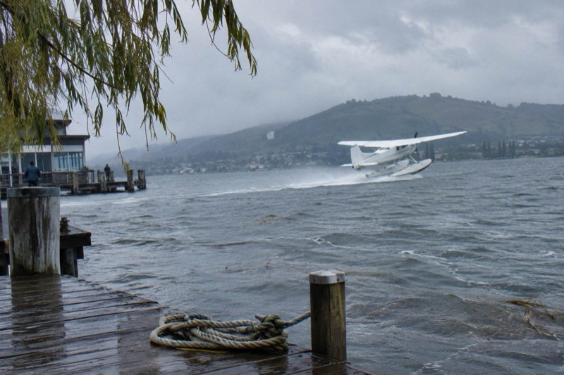
The starting point for the question in the title is the 15-Minute Crater Lakes Flight by Helicopter from Rotorua, the related flight on Rotorua Helicopter Tours. It lifts off from the Lakefront, crosses the lakes district, and returns within its quarter hour. The 15-Minute Crater Lakes Flight by Floatplane from Rotorua covers equivalent airspace from Lake Rotorua itself, taking off from the lakefront pier.
The mid-step is the Mt. Tarawera Volcano Scenic Floatplane Tour from Rotorua, a 30-minute flight that centres on the volcano, and the Rotorua: Scenic Flight over Mt Tarawera & Waimangu Valley, also a 30-minute flight with a 40-minute total experience, rated 4.9 from 28 reviews, from NZ$395 per person. That flight follows the 1886 rift line toward the valley the eruption created.
| Flight | Type | Flight Time | Landing | Tarawera Coverage |
|---|---|---|---|---|
| 15-Minute Crater Lakes Flight by Helicopter | Helicopter | 15 minutes | None | Lakes district loop including Tarawera |
| 15-Minute Crater Lakes Flight by Floatplane | Floatplane | 15 minutes | None | Lakes district loop including Tarawera |
| Tarawera Volcano Floatplane | Floatplane | 30 minutes | None | Volcano-centred |
| Scenic Floatplane, Tarawera And Waimangu | Floatplane | 30 minutes | None | Tarawera and the rift line to Waimangu |
Whether to book the helicopter or floatplane version of the short hop is covered further down; the sight lines are similar, the take-off and landing are not.
What Do You Actually See From The Air?
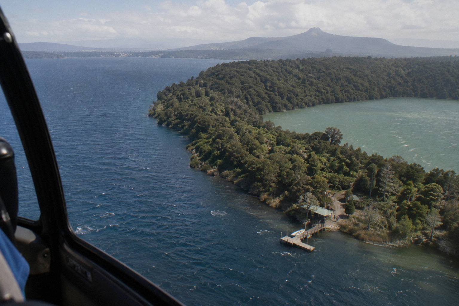
The operator's crater lakes flight page promises views of the seven named lakes, Mokoia Island, Sulphur Bay and the city, and claims 12 distinct crater lakes across the wider district. Tikitapu and Rotokakahi present as a blue-green pair in one basin, and Lake Tarawera presents as a large body of water beneath the rifted summit of the volcano. Conditions decide how much of that is visible on any given day.
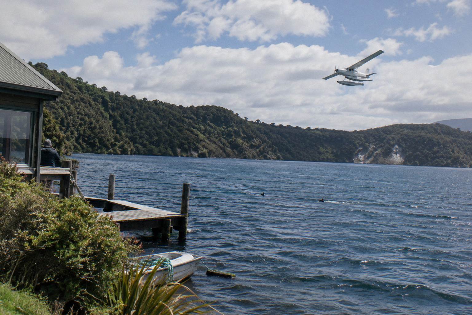
Start with the pair that names the question. Tikitapu, the Blue Lake, is small, intensely coloured and popular with locals; Rotokakahi, the Green Lake, sits immediately beside it and carries a different hue. Seeing the two together, whole, from a few hundred metres up, is the single image that ground-level visits cannot reproduce. The colour contrast is the payoff.
Beyond the pair, the district stacks up quickly. The operator's flight page lists Rotoiti, Okataina, Tarawera, Okareka, Rotomahana, Rotokakahi and Tikitapu on the route, and the same page describes the wider district as 12 distinct crater lakes. Okareka and Okataina sit between the city and Tarawera, so a Tarawera-bound flight crosses them on the way out. Rotomahana lies on the far side of the volcano, filling part of the 1886 rupture zone; the Department of Conservation's Lake Tarawera Scenic Reserve page covers the lake and the eruption story.
Closer to town, the floatplane routes climb around Mokoia Island, which the operator's page calls a native bird sanctuary, with Sulphur Bay and the city in the same arc. The helicopter routes share the same airspace on departure. None of that is promised as a sighting on any single flight: the booking wording for the Tarawera and Waimangu flight is blunt that the tour will not go ahead if it is not safe or if the views cannot be seen.
The summit itself is worth naming. Tarawera stands 1,111 m at its highest dome, Ruawahia, one of three domes with Tarawera and Wahanga, according to GNS. From the air the domes read as a chain, and the operator's flight wording describes flying over the 8 km of rift across the mountain top. That is the operator's span; GNS describes the full 1886 rift as 17 km, continuing through Lake Rotomahana into the Waimangu area. Two different spans, two different claims, both attributable and neither interchangeable.
Helicopter Or Floatplane For The Lakes Flight?
The two 15-minute crater lakes flights cover similar airspace but differ in the experience of leaving the ground: the helicopter lifts from a pad at the Lakefront, the floatplane takes off from Lake Rotorua itself at the lakefront pier, which makes the water departure the floatplane's signature. Check-in differs too, 30 minutes prior for helicopters and 20 for floatplanes. Pick the floatplane for the lake take-off, the helicopter for the machine itself.
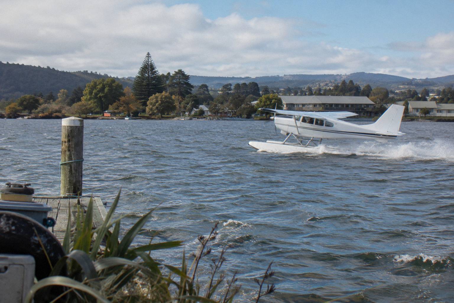
Both are Volcanic Air flights from the same address, 1 Lakefront Drive, so the decision is not about operator or meeting point. It is about the aircraft. The floatplane's departure is a boat-like run across Lake Rotorua before the wings lift it clear, and the return lands back on the water. The helicopter goes straight up, hovers, and can hold tighter lines over the terrain. Neither version of the 15-minute hop includes a landing; both are aerial loops.
The weight and seating rules are the same family of requirements across both. Weights are declared at booking and checked on arrival, and a declared weight that drifts far from the scale reading can mean a reschedule, a surcharge or a cancelled booking at the operator's sole discretion. Over 110 kg a surcharge may apply, and over 135 kg as weighed requires two adult fares. The operator FAQ answers the practical questions: children of all ages are welcome, under 2 on a lap, with child rates for 2 to 11.
The 15-Minute Crater Lakes Flight by Floatplane from Rotorua has 11 reviews on its booking listing, a pool too small to treat as a verdict either way. The helicopter version has no rating printed. Judge these on the route and the aircraft, not on thin review pools.
How Long Is The Flight And What Does It Cost?
The short answer is 15 minutes airborne for the lakes loop, 30 minutes for the Tarawera-focused floatplane routes, and prices that scale with minutes: the Scenic Floatplane over Tarawera and Waimangu starts from NZ$395 per person, the Orakei Korako landing floatplane from NZ$845, and the three-hour Geothermal Park landing helicopter from NZ$1,490. All amounts are New Zealand dollars. The two 15-minute crater lakes hops print no from-price here; check the live listings.
The price ladder maps cleanly onto airtime and landings. At the bottom, the pure flybys. The Scenic Floatplane, Tarawera And Waimangu, is the one with a printed from-price in this family, NZ$395 per person for a 30-minute flight, and it carries the strongest review signal of the set, 4.9 from 28 reviews. The Tarawera Volcano Floatplane is the same duration with no printed price.
| Flight | Flight Time | Landing | From Price Per Person | Review Signal |
|---|---|---|---|---|
| Scenic Floatplane, Tarawera And Waimangu | 30 minutes | None | NZ$395 | 4.9 from 28 reviews |
| Floatplane, Orakei Korako Landing | 2 hours total | Orakei Korako | NZ$845 | 8 reviews, no rating printed |
| Floatplane, Waimangu Included | 2 hours total | None | NZ$1,230 | 7 reviews, no rating printed |
| Geothermal Park Landing, 3 Hours | 3 hours | Tarawera and Orakei Korako | NZ$1,490 | No reviews |
Every listing in the roster carries free cancellation up to 24 hours in advance on its booking terms, which matters for a weather-dependent product. If the operator cancels for weather or volcanic activity before the flight starts, the terms provide a full refund, and the FAQ says the operator will work with you to reschedule or refund.
The worth-it arithmetic is straightforward. If the lakes are the goal, the 15-minute format is the cheapest entry point into the district's airspace. If Tarawera is the goal, the 30-minute scenic floatplane at NZ$395 is the value pick, and the longer landing flights are the splurge tier. Booking well ahead is covered in how far in advance to book a Rotorua helicopter flight.
What Is The Lake Tarawera Story From Above?
The lake you fly over is a product of the eruption on the night of 10 June 1886, when a rift opened across Tarawera's summit and the explosions destroyed the Pink and White Terraces at nearby Lake Rotomahana, killing more than 100 people in the villages below. Te Wairoa, the buried village, sits on the lake's outlet road today. From the air the summit domes, the rift and the lake read as one connected story.
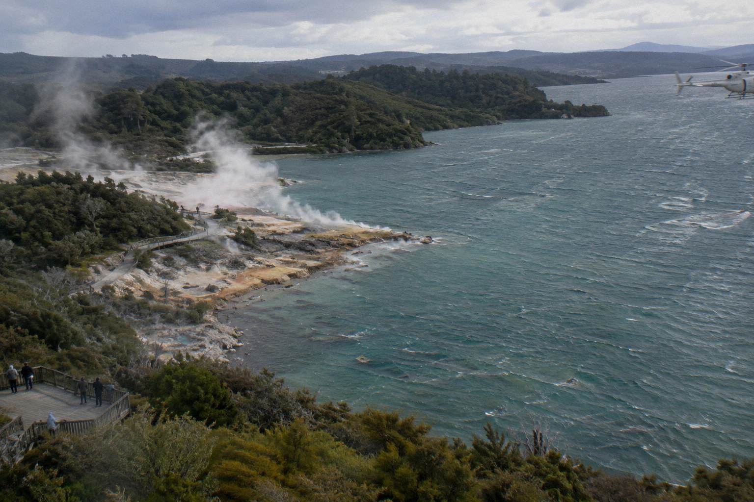
The detail is worth knowing before you fly, because it changes what you look at. The three domes, Ruawahia, Tarawera and Wahanga, form the summit chain, and GNS describes the 1886 rift as running 17 km across the mountain top, through Lake Rotomahana and into the Waimangu Valley area. The NZ History account of the eruption records that the famous silica hot springs known as the Pink and White Terraces were buried, and that Te Wairoa became known as the Buried Village.
Lake Rotomahana itself grew after the eruption, and the sources disagree on the multiple: DOC says twenty times the original size, GNS five times. Neither figure is printed as settled here. What is settled is that the lake you cross on the Tarawera routes occupies ground that was reshaped in a single night, and that the Waimangu Volcanic Valley's geothermal system dates to that same event, per Waimangu's own pages.
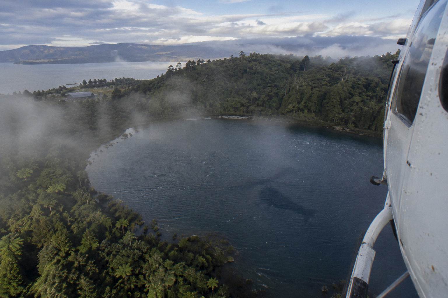
For the deeper background, including how the summit landing flights handle access, see the Mount Tarawera 1886 eruption explained from above. Independent summit access is not permitted; the mountain is reached through authorised guided tours or approved helicopter landings, and the Ruawahia 2B Trust, which governs the maunga alongside Ngati Rangitihi, reinvests most tourism concession revenue in conservation.
None of the flights discussed in the title question land on the volcano. The 15-minute hops and the scenic floatplanes are flyovers. Landing is a separate product, a separate price, and never guaranteed: the operator's own terms say excursion landings are at the pilot's sole discretion and undertaken at the passenger's own risk.
When Is The Best Time To Fly Over The Lakes?
The operator flies daily all year in daylight hours, and the FAQ says mornings often give the calmest weather and smoothest flying with soft photo light, while afternoons can offer warmer temperatures and late-day colour, especially in winter. The driest, warmest window in Rotorua runs from late spring in October to early autumn in April. There is no single best slot; the weather on the day decides, and unsuitable flights are rescheduled.
The rainfall record backs up the seasonality. Rotorua's 1991 to 2020 monthly normals, as charted by figure.nz from NIWA data, put November lowest at 86.8 mm and July highest at 137.4 mm, with the October to April window consistently drier than midwinter. The Rotorua visitor information FAQ gives the same advice in plainer terms: driest and warmest from late spring to early autumn.
| Month | Rainfall (mm) |
|---|---|
| January | 93.8 |
| February | 100.4 |
| March | 100.3 |
| April | 133.0 |
| May | 130.2 |
| June | 131.9 |
| July | 137.4 |
| August | 125.2 |
| September | 106.6 |
| October | 92.9 |
| November | 86.8 |
| December | 117.1 |
For the lakes specifically, morning light is a real consideration. Tikitapu's colour reads strongest with low sun on the water, and the calm-air mornings the operator describes are the ones most likely to give clean reflections across both paired lakes. That is a tendency, not a promise; the FAQ is explicit that there is no hard and fast answer and that the day's conditions rule.
Winter flying has its own case: fewer flights booked, crisper air, and the possibility of late-day colour on the return leg. The trade is the higher rain risk shown above. Whenever you book, the 24 hour free-cancellation terms on every rostered listing mean a change of plan costs nothing if you act inside the window, and an operator weather cancellation is refunded in full.
Mistakes To Avoid When Booking The Lakes Flight
The mistakes that cost people are booking the wrong format for their goal, underestimating check-in time, declaring an inaccurate weight, assuming a specific view is guaranteed, and cancelling too late. Check-in is 30 minutes before helicopter flights and 20 before floatplanes, weights are verified on arrival against the declared figure, and views depend entirely on the day. Free cancellation runs to 24 hours before the flight, not after.
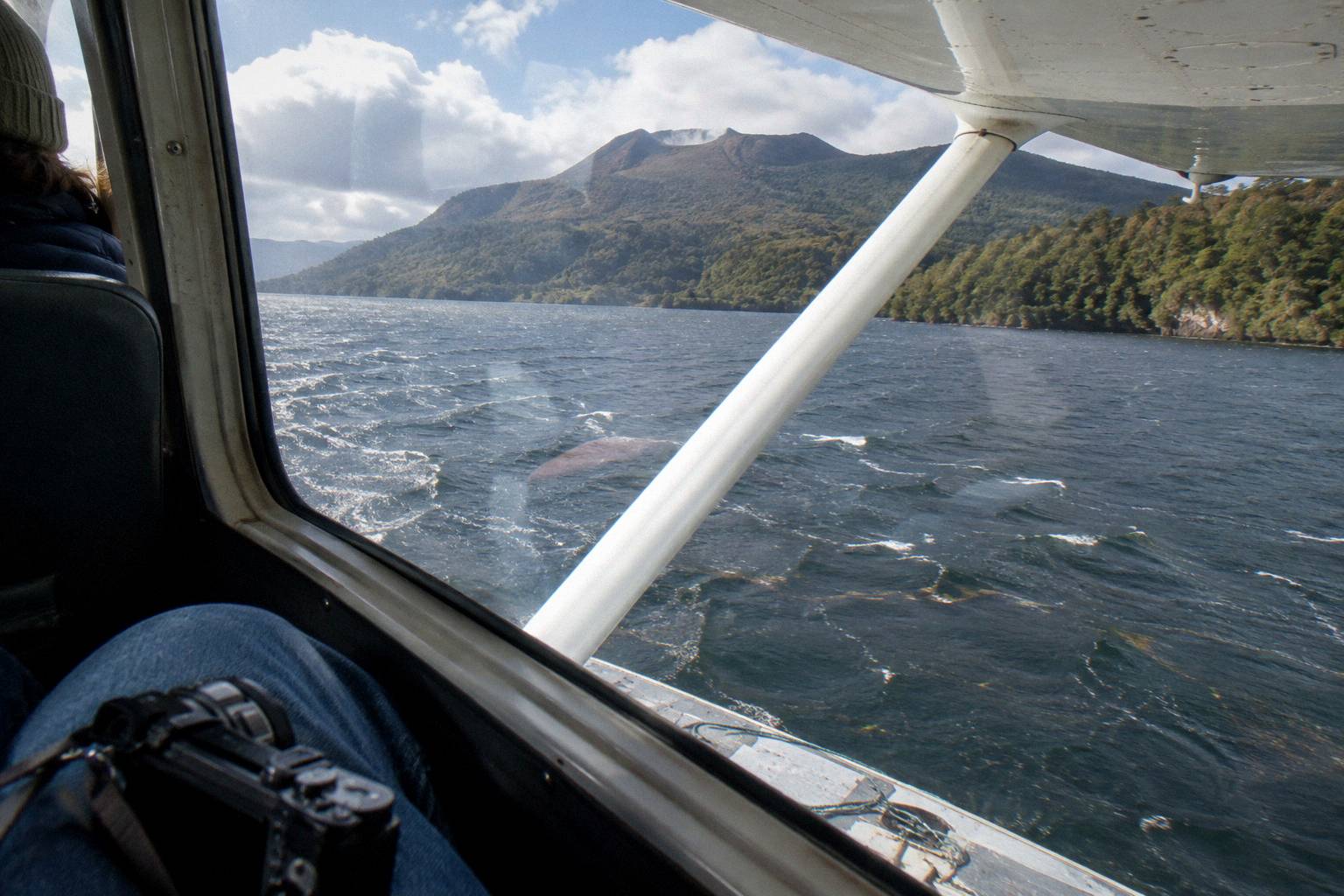
The first mistake is format confusion. Travellers who want the water take-off book the floatplane and enjoy it; travellers who book the floatplane expecting a mountain landing are disappointed, because the crater lakes flights and the Tarawera scenic floatplanes are flyovers only. If a landing matters, the Tarawera landing helicopter flights are the products that attempt one, and even those are at the pilot's discretion.
The second is the weight declaration. It feels like paperwork; it is a balance calculation. The operator weighs passengers on arrival, and a declared weight that does not match can reschedule or cancel the flight. Declare accurately, including camera bags you will carry, and the process is quick.
The third is treating the weather promise as implied. It is not. The booking wording for the scenic flights is that the tour will not go ahead if it is not safe or if the views cannot be seen, and the operator's FAQ commits to rescheduling or a full refund when weather stops a flight. Plan the flight early in a Rotorua stay so a reschedule has room to land on another morning. For what that process looks like, what happens when a flight is cancelled for weather walks through it.
So, back to the opening question. The Blue Lake earns its place on the route by being half of a pair you can only understand from the air, Tarawera earns its place by scale and history, and the short formats deliver both at the lowest entry price in the district's flight lineup. Book the format that matches your minutes, leave slack in the itinerary for weather, and the flight does what the route promises when the sky allows.
Common Questions About The Crater Lakes Flights
Is It Worth Flying Over Lake Tarawera And The Blue Lake?
For most travellers, yes. Tikitapu and Rotokakahi only show their paired blue-green contrast from the air, and Lake Tarawera's scale and 1886 eruption scars are hard to read from the shore. The 15-minute formats keep the price down, and the 30-minute Tarawera floatplane at from NZ$395 per person extends the flight across the rift line.
Can You See Both The Blue Lake And Green Lake From The Flight?
The operator's crater lakes flight page names both Tikitapu, the Blue Lake, and Rotokakahi, the Green Lake, on the route alongside Rotoiti, Okataina, Tarawera, Okareka and Rotomahana. What is visible on any flight depends on the day's conditions.
How Long Is The Crater Lakes Flight?
The crater lakes flights run 15 minutes airborne in both the helicopter and floatplane versions. The Tarawera-focused scenic floatplanes run 30-minute flights, with a 40-minute total experience for the Tarawera and Waimangu route.
Do The Lakes Flights Land Anywhere?
No. The 15-minute crater lakes flights, the Tarawera Volcano Floatplane and the Scenic Floatplane over Tarawera and Waimangu are all flyovers with no landing. Only the Tarawera landing helicopter flights attempt a summit landing, and those are at the pilot's sole discretion.
Where Do The Lakes Flights Take Off From Rotorua?
All flights depart from the Volcanic Air base at the Lakefront, 1 Lakefront Drive, Rotorua. Floatplanes take off from Lake Rotorua at the lakefront pier. Check in 30 minutes before a helicopter flight and 20 minutes before a floatplane flight.
Can I Cancel The Flight If The Weather Looks Bad?
Every rostered listing carries free cancellation up to 24 hours in advance for a full refund. If the operator cancels before the flight for weather or volcanic activity, the terms provide a full refund, and the FAQ says the operator will work with you to reschedule or refund.